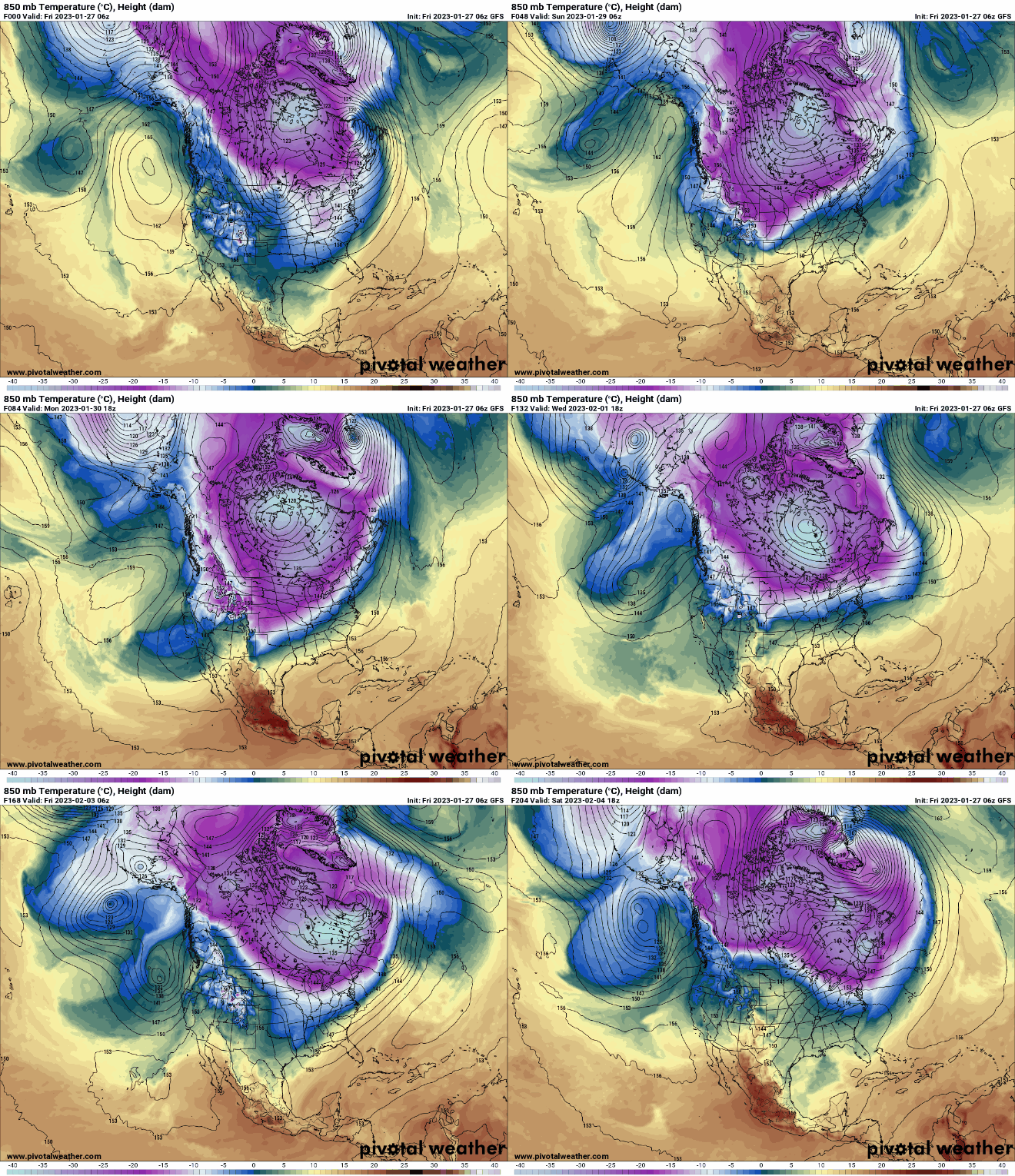
Bundle up: Bitter cold weekend, deep freeze week ahead
Below-zero highs Saturday, Sunday up north; single digits above in the south

Go Deeper.
Create an account or log in to save stories.
Like this?
Thanks for liking this story! We have added it to a list of your favorite stories.


Temperatures will drop through the day Friday as gusty northwest winds at 15-25 mph blow in much colder air. Lows Friday night will drop into the single digits southeast to near 20 below zero northwest.
Gusty winds blow a fresh layer of snowfall
Many places picked up another 1 to 2 inches of snow Thursday night into early Friday. Some spots near the North Shore saw more: 4.5 inches fell around Silver Bay. The Twin Cities picked up 2.2 inches at the Minneapolis-St. Paul International Airport.

Gusty winds are blowing across the state Friday from the northwest, pushing in the coldest air in a month. Wind gusts have been near 50 mph in western Minnesota and we can expect gusts of 30 to 35 mph in the eastern portions of the state Friday.

Temperatures will drop through the day from the 20s and 30s in southern Minnesota into the teens by evening. Northern Minnesota will see temperatures fall from around 10 early this morning to below zero already by Friday evening.
Turn Up Your Support
MPR News helps you turn down the noise and build shared understanding. Turn up your support for this public resource and keep trusted journalism accessible to all.
Frigid weekend with bitter wind chills
Temperatures will drop to near 20 below zero in northwestern Minnesota Friday night into early Saturday. The Twin Cities and portions of southeastern Minnesota will stay just above zero.

High temperatures Saturday and Sunday will remain below zero in the north while southern Minnesota will squeeze out single digit highs above zero.

Another system will graze far southern Minnesota with snow on Saturday. Some places along Interstate 90 and the Minnesota-Iowa border could see up to 1 to 3 inches of snow.

Wind chill values will be range from 10 to 30 below zero Saturday and even colder on Sunday with wind chills approaching 35 to 40 below zero in northern Minnesota.

Warming up finally by next weekend
This cold snap will last a good week but finally depart by the end of next week. Southern Minnesota should see high temperatures return to the 20s by Saturday if not as soon as next Friday again. In the meantime, bundle up.