
Snow ebbs; subzero temps overnight; 20s-30s by Sunday
More snow likely late Monday

Go Deeper.
Create an account or log in to save stories.
Like this?
Thanks for liking this story! We have added it to a list of your favorite stories.


Updated 10 a.m. Thursday
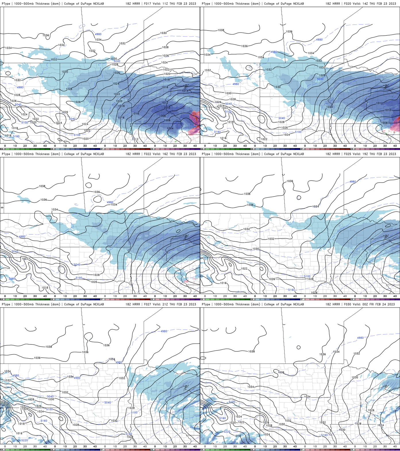
Snow showers are winding down midmorning Thursday and will taper off and lift north and northeast through the day. Winter storm and blizzard warnings remain in effect for a few more hours through noon Thursday.
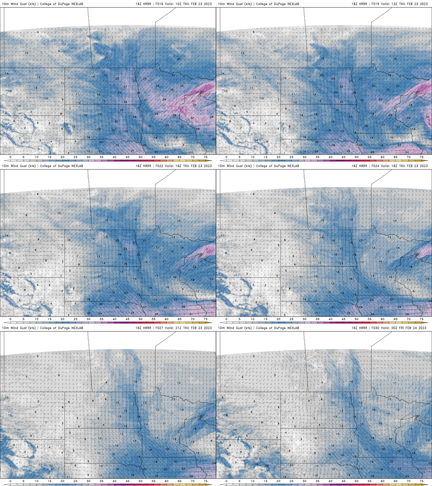
Winds will also lighten up through the afternoon with cold temps settling in Thursday night.
Latest snow surge starts to diminish
Snow totals are coming in over a foot for many areas. Twin Cities totals are generally running about 13 to as much as 19 inches (Apple Valley). Some pockets of the northeast metro saw less, with around 7 inches in Forest Lake and Osceola, Wis. Here are the latest totals:
The snow continues to depart Minnesota with snow showers lingering along the North Shore into the afternoon Thursday.
Turn Up Your Support
MPR News helps you turn down the noise and build shared understanding. Turn up your support for this public resource and keep trusted journalism accessible to all.
Winds will begin to lighten through Thursday afternoon.
Briefly colder after the storm
Temperatures will drop Thursday night into early Friday to subzero readings statewide.

Sunshine will return Friday, but it will be nearly 20 degrees below normal with highs in the low teens and single digits. Some spots in northwestern Minnesota will even stay below zero.

20s return to southern Minnesota Saturday and by Sunday we’ll see highs in the 20s and 30s.

Sunday night into Monday brings our next storm system, which is likely to start as rain in southern Minnesota due to the mild temperatures and heavy snow north. It will turn to all snow at some point late Monday.

