
Morning sunshine with snow developing late Tuesday into Wednesday
Twin Cities may see 2-4 inches; 40s possible Sunday

Go Deeper.
Create an account or log in to save stories.
Like this?
Thanks for liking this story! We have added it to a list of your favorite stories.


Enjoy a few hours of sunshine Tuesday. Clouds race back in with snow developing later in the day Tuesday into Wednesday. We’ll be briefly cooler Thursday before milder air returns Friday.
Tuesday morning sun, evening snow
Watch out for refreeze Tuesday morning as skies cleared and temperatures are well below freezing statewide. We’ll see clear skies through much of the morning for most of the state before clouds race back in and thicken up in the afternoon.
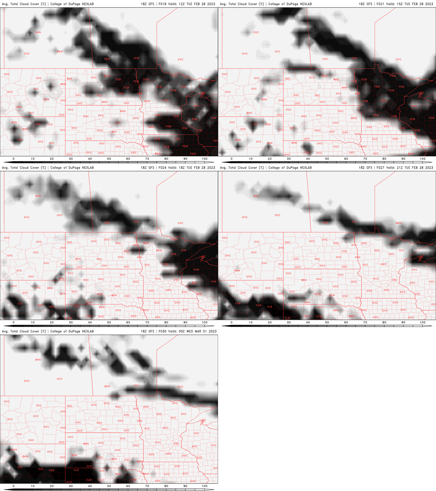
High temperatures will be near or slightly above normal this last day of meteorological winter, primarily in the 30s and 20s.

Snow showers will already push into far western and southwest Minnesota later Tuesday afternoon and spread east in the evening and overnight into Wednesday.
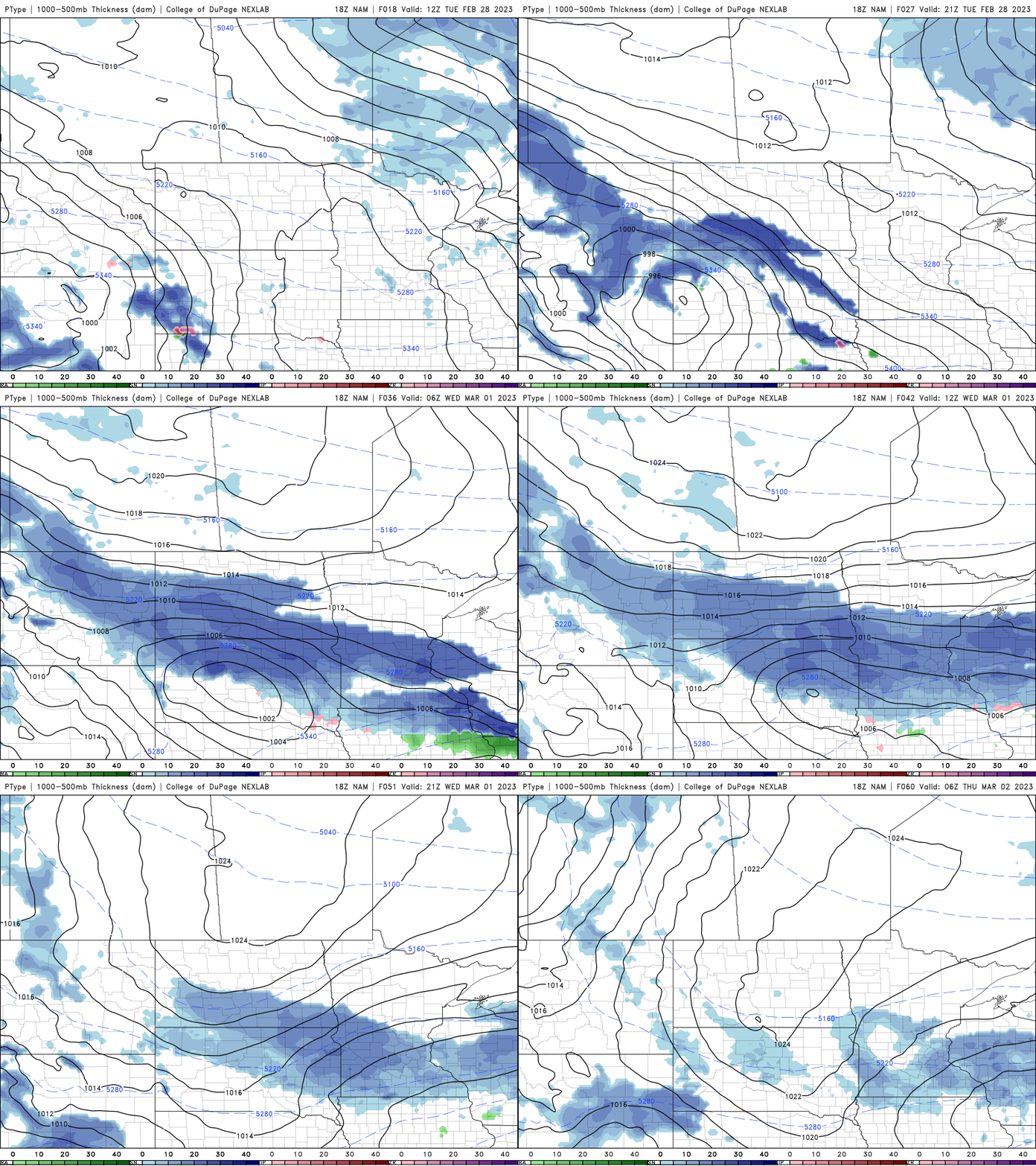
Anticipate a swath of accumulating snow across much of central Minnesota into western Wisconsin.

High temperatures Wednesday will remain mild, in the 30s south and 20s north but cooler air briefly returns Thursday. Highs will be mainly in the 20s with pockets of teens in the northwest to near 30 in southeast Minnesota.

We’re back in the 30s and 20s with even 40s becoming possible in southern Minnesota by Sunday and Monday. It’ll also be notably more quiet and dry for several days.
Turn Up Your Support
MPR News helps you turn down the noise and build shared understanding. Turn up your support for this public resource and keep trusted journalism accessible to all.

