
Weekend's milder; wintry mix Sunday; many states saw a wet winter
Temperatures will be near or above normal

Go Deeper.
Create an account or log in to save stories.
Like this?
Thanks for liking this story! We have added it to a list of your favorite stories.


Enjoy a couple more dry days with milder high temperatures, in the 30s for Friday into the weekend. The next storm system brings rain and snow Sunday into Monday with accumulations possible.
Milder temps again for the weekend
High temperatures Friday will be above freezing nearly statewide after burning off some freezing fog.

We’ll see some hazy sunshine Friday and Saturday through occasional clouds. Temperatures Friday night will drop below freezing into the 20s and teens.

High temperatures Saturday will be similar to Friday’s, in the 30s. Temperatures will be slightly cooler in the Red River Valley, in the upper 20s.
Turn Up Your Support
MPR News helps you turn down the noise and build shared understanding. Turn up your support for this public resource and keep trusted journalism accessible to all.

Messy storm system Sunday into Monday
The next storm system brings rain and snow Sunday afternoon into Monday.
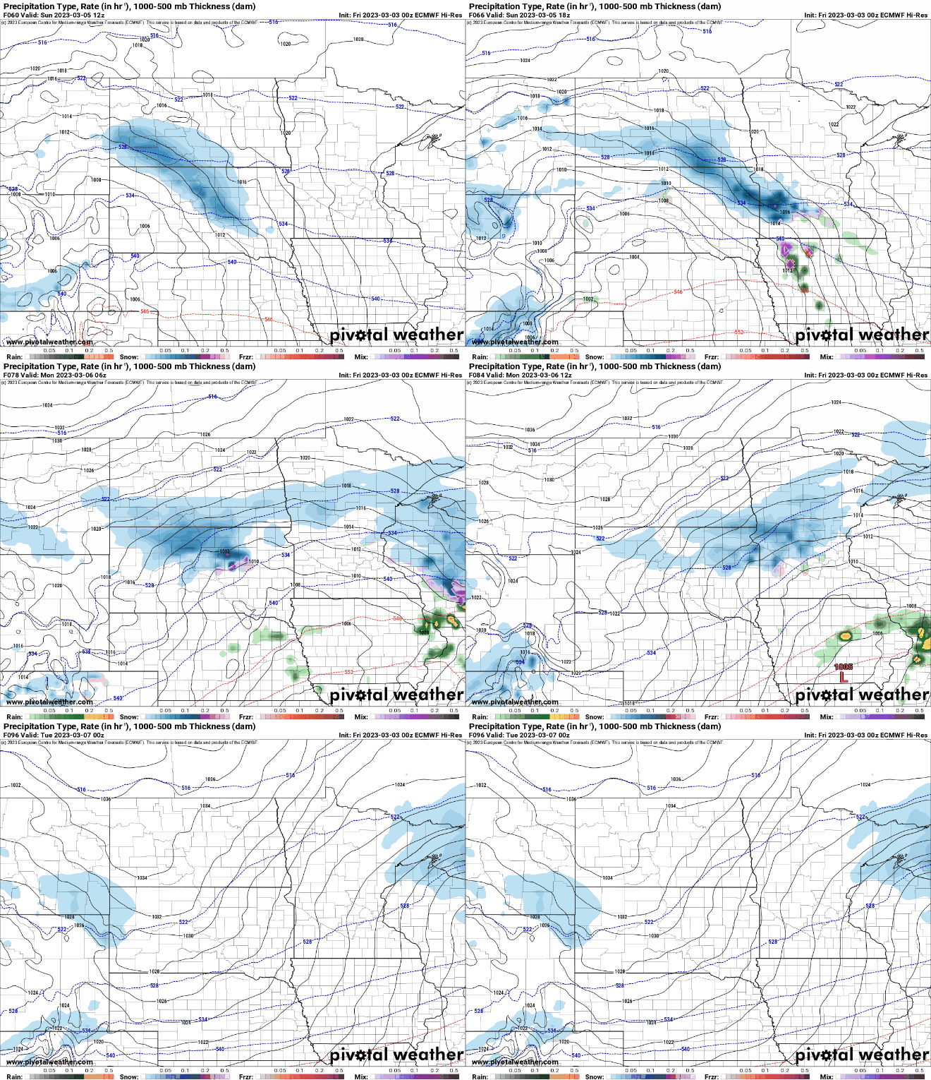
We can expect some slushy accumulation though totals may be limited some with above freezing temperatures.

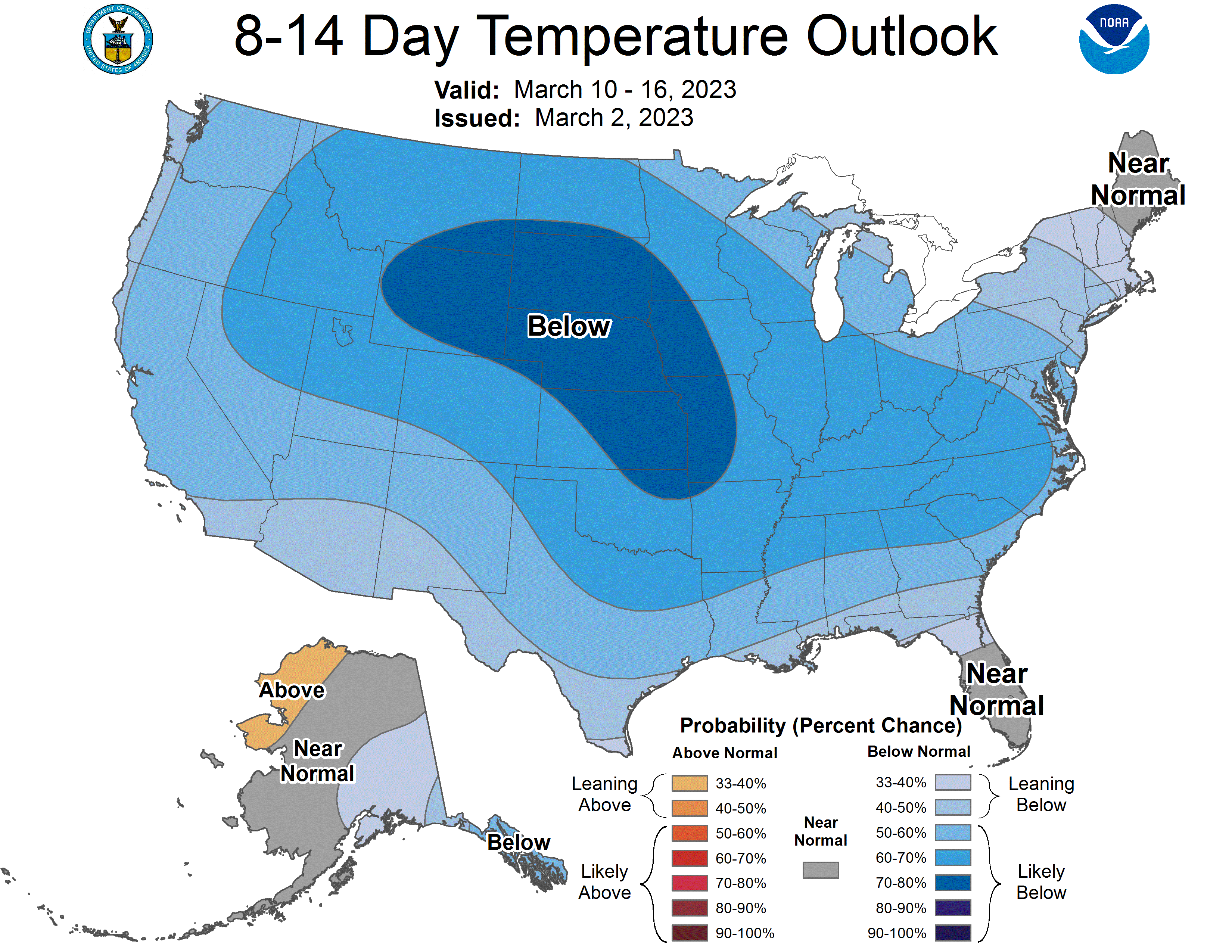
Expect some potential additional accumulation Monday on top of these figures pictured above. Beyond Monday, temperatures do cool to below normal readings, which by late next week means highs in the 20s to near freezing.
It does not look like we’re in for a blast of arctic air.
Winter was wet from California to Wisconsin
Here’s another interesting look at our wet winter. Climatologist Brian Brettschneider, created this map that shows winter precipitation ranking (since 1895) on a national scale.
Blue and green shaded regions show places that saw one of their wettest winters on record. The map shows well from central California through the Rockies into Minnesota the winter storm track pattern.

Speaking of lots of precipitation, the spring severe weather season is underway in the deep south and southern plains.
There were six tornado reports late Thursday with numerous high wind and flooding reports from thunderstorms. The area forecast was for a moderate risk of severe storms.


