
Quiet and dry Friday with more snow developing Saturday
Seasonable temperatures Friday afternoon

Go Deeper.
Create an account or log in to save stories.
Like this?
Thanks for liking this story! We have added it to a list of your favorite stories.


Friday will see highs mainly in the 30s. We’ll have some peeks of sun but for the most part it will be mostly cloudy. More snow develops Saturday with accumulation nearly statewide.
Dry, quiet Friday
Make room Saturday for more snow, but first we have a dry and quiet Friday. High temperatures will mostly be in the 30s, but western Minnesota may remain just below freezing.

We’re unlikely to see much in the way of sunshine as cloud cover will linger, but there will be some peeks of it. This time of year, even with cloud cover, the sun is able to work its magic unless it’s well below freezing. The midday sun angle is 72 percent higher now than it was at the winter solstice.
Watch for things to get potentially slick again Friday night into early Saturday as temps dip below freezing. Northeastern Minnesota could see lows in the teens and even single digits.
Turn Up Your Support
MPR News helps you turn down the noise and build shared understanding. Turn up your support for this public resource and keep trusted journalism accessible to all.

More snowfall Saturday into Saturday night
The next system will bring another blanket of snow to much of Minnesota Saturday into Saturday night.
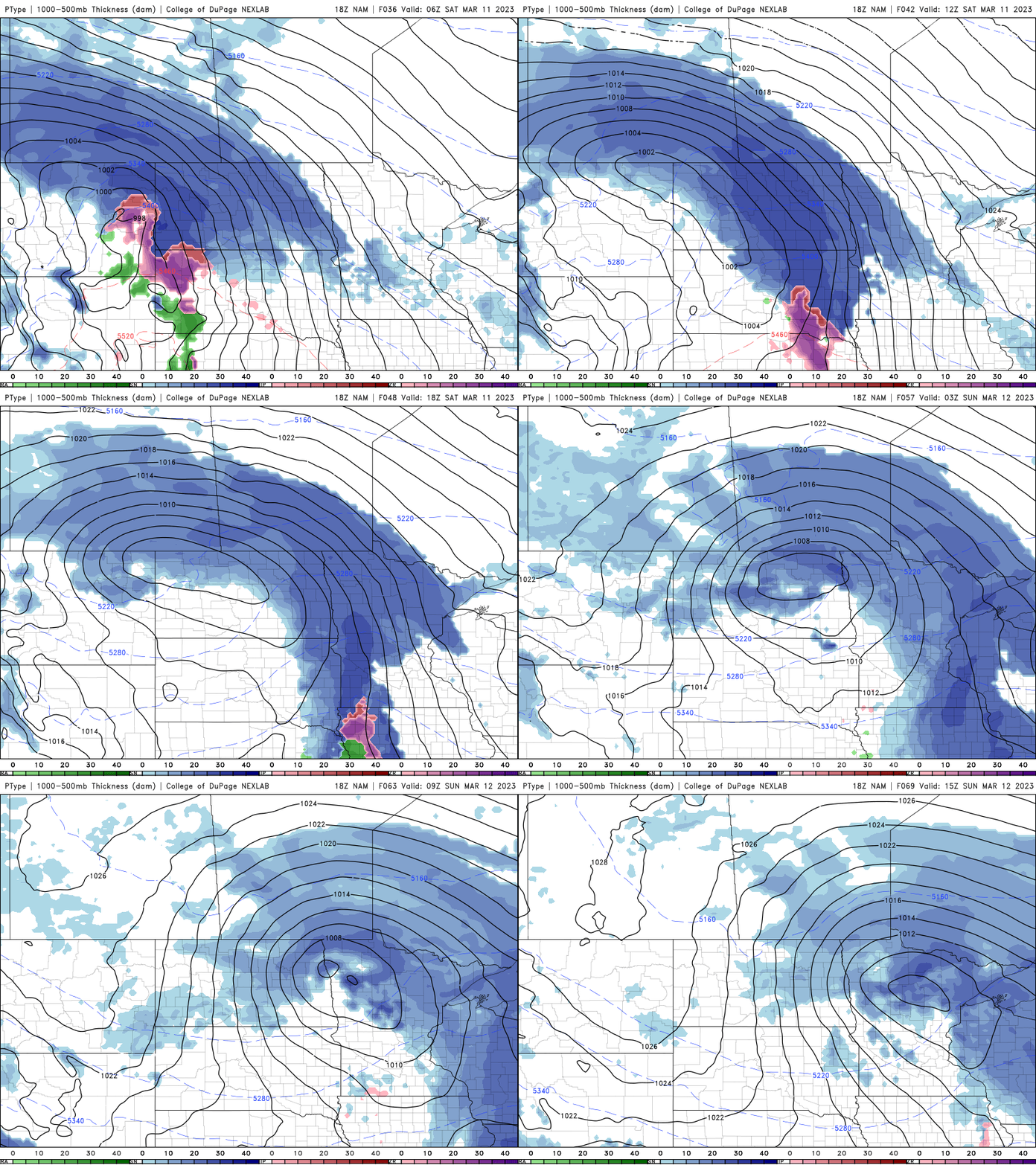
The heaviest snow looks to fall in north-central and northwestern Minnesota where many areas look to see potentially more than a half foot.

We’ll have some lingering snow showers, especially in northeastern Minnesota into Sunday with mostly cloudy skies statewide. High temperatures will range from the upper 20s to the mid-30s.

Next week will see below-normal temperatures overall due mainly to the fact that the normal high warms several degrees over the next seven days while our forecast highs stay pretty similar to what we’ve been experiencing.

