
Colder then warmer, watching a late week storm system
Some sun with below normal temps Monday and Tuesday

Go Deeper.
Create an account or log in to save stories.
Like this?
Thanks for liking this story! We have added it to a list of your favorite stories.


Below normal temperatures to start the week with a midweek warm up. We’re watching a developing late week storm that will bring rain and snow late Thursday into Friday to Minnesota.
Chilly behind the weekend snow
Much of northern Minnesota saw more than a foot of snow and, in the wake of the weekend storm, colder air has settled in. Low temperatures were in the single digits and subzero across northern Minnesota early Monday morning.

We are not alone in the snow pack race this season. North America is reporting above normal snow cover extent and is one of the highest since 2006.

High temperatures Monday will be subfreezing statewide which is about 10 to as much as 20 degrees colder than normal for the date. It will be another cold night Monday night with lows falling into the single digits for most except the immediate urban heat island in the Twin Cities.
Turn Up Your Support
MPR News helps you turn down the noise and build shared understanding. Turn up your support for this public resource and keep trusted journalism accessible to all.

Tuesday will be warmer, but still below normal, mostly in the low 30s but with a fair amount of sunshine.

Warmer air then moves in for midweek. We should see above normal temperatures for many Wednesday and Thursday.
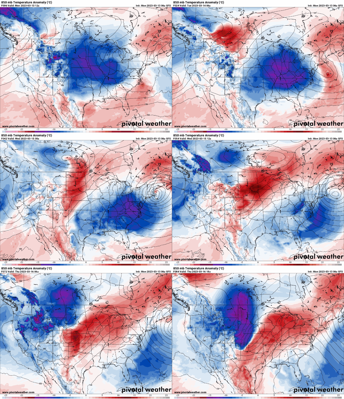
Highs Wednesday afternoon will be in the 40s for a large swath of Minnesota and continue in southeast Minnesota Thursday.

Late week storm potential
Another atmospheric river event is slamming California Tuesday and that system will regroup after moving over the Rockies and become our next storm system late Thursday into Friday in Minnesota. The storm is likely to bring significant snow and rainfall to portions of Minnesota.
A waterlogged California is bracing for yet another atmospheric river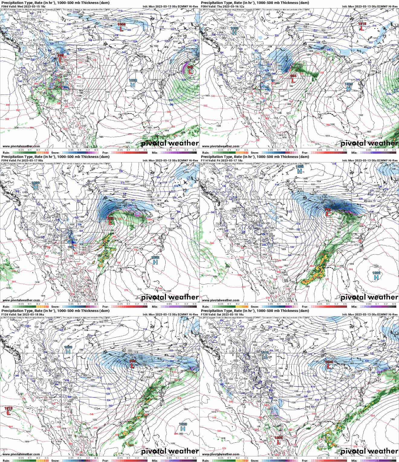
While pinpointing who will get heavy snow versus heavy rain or both at this point is uncertain, the storm does look to deliver quite a bit of liquid equivalent precipitation with up to one inch or more possible in some model forecasts.


