
Much colder than normal Friday and Saturday; warmer next week
Temperatures up to 20 to 25 degrees below normal to start the weekend

Go Deeper.
Create an account or log in to save stories.
Like this?
Thanks for liking this story! We have added it to a list of your favorite stories.


High temperatures Friday will be mainly in teens, struggling to reach 20 for some. Blustery northwest winds at 10-25 mph will create subzero wind chills through the morning. Temperatures warm to normal by Monday.
A cold, windy couple of days
Behind our latest storm cold air has settled in. Temperatures will remain in the teens for most Friday with some places in western Minnesota not getting out of the single digits.

Winds will remain blustery today and Saturday as well creating some bitter wind chills for mid March. Northwest winds will be 15-25 mph Friday and still 10-20 mph Saturday.
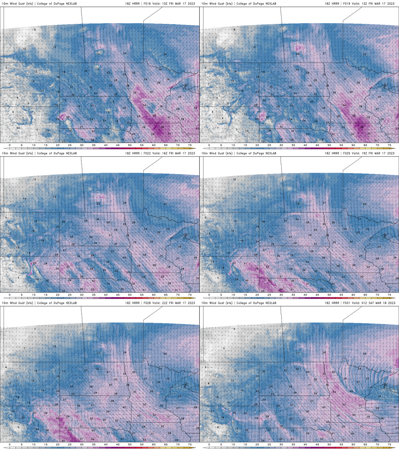
Wind chills Saturday morning, again will be subzero for many.

Saturday night will bring our coldest low temperatures as skies clear out and winds calm down. Look for single digits and even subzero readings in western Minnesota.

Warmer next week with another storm?
We’re in for some consistent warmth, or at least ‘normal’ temperatures next week. Highs will mainly be in the 40s with 30s in northern Minnesota. We could even see our first 50 in southern Minnesota.

We’ll also be watching the next storm system which could bring rain (and snow) as early as Wednesday.
Turn Up Your Support
MPR News helps you turn down the noise and build shared understanding. Turn up your support for this public resource and keep trusted journalism accessible to all.

