Spring begins but winter hangs on with rain, snow late Tuesday
Another system moves through Wednesday night into Thursday

Go Deeper.
Create an account or log in to save stories.
Like this?
Thanks for liking this story! We have added it to a list of your favorite stories.


Monday will see a fair amount of sun with below-normal temperatures. Rain and snow develop late Tuesday into early Wednesday with another system moving across southern Minnesota Wednesday night.
Dry Monday; vernal equinox arrives
The vernal equinox — spring — is at 4:24 p.m. Monday. This means the sun’s strongest, direct rays will cross the equator and remain in the northern hemisphere for the next six months.

Monday will be dry with a fair amount of sunshine through some high clouds. Temperatures will still be a bit below normal ranging from the mid to upper 30s in southeastern Minnesota to just upper teens in northwestern Minnesota.

Two rounds of rain, snow this week
Tuesday’s high temperatures will set up the dividing line between rain and snow with the next system. We’ll see above freezing highs for the southern half of the state Tuesday afternoon.
Turn Up Your Support
MPR News helps you turn down the noise and build shared understanding. Turn up your support for this public resource and keep trusted journalism accessible to all.

Rain and snow showers will develop late Tuesday into early Wednesday with the potential for significant snow in some spots in northwestern Minnesota and along the North Shore. In southern Minnesota it will be mainly a rain, snow mix with limited accumulation, if any.

We’ll have a break for merely several hours on Wednesday before the next system brings rain and snow showers to southern Minnesota Wednesday night. This next system will take a more southerly track but the path is not quite set yet among the computer forecast models.
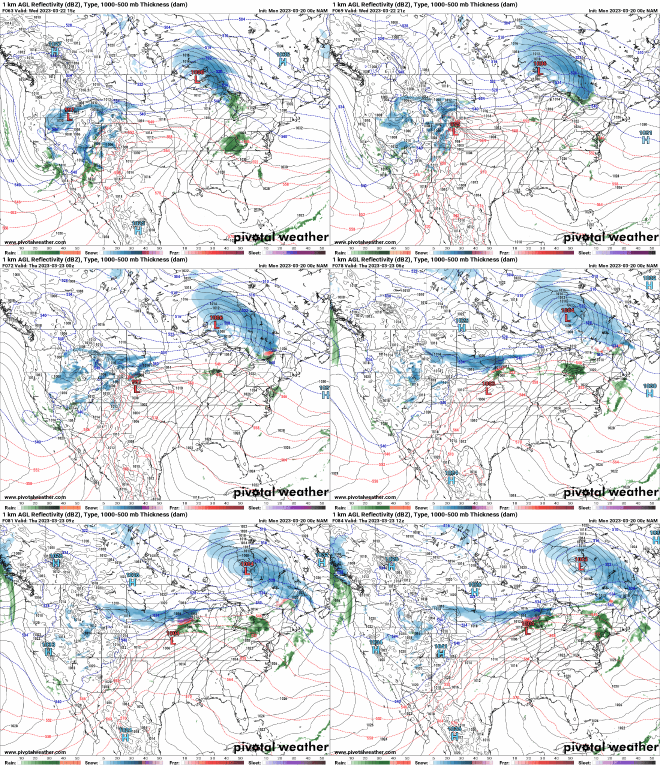
Here’s a look at potential snowfall with the varying tracks among the models:

Overall, temperatures this week will be warmer than last week but remain a little below normal.