
Clouds, snow showers north, sunshine south Thursday; warmer weekend
Temperatures will climb above normal Saturday into next week

Go Deeper.
Create an account or log in to save stories.
Like this?
Thanks for liking this story! We have added it to a list of your favorite stories.


Snow showers linger in northeast Minnesota Thursday with cold air lingering statewide. Southern Minnesota will see sun while clouds hang on north. Temperatures begin a rapid warmup Friday into the weekend.
Cold air lingers Thursday; snow showers northeast
Clouds will linger across northern Minnesota Thursday as moisture and very cold air aloft continue to sit across the region.
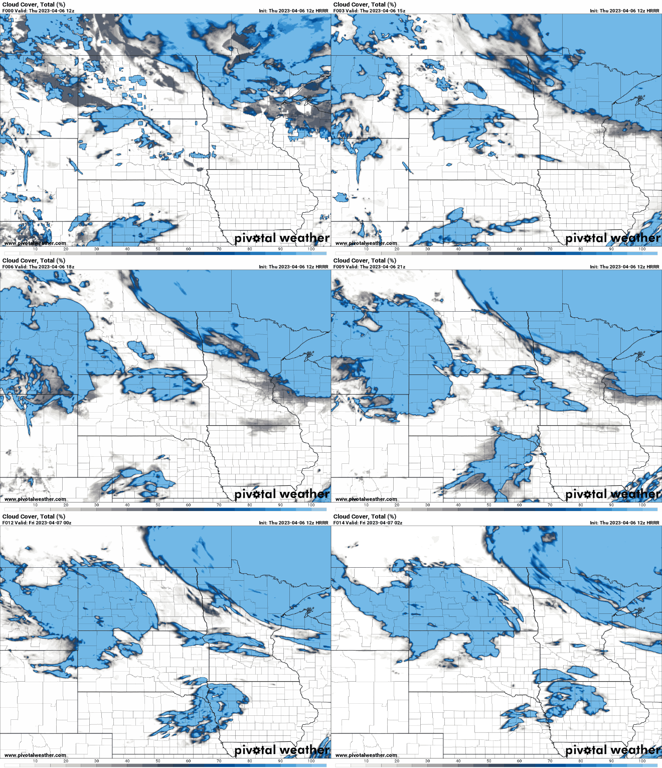
There will be continued scattered snow showers persisting with some minor additional accumulations.

Temperatures will be well below normal with highs near 40 along the Minnesota-Iowa border to 20s in the north. Overnight, under clear skies, it will be a cold night with lows in the single digits in northern Minnesota.
Turn Up Your Support
MPR News helps you turn down the noise and build shared understanding. Turn up your support for this public resource and keep trusted journalism accessible to all.

Rapid warmup, pattern change ahead
Friday will see temperatures jump to near 50 in southern Minnesota with sunshine statewide.

Temperatures Saturday will be even warmer, close to 60 in southern Minnesota with 40s and 50s north.

We’re going to see a major change in the upper-level pattern that will be conducive to much warmer weather and an overall drier pattern.
The upper-level flow of air and jet stream will lift north from where it’s been much of the last six weeks. This will allow for persistent above-normal temperatures.

The shift of the jet stream north will also push the most active storm pattern north for the time being also. Most of the significant precipitation over the next seven to 10 days will be north and south of Minnesota.

We do have a couple of minor systems bringing some showers Friday night and late Sunday to parts of Minnesota.
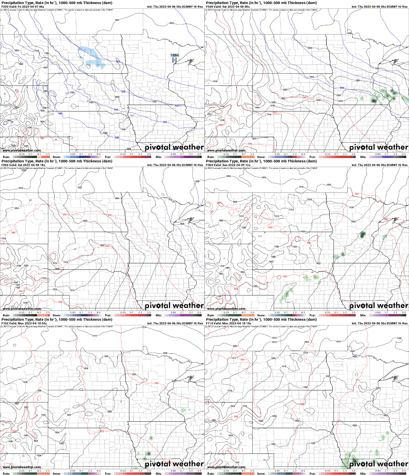
Precipitation amounts Friday night will be relatively minor, however.

By Tuesday and Wednesday we’ll likely see highs in the 70s across southern Minnesota.


