
Mild overnight with upward temperature trend continuing; showers late week
The first 70s and even 80 are coming for some in the next few days

Go Deeper.
Create an account or log in to save stories.
Like this?
Thanks for liking this story! We have added it to a list of your favorite stories.


We’ll have a mild overnight with skies clearing back out. Monday will be sunny with light winds and a warm day. Temperatures continue upward to a peak of 70s and 80s for some Wednesday. Showers develop by Thursday north, spreading south Friday potentially.
Warming trend continues
An upper level disturbance creating clouds and some scattered showers Sunday will continue to track east. Skies will clear out Sunday evening into the overnight. Temps will dip into the 40s south to just below freezing north.
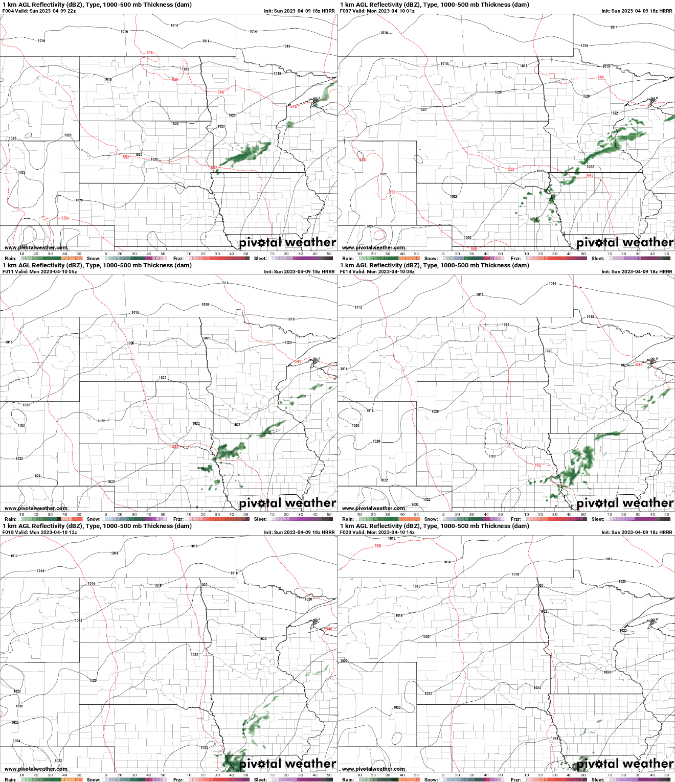
Look for sunny skies and a warm day Monday with light winds. Highs will range from the 50s north to near 70 south.

Temps will be even warmer Tuesday with widespread 70s for central and southern Minnesota. The peak of our ‘heat’ will come Wednesday with highs in the 80s for much of southern Minnesota, coming more than two and a half weeks earlier than normal.

Slow moving late week system
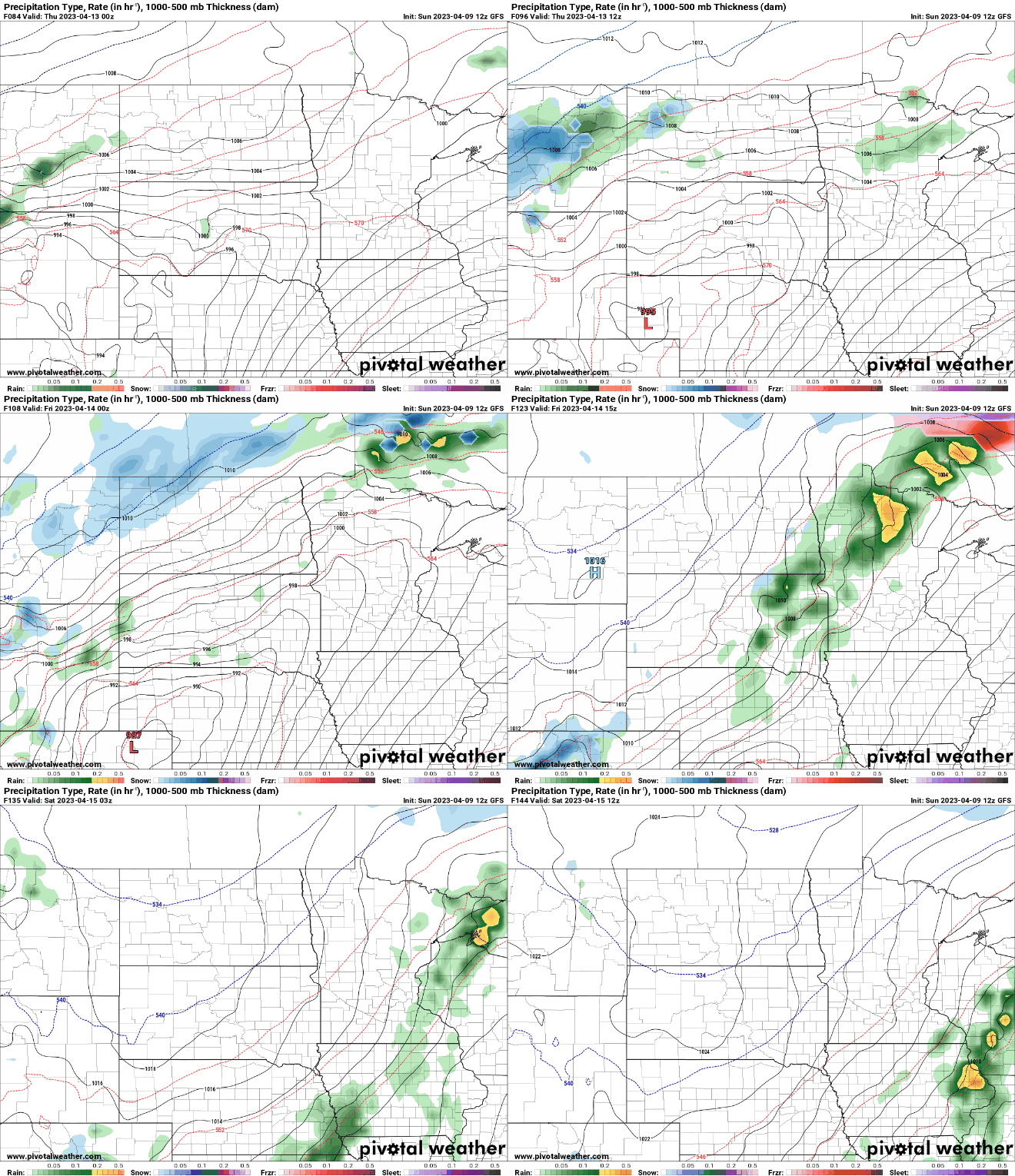
An area of rain showers will develop for northern Minnesota Thursday and spread south and east Friday into Saturday. The rain could mix with snow even in northern Minnesota, especially Friday night.
Turn Up Your Support
MPR News helps you turn down the noise and build shared understanding. Turn up your support for this public resource and keep trusted journalism accessible to all.

