
Near-record warmth, then a potential late-week soaking
Temps 15-30 degrees above normal through Thursday

Go Deeper.
Create an account or log in to save stories.
Like this?
Thanks for liking this story! We have added it to a list of your favorite stories.


Expect several very warm days ahead with near-record temperatures. Highs on Monday will range from near 70 in southern Minnesota to the upper 40s in the northwest. Southern Minnesota soars into the 80s Wednesday. A late week storm brings rain and snow.
Near-record warmth ahead
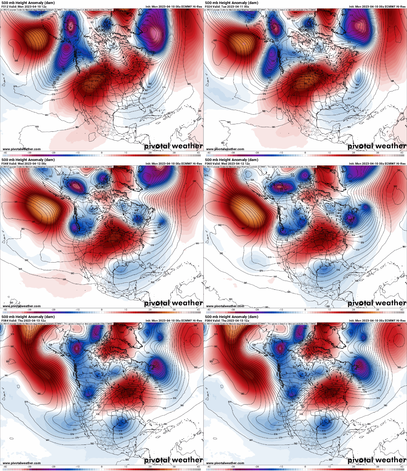
A major upper-level ridge is pushing into the central United States, creating temperatures well above normal and even record setting.
Highs Monday will range from the low 70s in southern Minnesota to the upper 40s in far northwestern Minnesota.

Tuesday will see temperatures warm up well into the 70s across central and southern Minnesota with some colder pockets in northwestern Minnesota and along the North Shore.
Turn Up Your Support
MPR News helps you turn down the noise and build shared understanding. Turn up your support for this public resource and keep trusted journalism accessible to all.

Wednesday will be the peak of our warmth with highs soaring into the 80s in southern Minnesota. The record high for the Twin Cities is 83 set in 1931 and the region will be very close to it.

The Twin Cities region is quickly plowing through seasonal firsts. Last Sunday brought the first 50 in the Twin Cities, which was about a month later than normal. The first 60 arrived Saturday, more than two weeks late, but the first 70 will arrive nearly on time and the first 80 would be two and a half weeks earlier than normal.

On the right hand side of the above table, I show how these first dates have changed since the first half of the historical record. In particular, the 90s are arriving significantly earlier than they used to with the other thresholds coming about a week earlier.
Significant moisture late week combined with rising rivers
The significant uptick in temperatures is rapidly melting the snow pack. Look at the difference between a week ago and yesterday’s snow cover:

This is before we’ve seen the real warmth coming this week. Rivers will be rising rapidly with the Mississippi River at St. Paul and at Hastings expected to rise 8 feet by Saturday. The St. Croix River at Stillwater is expected to rise 10 feet and likely reach flood stage by the weekend.
Adding insult to injury will be another big, slowly moving storm system that has the potential to drop more than 1 inch of liquid equivalent precipitation Thursday into the weekend.


