
Warm, windy Tuesday; near-record setting temps Wednesday; stormy end to the week
Temperatures will be 20 degrees above normal Tuesday

Go Deeper.
Create an account or log in to save stories.
Like this?
Thanks for liking this story! We have added it to a list of your favorite stories.


Tuesday will be another very warm day, well above normal. Winds will pick up from the south at 10-20 mph. Wednesday will bring the first 80s in southern Minnesota with precipitation developing north Thursday and statewide by Friday into the weekend.
Warmer, windy Tuesday
Tuesday will be even warmer than Monday with highs well into the 70s across central and southern Minnesota. Some places could be near 80. Northeast Minnesota will see mainly 50s and 60s with upper 40s in the northwest. Those readings are more than 20 degrees above normal for southern Minnesota.

Wednesday will be near record-breaking with highs into the 80s across the southern half of the state. The number to beat in the Twin Cities is 83. That was the record high set in 1931 on April 12.

End of week slow moving storm
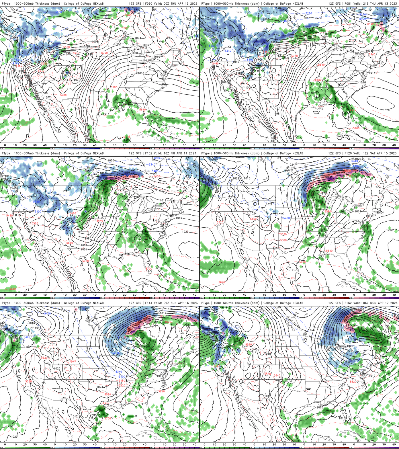
A nearly worst-case scenario develops late this week with a prolonged period of rain and even snow moving into Minnesota. That, combined with all the snow melt this week will really push our rivers up.
Rain showers will develop in northern Minnesota Thursday with that chance spreading statewide by Friday into Saturday. The rain will mix with or even turn to snow for many places late Saturday as temperatures drop.
Turn Up Your Support
MPR News helps you turn down the noise and build shared understanding. Turn up your support for this public resource and keep trusted journalism accessible to all.

