
Near record warmth Wednesday for Twin Cities; rain developing north Thursday
Continued warm and windy Wednesday through Friday for southern Minnesota

Go Deeper.
Create an account or log in to save stories.
Like this?
Thanks for liking this story! We have added it to a list of your favorite stories.


We continue to see warm weather and winds Wednesday. High temperatures for southern Minnesota will be near record levels in the mid-80s. Northern Minnesota highs will range from the 50s to 60s. Showers develop Thursday north and statewide by Friday night.
Record warm? Windy Wednesday
Low temperatures are close to record warm across southern Minnesota early Wednesday morning. In the Twin Cities, the record warm low is 60 and we’re well above that. High temperatures in southern Minnesota will be about 30 degrees above normal and near-record levels. The record high is 83 set in 1931 for the Twin Cities. It will mark the second consecutive day in the 80s.

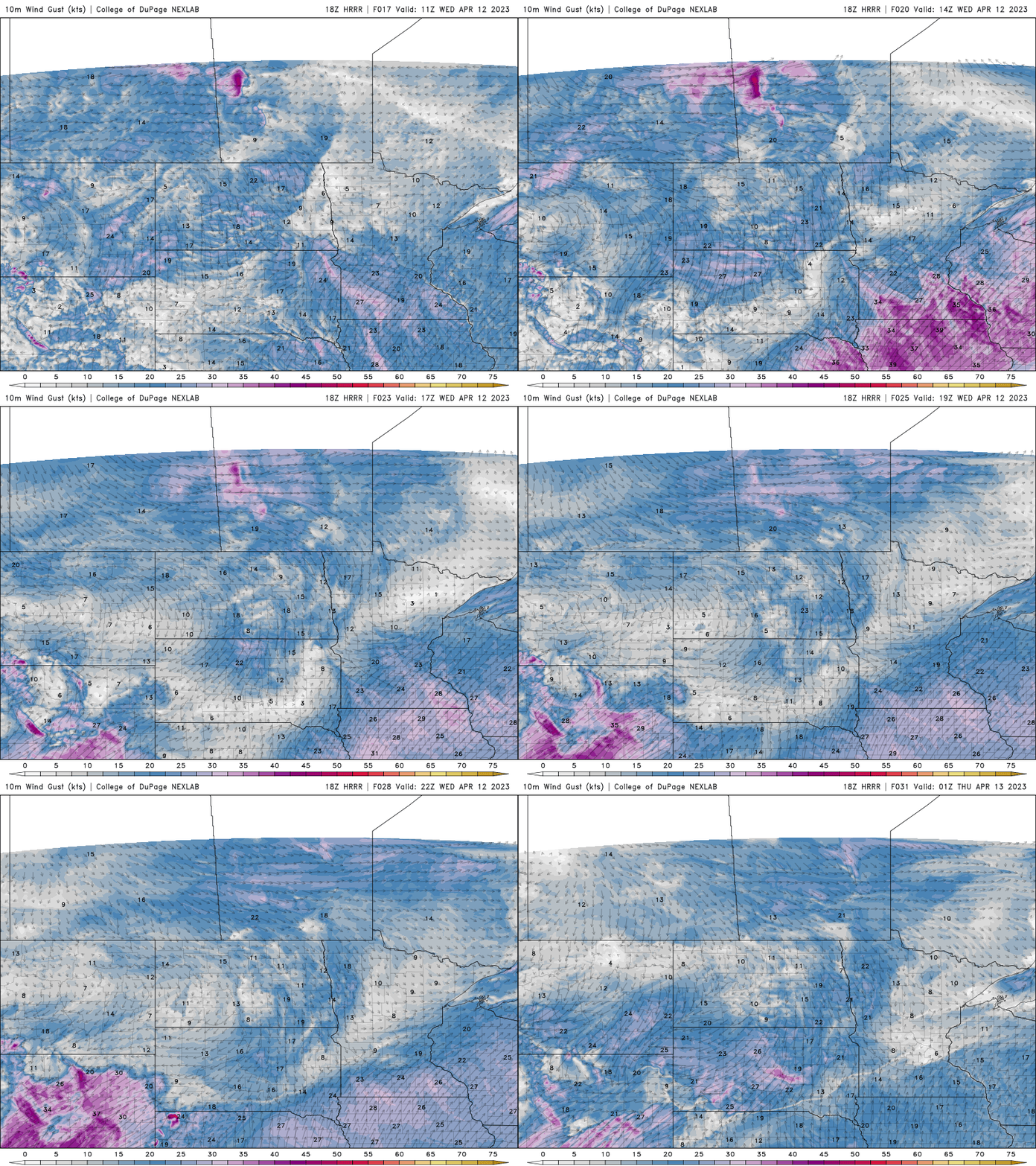
It will also be a windy day again from the southwest. Winds will be 10-25 mph with gusts as high as 30-40 mph in southwest Minnesota.
Slow moving system develops rain north Thursday and spreads east
Scattered showers will develop Thursday for northern Minnesota but not reach southern Minnesota and the Twin Cities until Friday night. We’ll continue to see some showers linger into Sunday with the possibility of snowfall even in northeast Minnesota and Wisconsin. A widespread soaking is possible.

Turn Up Your Support
MPR News helps you turn down the noise and build shared understanding. Turn up your support for this public resource and keep trusted journalism accessible to all.

