
Below normal temperatures modify some; more showers by mid to late week
60 degrees may return in southern Minnesota Thursday

Go Deeper.
Create an account or log in to save stories.
Like this?
Thanks for liking this story! We have added it to a list of your favorite stories.


Cooler than normal temperatures will modify this week to near normal by Thursday. The next storm system will be another slow moving area of showers mid to late week bringing with it the return to cooler temperatures.
Still cool but warmer by midweek
High temperatures Monday will still be cooler than normal but not as cold as the weekend. We’ll see highs range from the low 50s south to the low 40s north with a mix of clouds and sun.

A few flurries and sprinkles are possible mainly in northeast Minnesota Monday.
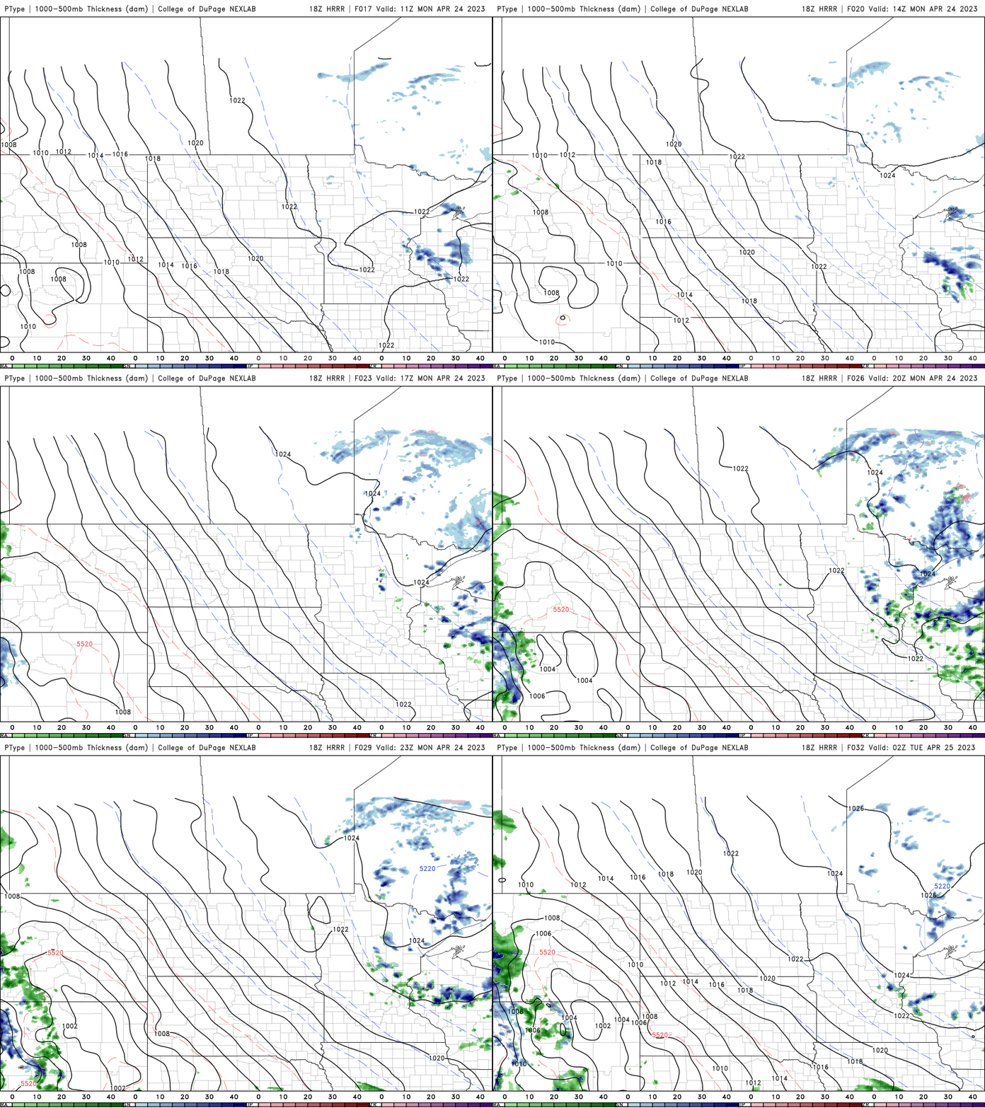
Tuesday and Wednesday should be mostly sunny with gradually warmer temperatures. Nearly statewide we should be in the 50s Wednesday with 60s returning to southern Minnesota briefly Thursday.

Yet another slow moving system brings showers, cooler temperatures
The next storm system will be another slow moving area of clouds and showers that will drop temperatures once again. The first round of showers arrives for northern Minnesota Wednesday with statewide chances by late Thursday into Saturday.
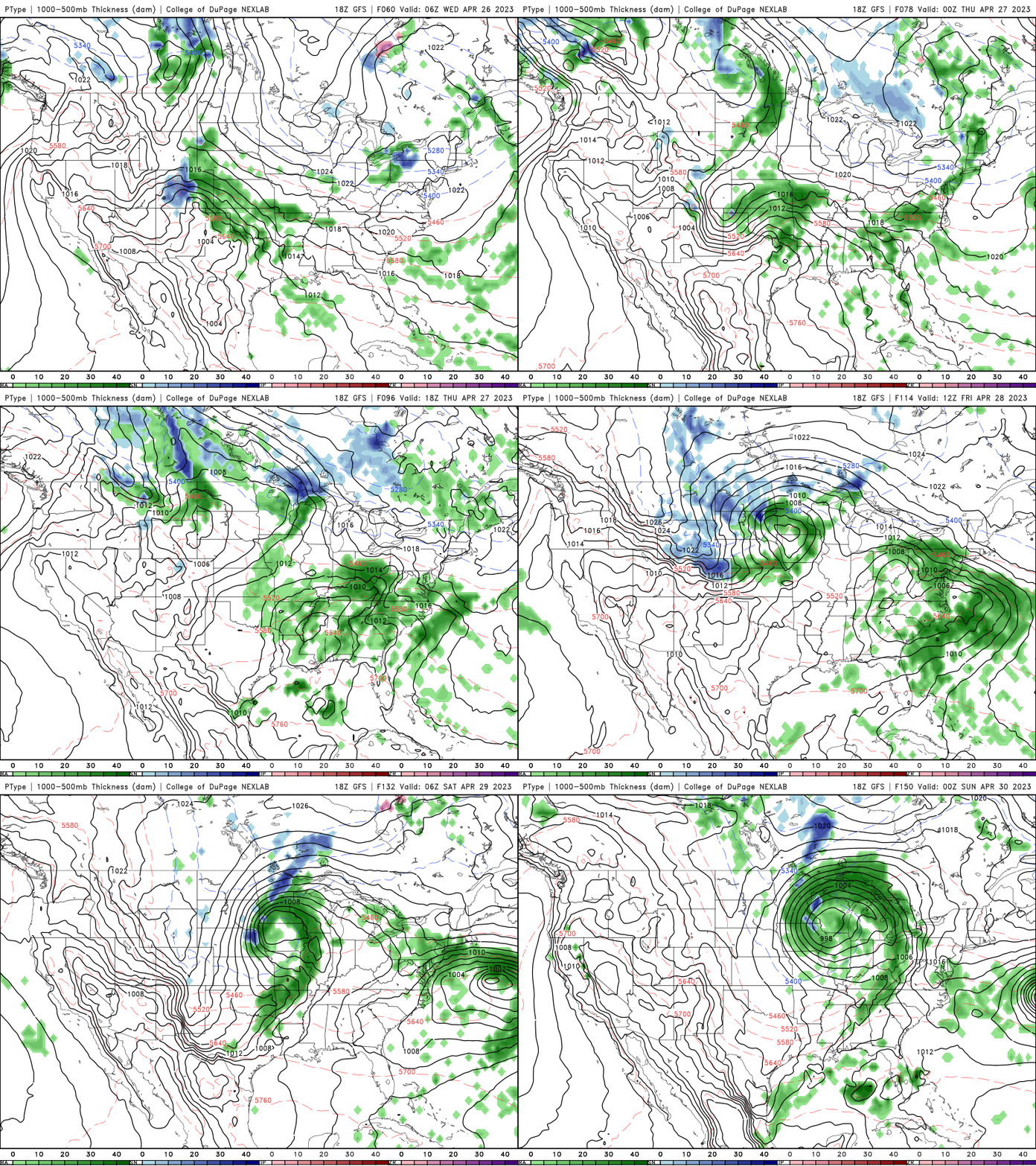
It’s even possible northern Minnesota could see some snow yet again!
Turn Up Your Support
MPR News helps you turn down the noise and build shared understanding. Turn up your support for this public resource and keep trusted journalism accessible to all.

