
Warmer with a few showers Thursday; more showers overnight into Friday, weekend
Above normal temperatures Thursday

Go Deeper.
Create an account or log in to save stories.
Like this?
Thanks for liking this story! We have added it to a list of your favorite stories.


Thursday will be our warmest day this week but it won’t be sunny. We’ll have a few showers and a mix of clouds and sun. More showers develop later into Thursday night and Friday with cooler weather setting in for the weekend.
Warmer Thursday but unsettled into the weekend
Thursday will be warmer but somewhat unsettled. We’ll see above normal temperatures with highs ranging from the mid 60s south to the 50s north.

Look for a few showers, especially later in the day and evening into the overnight. Showers will be focused along a lingering frontal boundary.
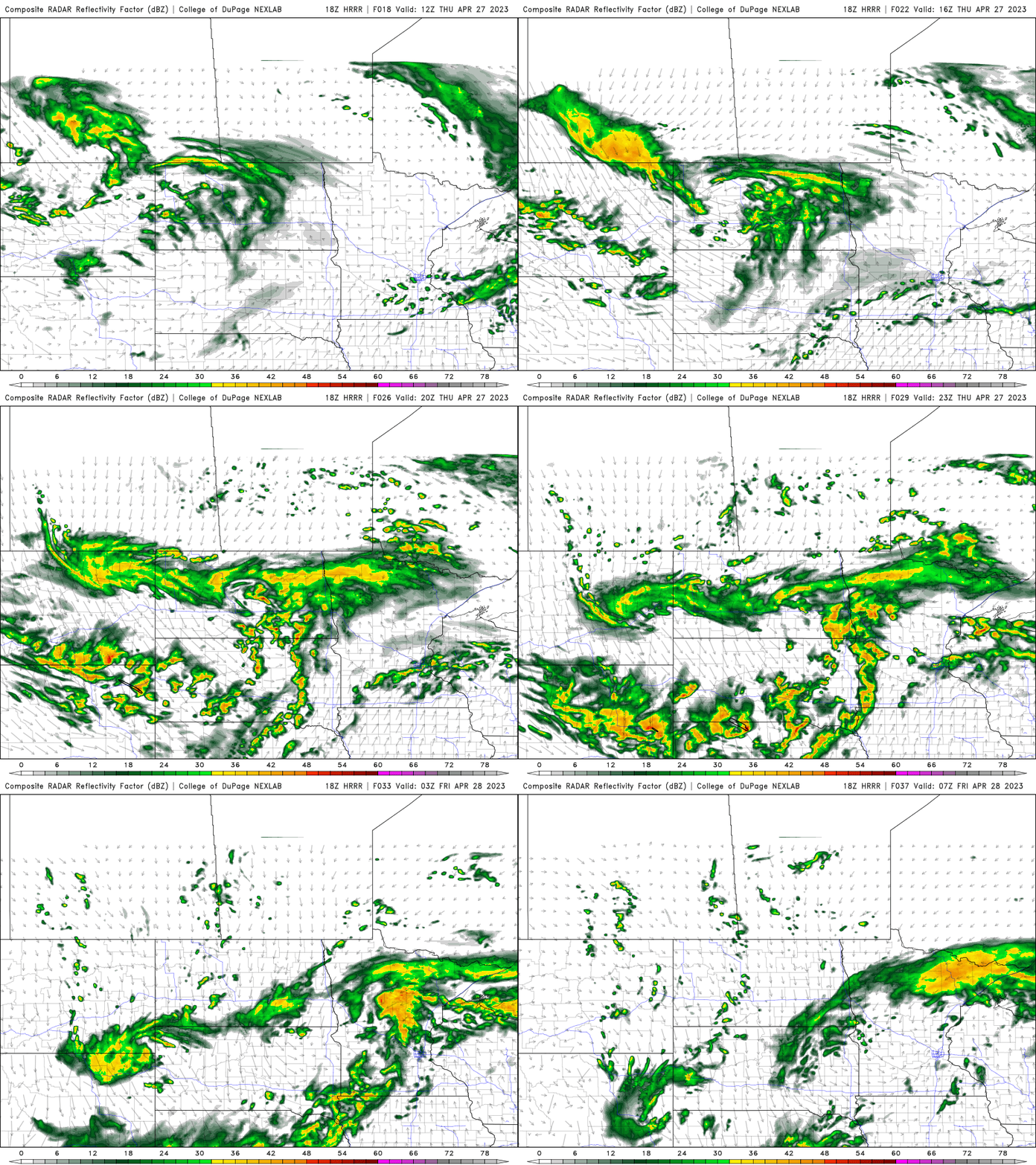
Friday will still be close to 60 in southern Minnesota but cooler air settles in as an upper low parks over Minnesota again. Expect lots of clouds and occasional showers Friday and Saturday with isolated showers still on Sunday, though mainly in northeast Minnesota.
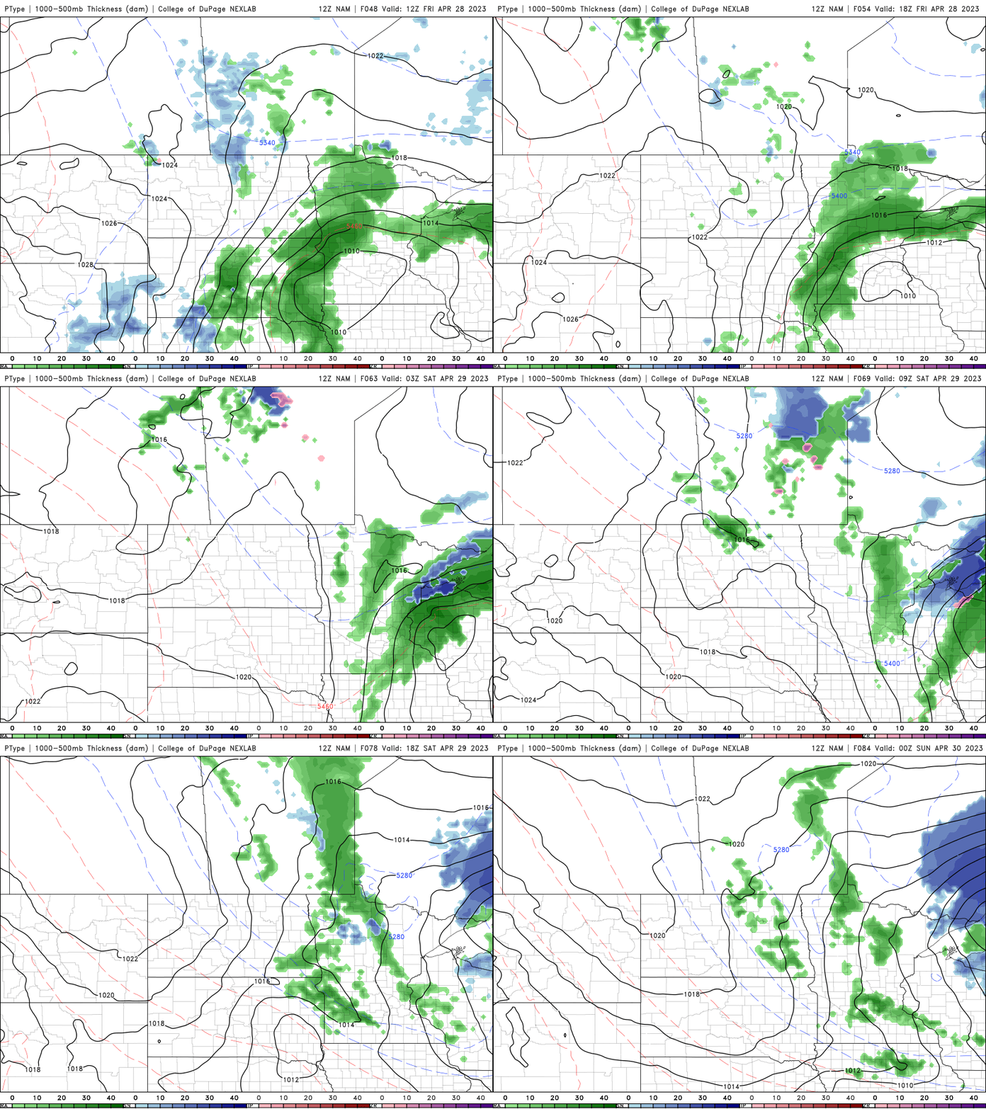
Highs this weekend will be into the low 50s across southern Minnesota and in the 40s across central and northern Minnesota.
Warmer and drier next week
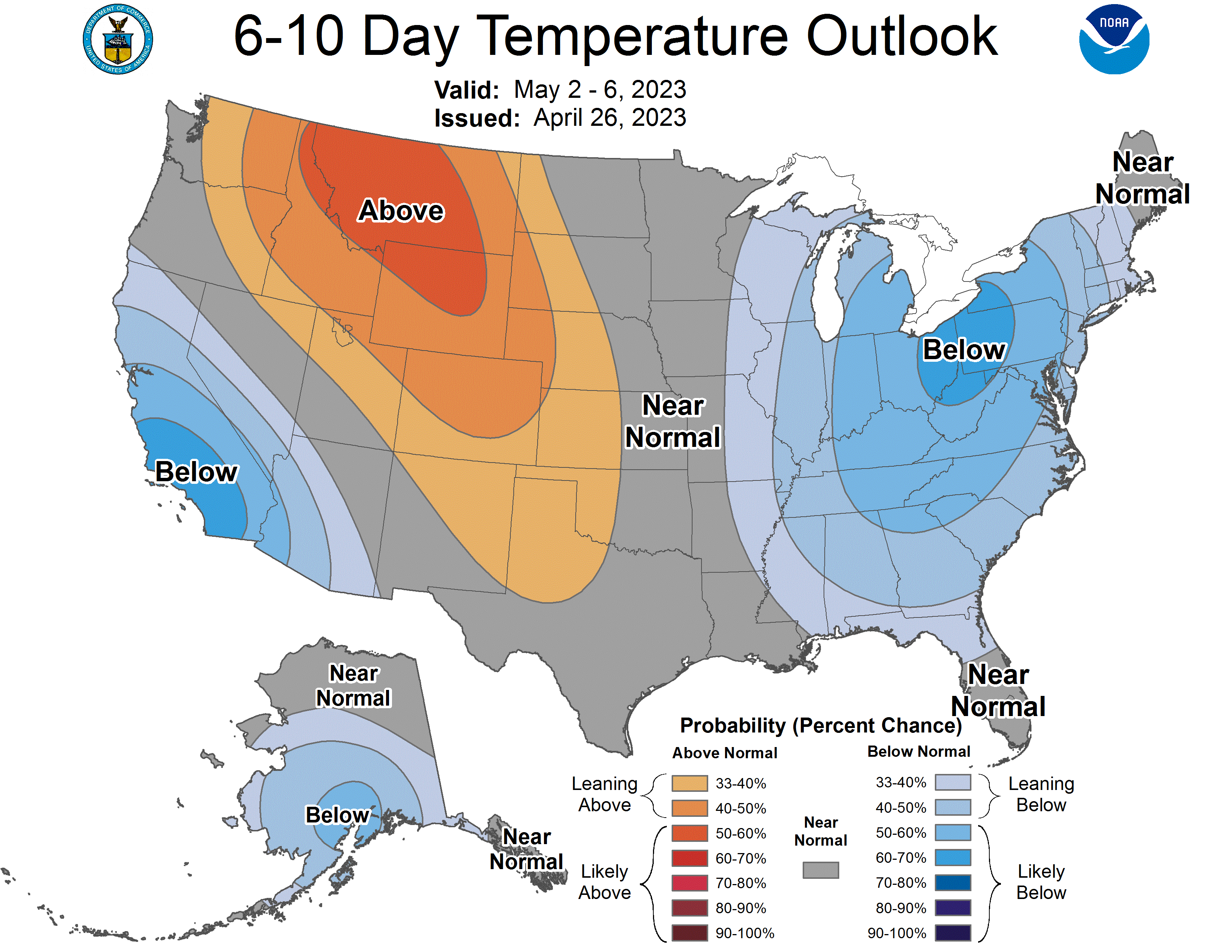
The medium range forecast looks better. We should see temperatures rebound to normal (60s and 50s) readings by midweek next week. In fact, some models push us into the 70s by either the middle or end of next week in southern Minnesota.
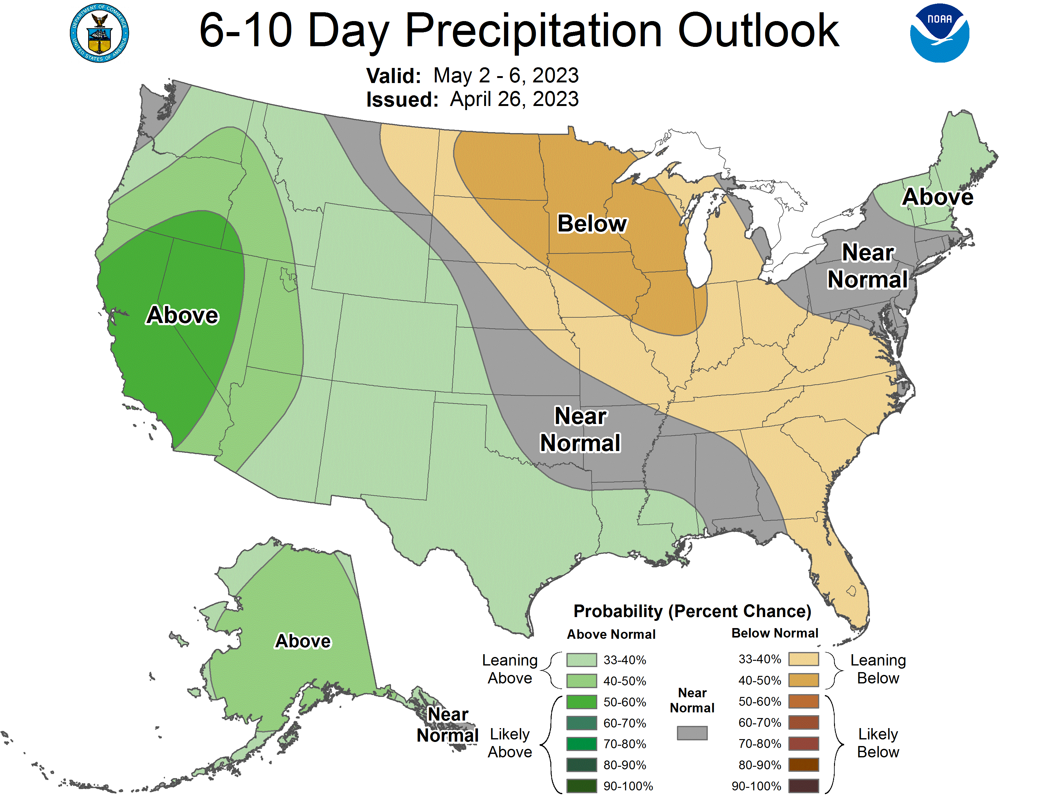
It also looks overall drier, which is welcomed news for high rivers and farmers looking to get to work in the fields.
Turn Up Your Support
MPR News helps you turn down the noise and build shared understanding. Turn up your support for this public resource and keep trusted journalism accessible to all.

