
Scattered showers, becoming cooler and windy this weekend
More rain and even snow for northeast Minnesota
Go Deeper.
Create an account or log in to save stories.
Like this?
Thanks for liking this story! We have added it to a list of your favorite stories.


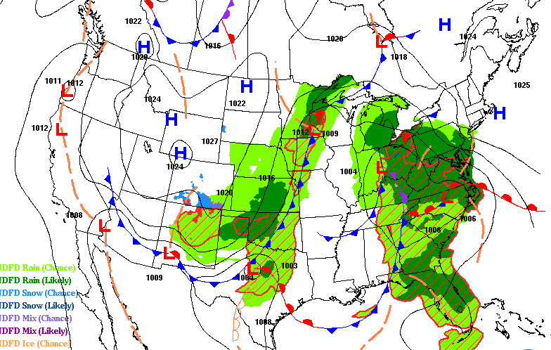
We are stuck in a cloudy, showery pattern with temperatures cooling back down this weekend. Scattered showers will persist on and off Friday with highs in the 50s mainly. It will become windy and colder Sunday.
More scattered showers Friday into Saturday
Look for more periods of scattered showers Friday and cloudy skies.
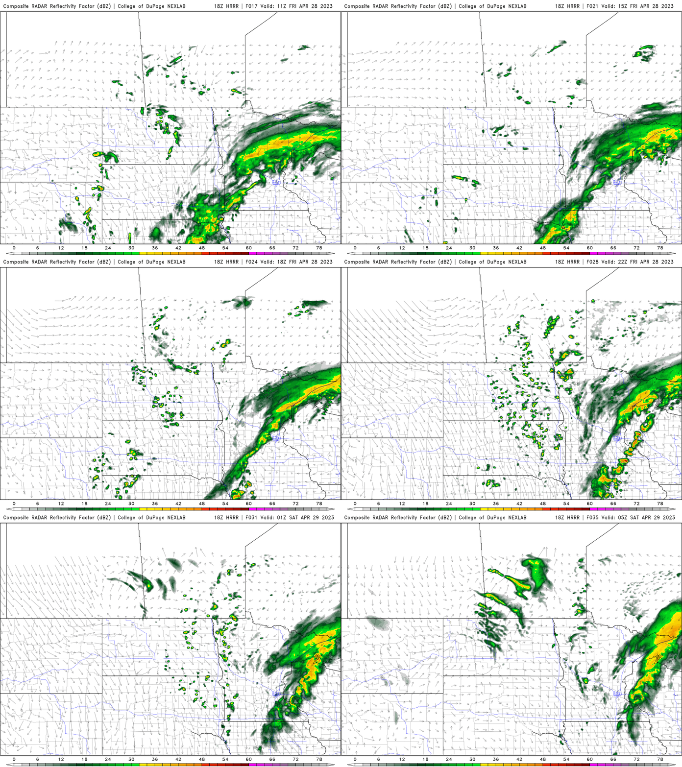
High temperatures will be in the low 50s to the 40s north and along the North Shore.
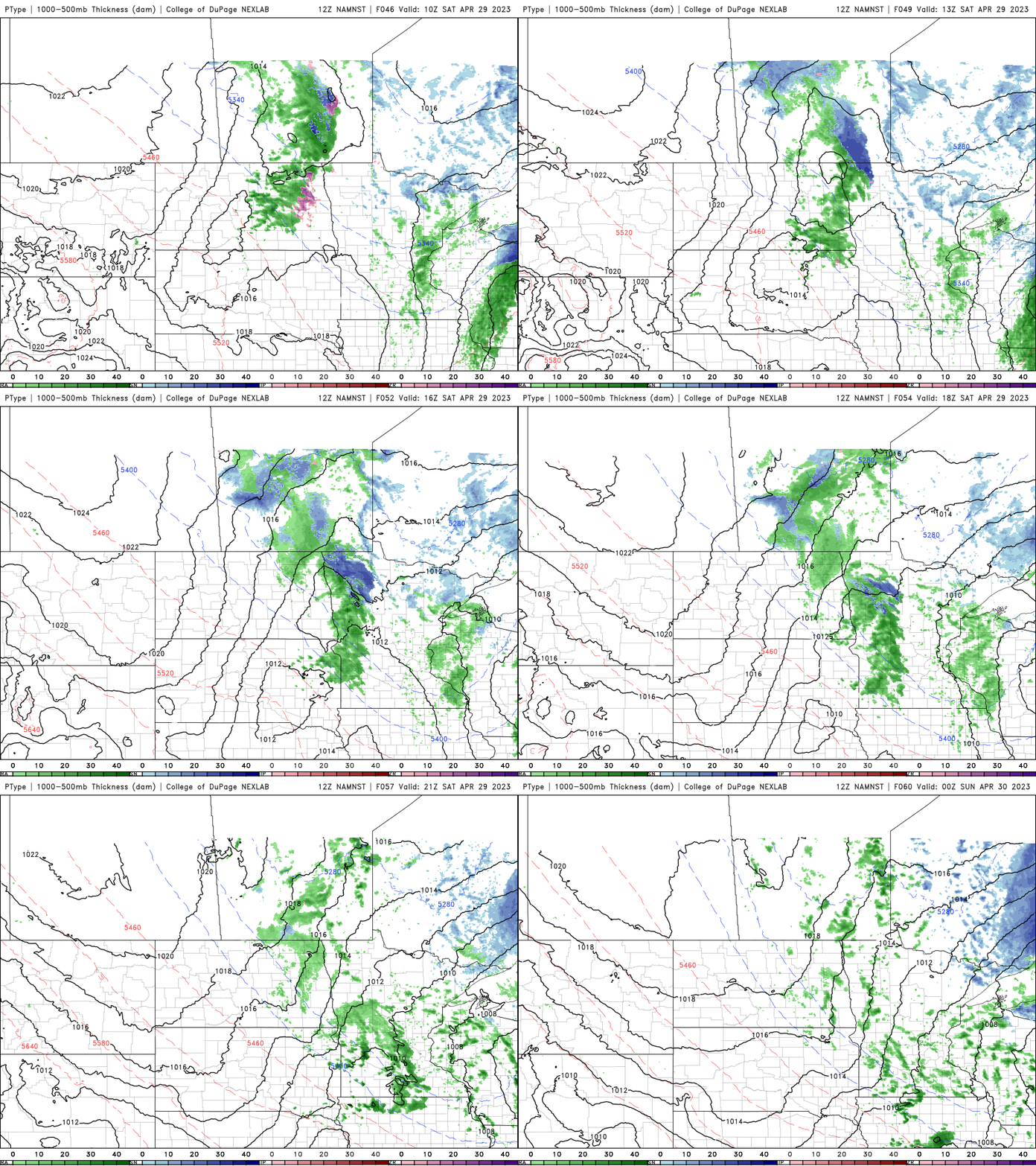
Look for another round of scattered showers to swing through from the north on Saturday as well.
Colder Sunday with high winds
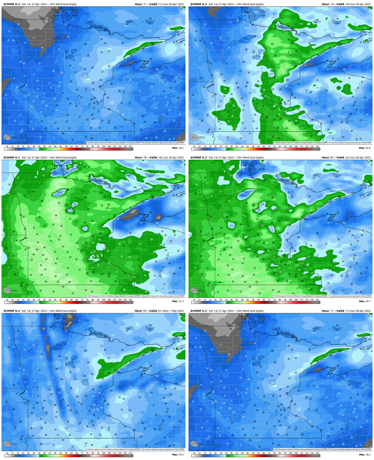
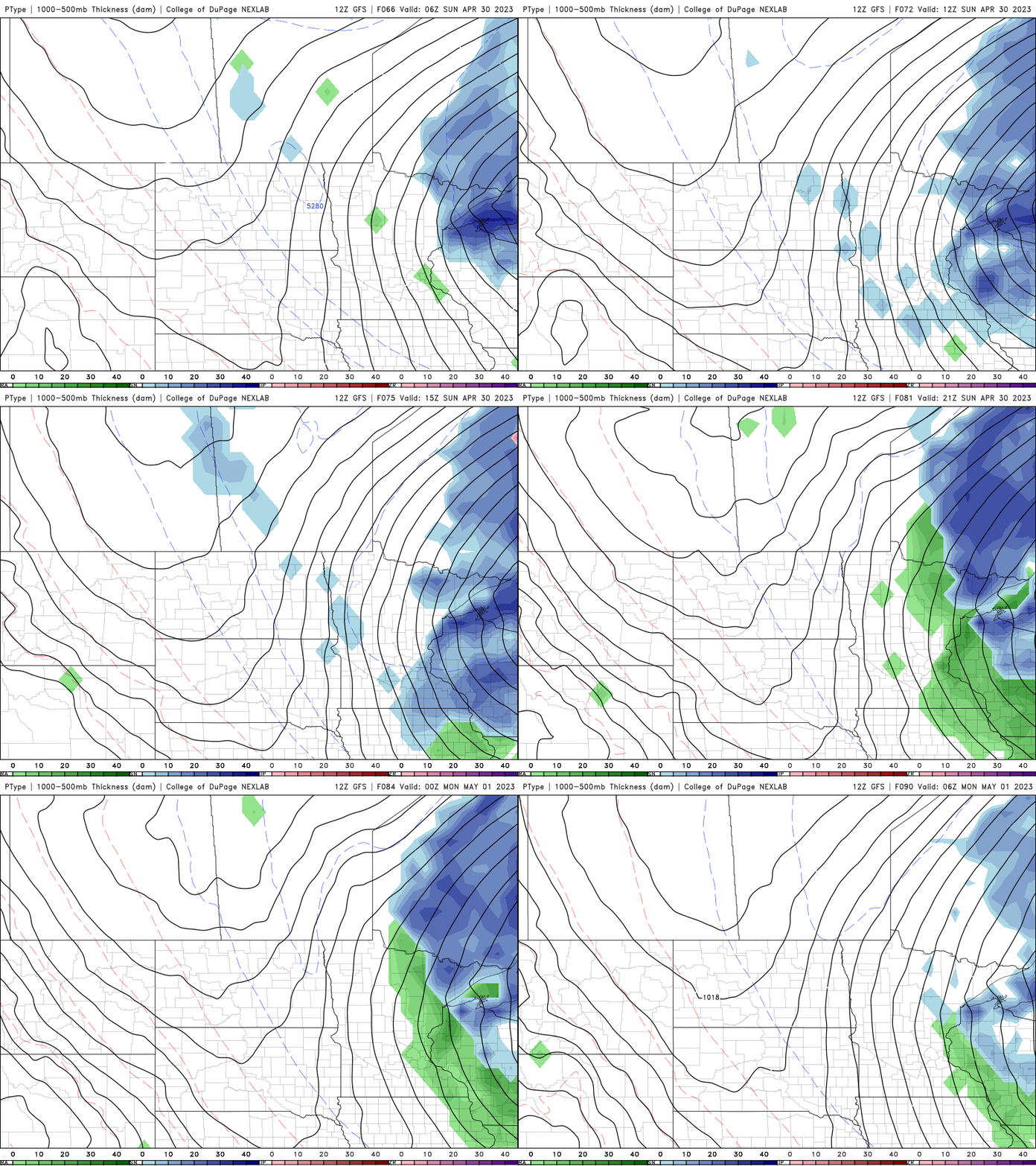
We’ll see the addition of high winds Sunday as temperatures drop. North winds of 20-30 mph, with gusts of 40-45 mph will develop.
Northeast Minnesota will see rain and snow showers with a few sprinkles reach eastern Minnesota. Most of the moisture farther south will confined to Wisconsin.
Warmer weather on track late next week
We finally look to kick this pattern midweek next week. An upper level ridge of warmth and dry weather should build in. High temperatures by late next week will be in the 60s and even 70s are possible in southern Minnesota.
Turn Up Your Support
MPR News helps you turn down the noise and build shared understanding. Turn up your support for this public resource and keep trusted journalism accessible to all.

