
Warm and unsettled week with more rain, thunder chances
Temperatures will average 5 to 10 degrees above normal most of the week

Go Deeper.
Create an account or log in to save stories.
Like this?
Thanks for liking this story! We have added it to a list of your favorite stories.


Temperatures will be rather June-like and above normal this week. While it will be dry most of the time, there’s the chance of showers and thunder almost every day somewhere in the state as we remain unsettled this week.
Warmer than normal but unsettled yet this week
Temperatures will be slightly above normal Monday, ranging from the 50s to near 60 in northern Minnesota to the low 70s in southern Minnesota. It will be cooler near Lake Superior, mainly in the 40s and low 50s.

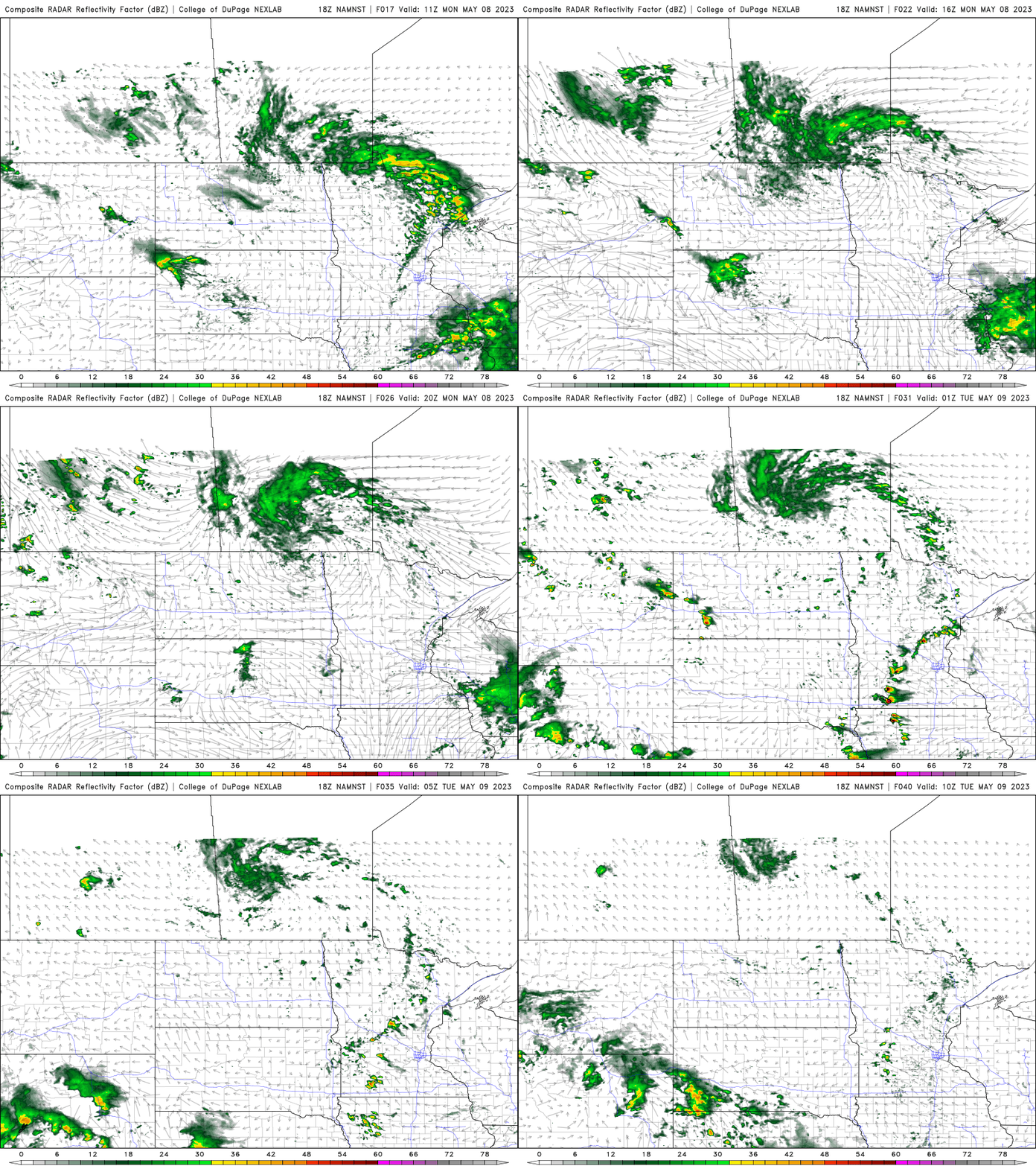
We’ll continue to see somewhat unsettled conditions Monday with scattered showers in northeast Minnesota and isolated showers or thunder elsewhere, especially later in the day into Monday night.
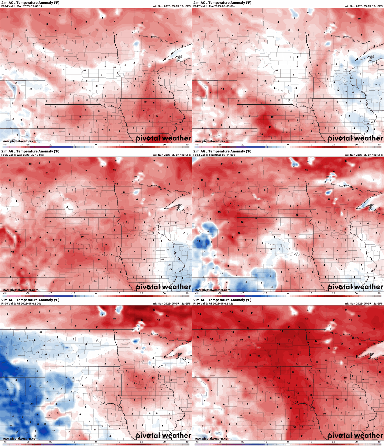
Temperatures will remain above normal throughout the week by at least 5 to 10 degrees.
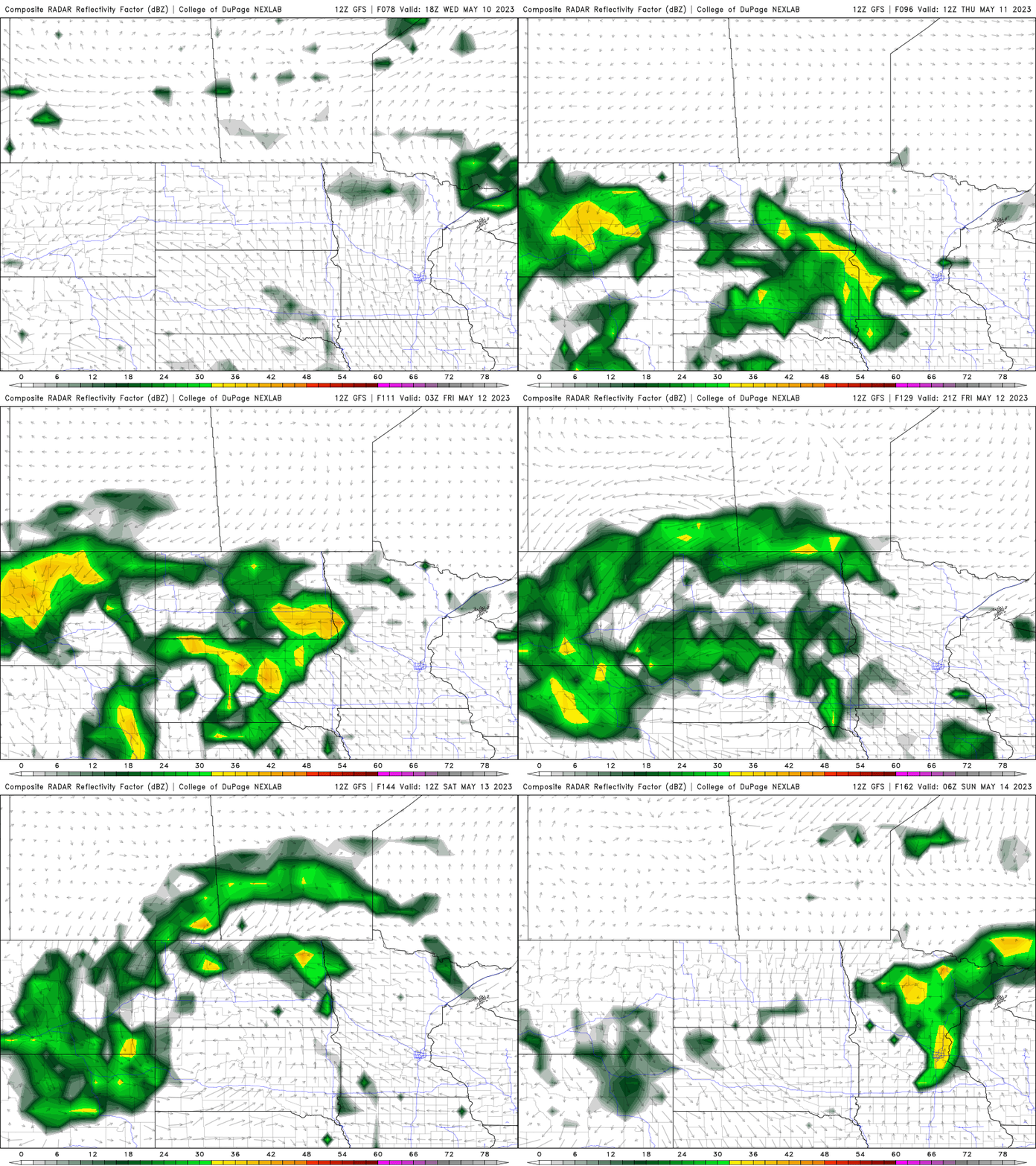
Within the upper level ridge, creating the warmth across the central U.S., we’ll continue to see disturbances break through like the last several days creating the occasional chance for more showers and thunder. Isolated showers and thunder is possible almost each day this week somewhere in the state. The next best chance of more widespread moisture will develop Thursday into Friday and Saturday.
Turn Up Your Support
MPR News helps you turn down the noise and build shared understanding. Turn up your support for this public resource and keep trusted journalism accessible to all.

