
Afternoon, evening showers Tuesday; thunderstorm possible
70s south by Wednesday

Go Deeper.
Create an account or log in to save stories.
Like this?
Thanks for liking this story! We have added it to a list of your favorite stories.


We’ll see a mix of clouds and sun Tuesday with another round of possible scattered showers later in the afternoon, evening and overnight. Wednesday will be mostly dry south with showers and storms possible in northern Minnesota.
Rain and hail over the past 24 hours
We had several hail reports in southern Minnesota and western Wisconsin thunderstorms Tuesday evening. Most of it was just under severe criteria, though hail near Hammond, Wis., did reach the 1-inch severe threshold.

There were also isolated pockets of very heavy rainfall. A swath of more than 1 inch of rain fell in parts of south-central and southeastern Minnesota and a narrow area west of and through Moose Lake that prompted a flash flood warning earlier.

Scattered showers, some thunder later Tuesday
A cluster of clouds and showers in South Dakota early Tuesday is making its way east.
Turn Up Your Support
MPR News helps you turn down the noise and build shared understanding. Turn up your support for this public resource and keep trusted journalism accessible to all.
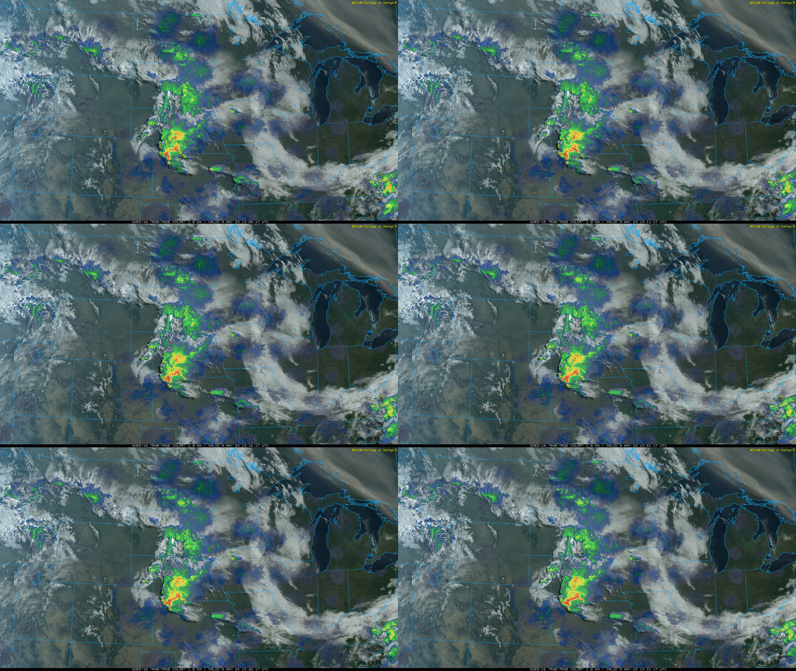
Whatever holds together from the activity to the west will reach southwestern Minnesota through the afternoon and potentially the Twin Cities area and central Minnesota by the late afternoon and evening hours. It will then track north into northern Minnesota through the overnight with lingering showers into Wednesday morning there.
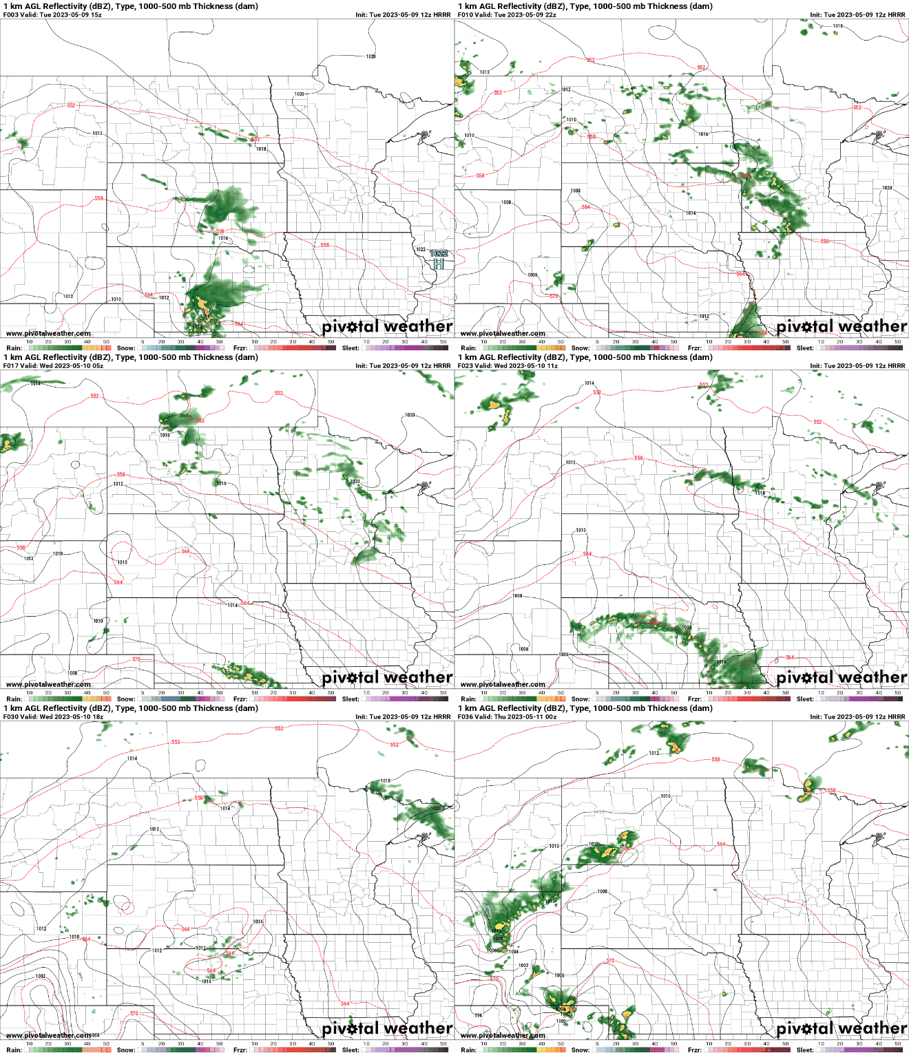
Portions of central Minnesota could see up to one-half inch or more of rainfall over the next 24 hours.
High temperatures Tuesday will be well into the 70s for much of central and southern Minnesota with 60s to the north under a mix of clouds and sun.

Wednesday will be even warmer with highs approaching 80 in southern Minnesota.

There will still be the possibility of showers and some thunder in northern and western Minnesota with more isolated activity possible farther east and southeast.

We’re likely in for a wetter stretch with more widespread scattered showers and thunderstorms occasionally Thursday into Saturday night. Mother’s Day looks to be mainly dry by afternoon at this point.


