
Occasional showers and thunder through early Sunday, then clearing
Sunny, dry weather sets in late Sunday into midweek next week

Go Deeper.
Create an account or log in to save stories.
Like this?
Thanks for liking this story! We have added it to a list of your favorite stories.


Look for occasional areas of scattered showers and some thunder Friday. We’ll especially see this activity pick up in western and southern Minnesota Friday night into Saturday night. Skies will clear northwest to southeast Sunday.
Bands of showers and thunder moving through into early Sunday
Occasional scattered bands of showers and some thunderstorms will be with us into early Saturday, especially for southern and western Minnesota.
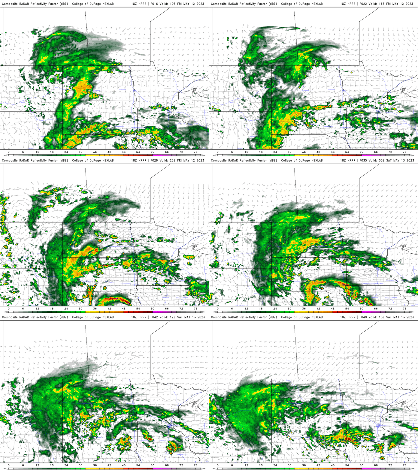
Highs Friday will still be into the 70s though some areas that get more rain and more cloud cover may stay in the 60s.

The moisture is rotating around an upper level low that will track toward Minnesota but then duck east just south of us. This means northern Minnesota will see less rainfall than southern Minnesota and will be the first to clear out as the system exits Sunday.
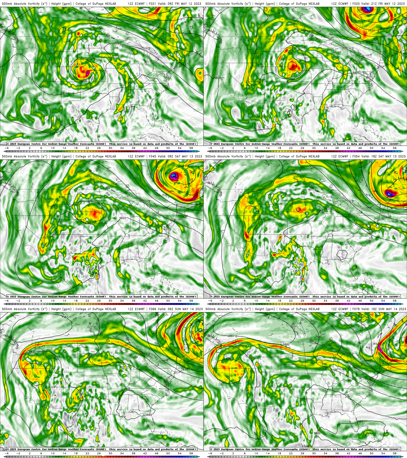
Mother’s Day will be cooler but skies will clear from northwest to southeast with lingering showers into southeast Minnesota. The Twin Cities should be dry for the afternoon.

We’re in for a string of sunny, warm and mainly dry days Monday through Wednesday.
Turn Up Your Support
MPR News helps you turn down the noise and build shared understanding. Turn up your support for this public resource and keep trusted journalism accessible to all.

