
Air quality alerts central and north; warm sunshine Tuesday; showers possible Thursday
Highs will be in the 70s and low 80s Tuesday

Go Deeper.
Create an account or log in to save stories.
Like this?
Thanks for liking this story! We have added it to a list of your favorite stories.


Portions of northern and central Minnesota have air quality alerts Tuesday. Highs will be well into the 70s with low 80s for much of central Minnesota. Showers are possible Thursday.
Poor air quality; more sun and dry through Wednesday
Wildfire smoke from Canada has drifted into northern and central Minnesota prompting air quality alerts through much of Tuesday. The Air Quality Index is expected to exceed 100 in some places, which is unhealthy for sensitive groups.
We’ll see even warmer temperatures Tuesday for a large swath of central Minnesota. The Twin Cities to St. Cloud, Brainerd and Alexandria should all see highs in the low 80s. Those readings are above normal for mid May. There’s the slightest chance of an isolated shower late in the day in southeast Minnesota as a “back door” cold front moves east to west.

Wednesday will be warm and continue to be dry, but we’ll start to see a few more clouds. Highs will mostly be in the 70s with low 80s in western Minnesota.
Turn Up Your Support
MPR News helps you turn down the noise and build shared understanding. Turn up your support for this public resource and keep trusted journalism accessible to all.
Some showers possible Wednesday night into Thursday and Friday
Our next system will bring the chance of showers and thunder Thursday with lingering instability Friday.
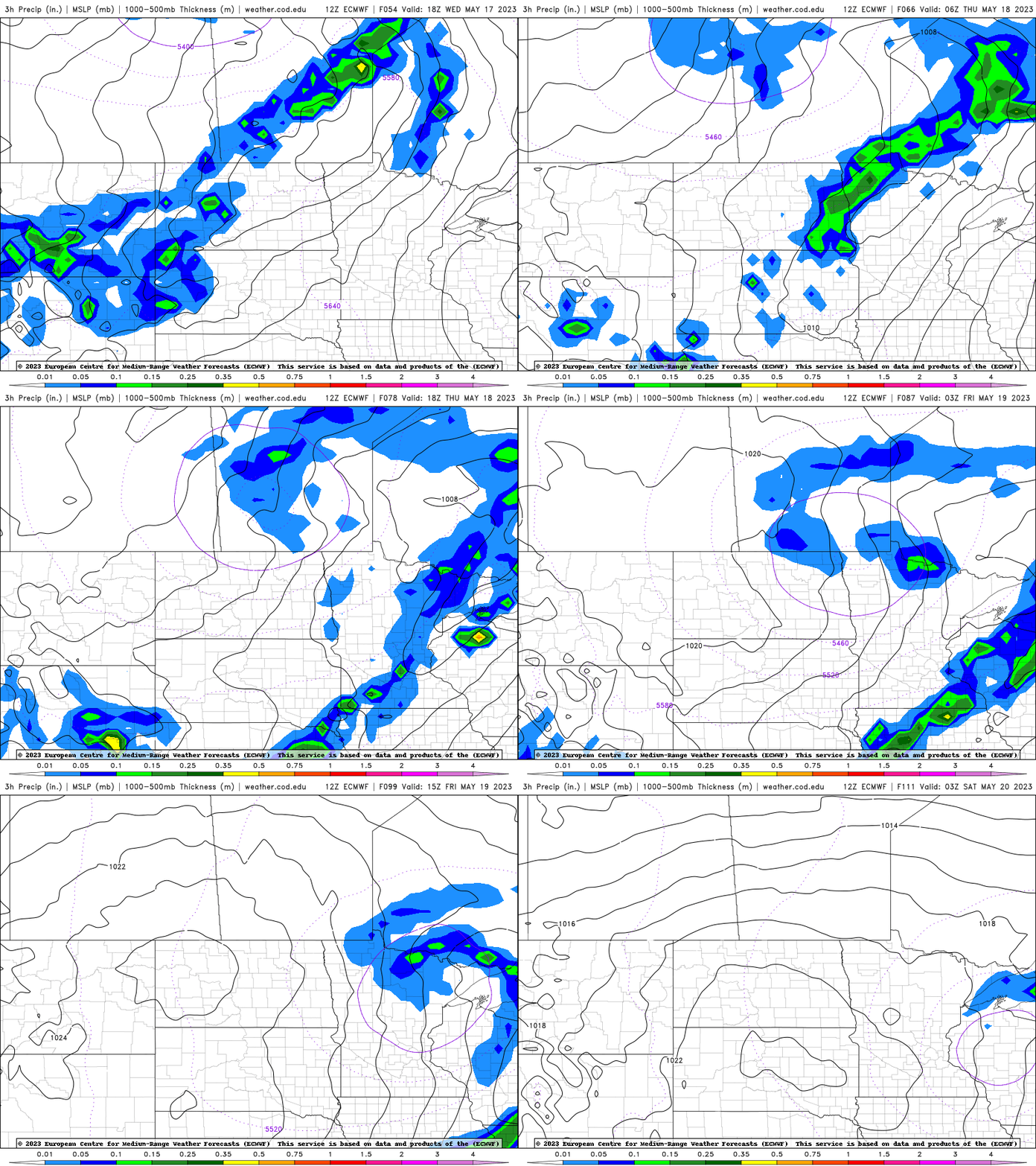
Temps will drop a bit behind the associated cold front, into the 60s mainly Friday.

We’re still looking at a gorgeous weekend with sunshine and highs in the 60s and 70s.

