
Quiet and pleasant weekend weather
Dry weather is on tap
Go Deeper.
Create an account or log in to save stories.
Like this?
Thanks for liking this story! We have added it to a list of your favorite stories.


We aren’t talking about rain or snow or strong winds this weekend. Nice weather is on tap.
Saturday morning lows are in the 30s to lower 40s across much of Minnesota and western Wisconsin. Those temps recover nicely Saturday afternoon, reaching the lower 70s in most locations:

Twin Cities metro area highs will be slightly above the average May 20 Twin Cities high of 71.
Forecast lows late Saturday night/early Sunday are mainly in the 40s:
Turn Up Your Support
MPR News helps you turn down the noise and build shared understanding. Turn up your support for this public resource and keep trusted journalism accessible to all.

Parts of the metro area wll see lower 50s.
Sunday highs will be well into the 70s in most locations:

Highs in the 60s are expected near Lake Superior, as gusty east-northeasterly winds develop Sunday afternoon.
Dry weekend
Most of Minnesota and western Wisconsin will have a dry weekend, thanks to a nearby high-pressure system.
The National Oceanic and Atmospheric Administration’s North American Mesoscale (NAM) forecast model shows the potential rain pattern from 9 a.m. Saturday to 9 p.m. Sunday:
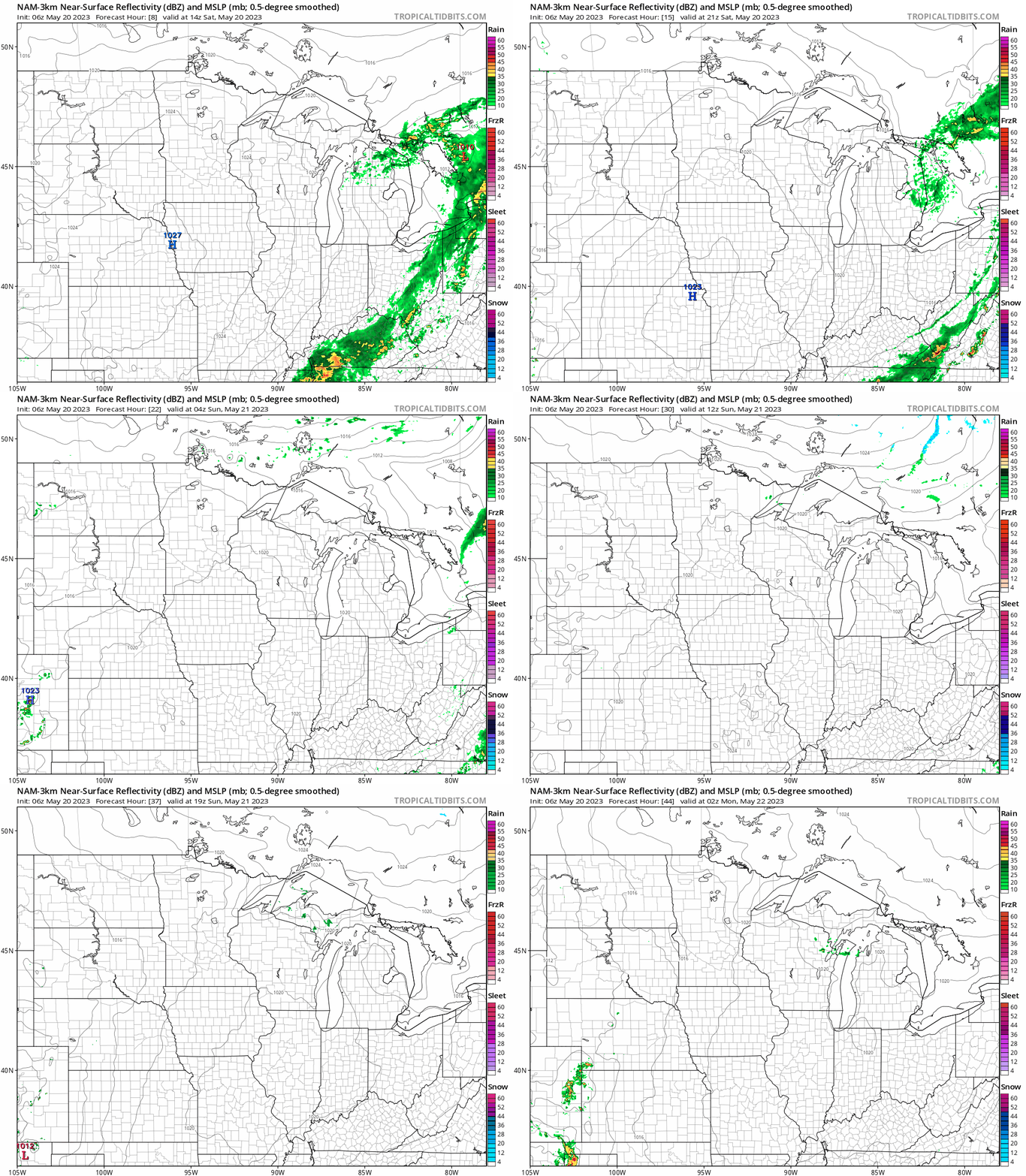
The NAM model indicates the potential for an isolated shower late Sunday afternoon in northeastern Minnesota, but other models keep all areas of Minnesota dry.
Most locations will see plenty of sunshine this weekend, but there will probably be some smoke aloft at times, originating from Canadian wildfires.
Programming note
You can hear my live weather updates on MPR News at 7:35 a.m., 9:35 a.m. and 4:39 p.m. each Saturday and Sunday.

