
Temps climb again; thunderstorm possible to end the week
Weekend rains were hit and miss

Go Deeper.
Create an account or log in to save stories.
Like this?
Thanks for liking this story! We have added it to a list of your favorite stories.


Temperatures will once again be climbing above normal this week. Saturday rainfall was hit and miss but we have another chance late this week of some thunderstorms.
Weekend rains, cool temps
Weekend rainfall was boom or bust for most. A heavy swath of rain developed from Minneapolis through St. Paul into the southeastern suburbs where a maximum of 4.17 inches fell in Hastings.

There was also a bull’s-eye of rainfall in southern Renville County around Morton and Franklin of about 3 inches.

Unfortunately, most of the significant rainfall fell mainly south of the latest drought area in east-central Minnesota.
Turn Up Your Support
MPR News helps you turn down the noise and build shared understanding. Turn up your support for this public resource and keep trusted journalism accessible to all.

Behind that front temperatures were the coolest in more than three weeks. Minneapolis-St. Paul International Airport dipped to 50 early Sunday. There were widespread 30s across northeastern Minnesota — Embarrass saw a frosty reading of 32 degrees!

Heating up; late week thunderstorm possible
High temperatures Monday will be back to near-normal readings or even above for northwestern Minnesota with plenty of sun.

We’ll see a few clouds fill in for eastern Minnesota with even the chance of an isolated shower in southeastern Minnesota and western Wisconsin on the western edge of the cool pool of air we had over the weekend which is moving east.

Things continue to heat up with mid 80s Tuesday and highs in the upper 80s to near 90 in western and southern Minnesota Wednesday and Thursday.

We won’t see the muggy air just yet with those temperatures, however. Dew points will be in the more comfortable 50s midweek.

The next chance of some spotty showers and thunder will move into western Minnesota late Thursday with the chance spreading east into Friday.
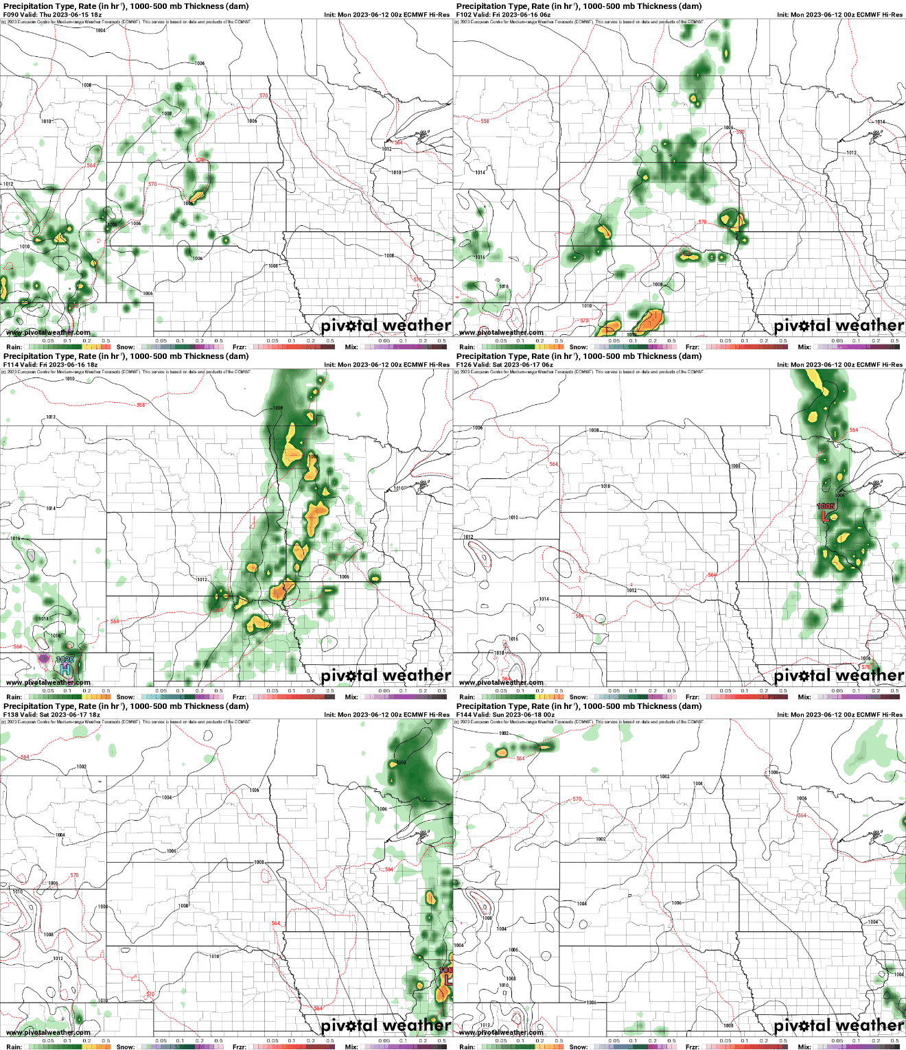
We’ll be temporarily a bit cooler with highs in the low to mid-80s Friday and Saturday before we potentially heat up yet again early next week.

