
Warming back up the next couple days
Next chance of rain arrives late Thursday and Friday

Go Deeper.
Create an account or log in to save stories.
Like this?
Thanks for liking this story! We have added it to a list of your favorite stories.


After a cool start, temperatures will be back to near or above normal Monday. We’ll have partly cloudy skies with heat building back in midweek. Spotty thunder is possible late Thursday into Friday.
Temperatures climb back upward
After a brief shot of cool air in the weekend, temperatures are warming back up Monday with plenty of sun. We’ll have partly cloudy skies by afternoon with highs ranging from the 70s in southeast and northeast Minnesota to near 80 in the Twin Cities and into the 80s west and northwest.

Tuesday will be several degrees warmer with readings peaking Wednesday and Thursday to near 90 in southern Minnesota.

The next chance of spotty showers and thunder will arrive late Thursday in western Minnesota into Friday in eastern Minnesota.
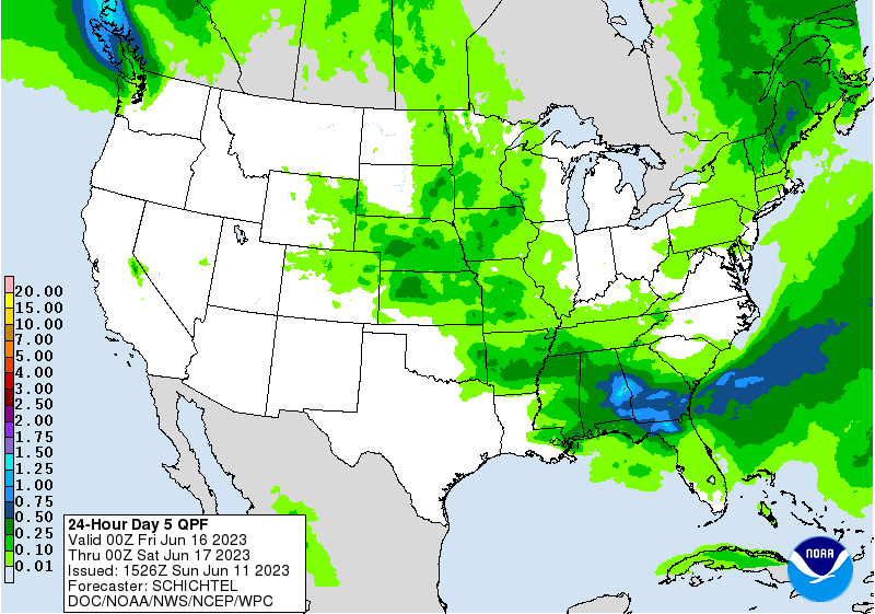
It will also be temporarily slightly cooler before things heat back up next week.
Turn Up Your Support
MPR News helps you turn down the noise and build shared understanding. Turn up your support for this public resource and keep trusted journalism accessible to all.

