
Warmer Tuesday, becoming hot midweek with thunder possible late week
Temperatures will be near 90 in southern Minnesota by Wednesday

Go Deeper.
Create an account or log in to save stories.
Like this?
Thanks for liking this story! We have added it to a list of your favorite stories.


We’ll have sunshine through occasional high clouds Tuesday with temperatures warming into the mid to upper 80s. Southern Minnesota will be near 90 Wednesday and Thursday with the chance of Thunder moving in late Thursday into Friday and Saturday.
Warmer Tuesday and hot Wednesday
Look for temperatures to warm up several more degrees Tuesday with some occasional high clouds. Expect it to be otherwise mostly sunny.
Temperatures warm more for southern Minnesota into Wednesday and Thursday when temperatures will approach 90.

The North Shore will start to see a lake breeze kick in Wednesday which will cool things off near Lake Superior. Highs will be in the low 70s Wednesday and just 60s there Thursday.
A hopeful chance of storms late week
Dew points will remain comfortable through most of Thursday but moisture will be moving north, becoming borderline sticky Thursday night, near 60 degrees. That moisture combined with a trough/wave aloft will create some thunder late Thursday west and will bring a statewide chance into Friday and Saturday.

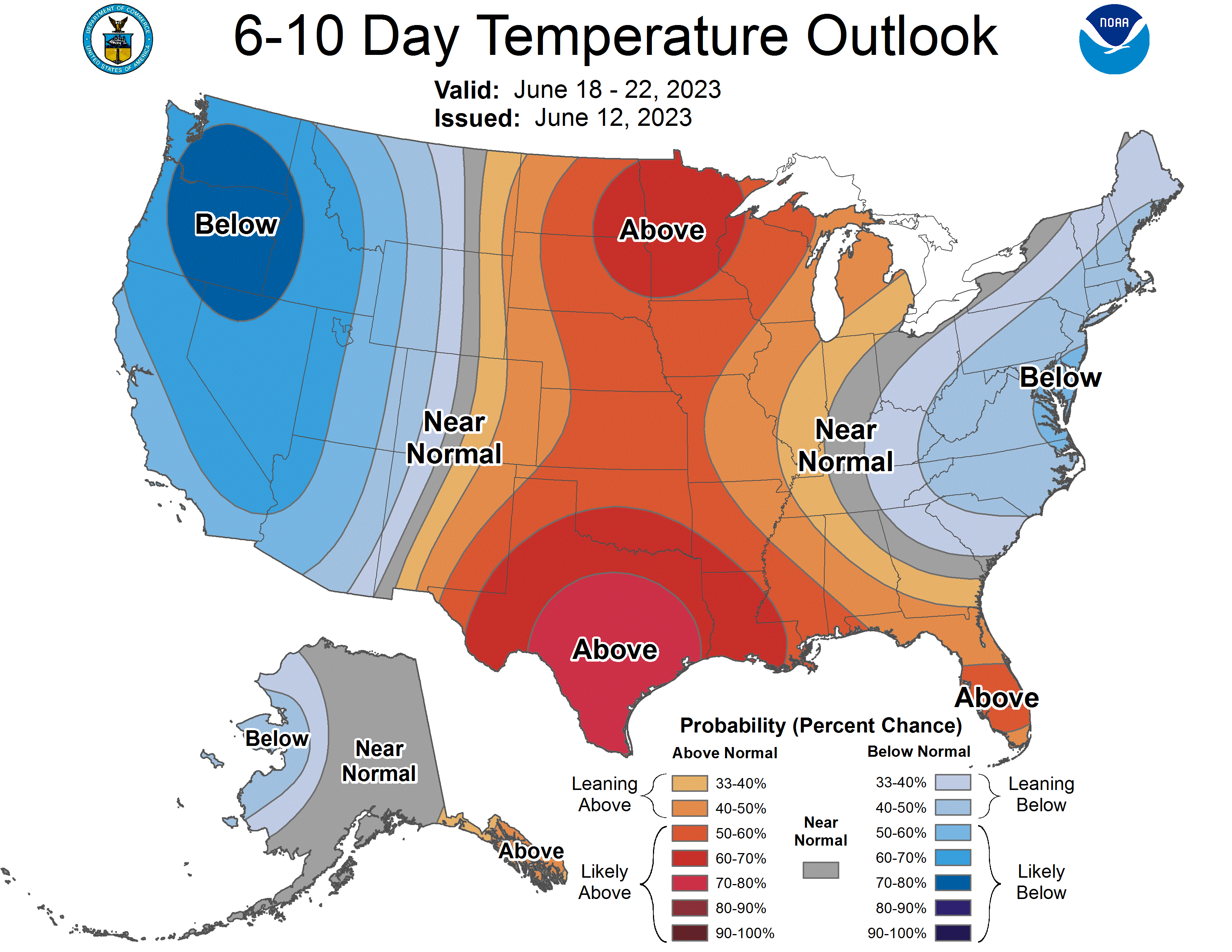
It’s then back to the heat for next week after temporarily being cooler Friday and Saturday. The long range outlook favors continued hotter than normal temperatures.
Turn Up Your Support
MPR News helps you turn down the noise and build shared understanding. Turn up your support for this public resource and keep trusted journalism accessible to all.

