
Warmer, mostly sunny Friday; increasing shower chance this weekend
Rain will be hit and miss this weekend

Go Deeper.
Create an account or log in to save stories.
Like this?
Thanks for liking this story! We have added it to a list of your favorite stories.


After a blast of cool air Thursday, temperatures will be warmer Friday with sunshine. The chance of showers increases from west to east through the weekend, but rainfall amounts will be limited east.
Warmer, bright Friday
The air quality remains improved from Wednesday but there will be some smoke still in the sky occasionally Friday.
Check the latest air quality conditions:
Here are air quality forecasts for the next couple of days also:
Turn Up Your Support
MPR News helps you turn down the noise and build shared understanding. Turn up your support for this public resource and keep trusted journalism accessible to all.
Temperatures will warm up Friday with winds shifting back from the southeast after the temporary cool blast Thursday.

Look for lots of sunshine Friday, too, as our next disturbance slows its progress toward Minnesota.
Weekend rain chances
The chance of rain will increase from west to east through the weekend and the moisture content will decrease as well from west to east. The best chance of rain most of Saturday is west while Saturday night into Sunday the chance increases for eastern Minnesota.
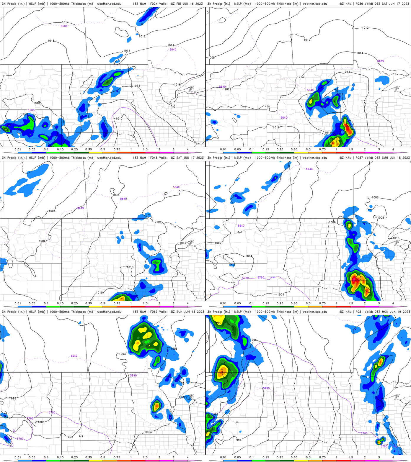
The best shot at more significant and widespread showers — though still scattered — is in western Minnesota. Unfortunately, the rainfall looks more spotty in eastern Minnesota.
Weekend temperatures will be mainly in the 80s south and 70s north with the increased cloud cover, though Saturday could get a bit steamy south as dew points will be in the low 60s and high temps could reach the upper 80s.

Get ready for more hot, dry weather next week. Highs by early next week and through the week will be close to 90 for southern and western Minnesota.


