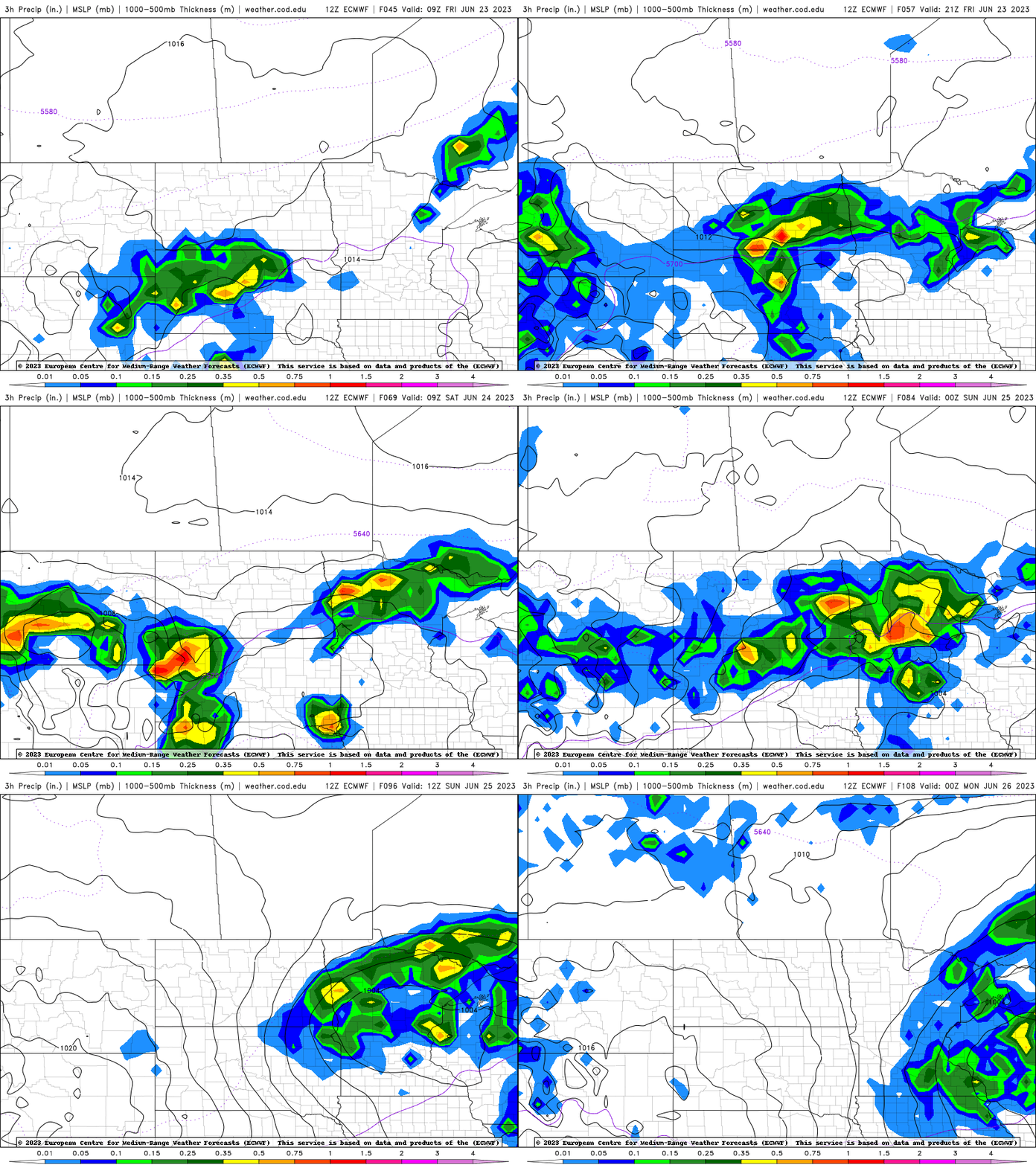
Hot, reduced air quality south; thunder possible north and west
Southeast Minnesota should remain mostly dry until Saturday

Go Deeper.
Create an account or log in to save stories.
Like this?
Thanks for liking this story! We have added it to a list of your favorite stories.


Southern Minnesota will see more 90s Thursday and even Friday while northern and western Minnesota see the chance of showers and thunderstorms. Air quality will remain poor southeast.
Hot with more ozone related air quality concerns south
We’re in for yet another 90 degree day in the Twin Cities and much of southern Minnesota. It will be the ninth for the Twin Cities. These readings continue to be about 10 to 12 degrees above normal.

We’ll likely pull of another 90 in the southeast on Friday depending on how much cloud cover can expand east as well as isolated thunder chances.

High levels of afternoon and evening ozone will continue to create unhealthy air quality across mainly southern Minnesota Thursday. An air quality alert remains in effect until 9 p.m. Thursday.
Turn Up Your Support
MPR News helps you turn down the noise and build shared understanding. Turn up your support for this public resource and keep trusted journalism accessible to all.
Check the latest air quality conditions and forecasts here:
Here are air quality forecasts for the next couple of days also:
Rain and thunder chances north and west slowly progress east
Showers and thunderstorms will become possible across mainly northern and western parts of Minnesota Thursday as our slow moving system to the west inches east.
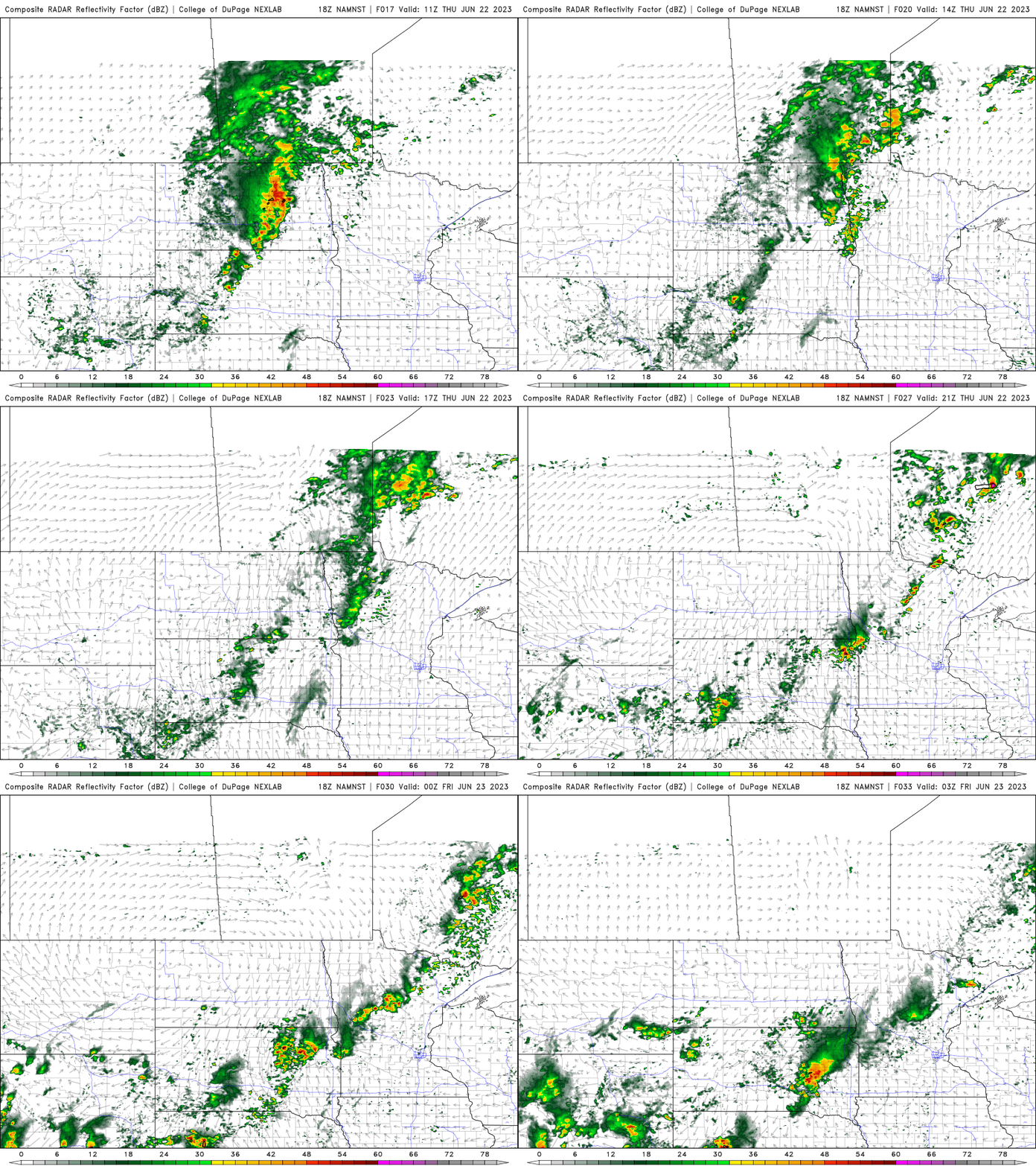
Friday could see this area of possible rain expand a bit more east and south with potentially isolated activity in the Twin Cities area. The better chance for southeast Minnesota and the Twin Cities will come later Saturday into Sunday.