
Warmer; spotty storms possible up north Tuesday, statewide by Wednesday
Temps several degrees above normal Tuesday; weekend looking dry

Go Deeper.
Create an account or log in to save stories.
Like this?
Thanks for liking this story! We have added it to a list of your favorite stories.


After a couple of modestly cooler days, temperatures will be back above normal, well into the 80s for most of the state. Northern Minnesota will see some afternoon spotty storms with a statewide chance Wednesday.
Warmer, more muggy midweek
Tuesday will be warmer as winds shift south behind an area of high pressure drifting eastward. Expect temperatures to be several degrees above normal in the mid-80s south to around 80 north.

With those south winds will come some more muggy air Wednesday and Thursday with dew points returning into the 60s.
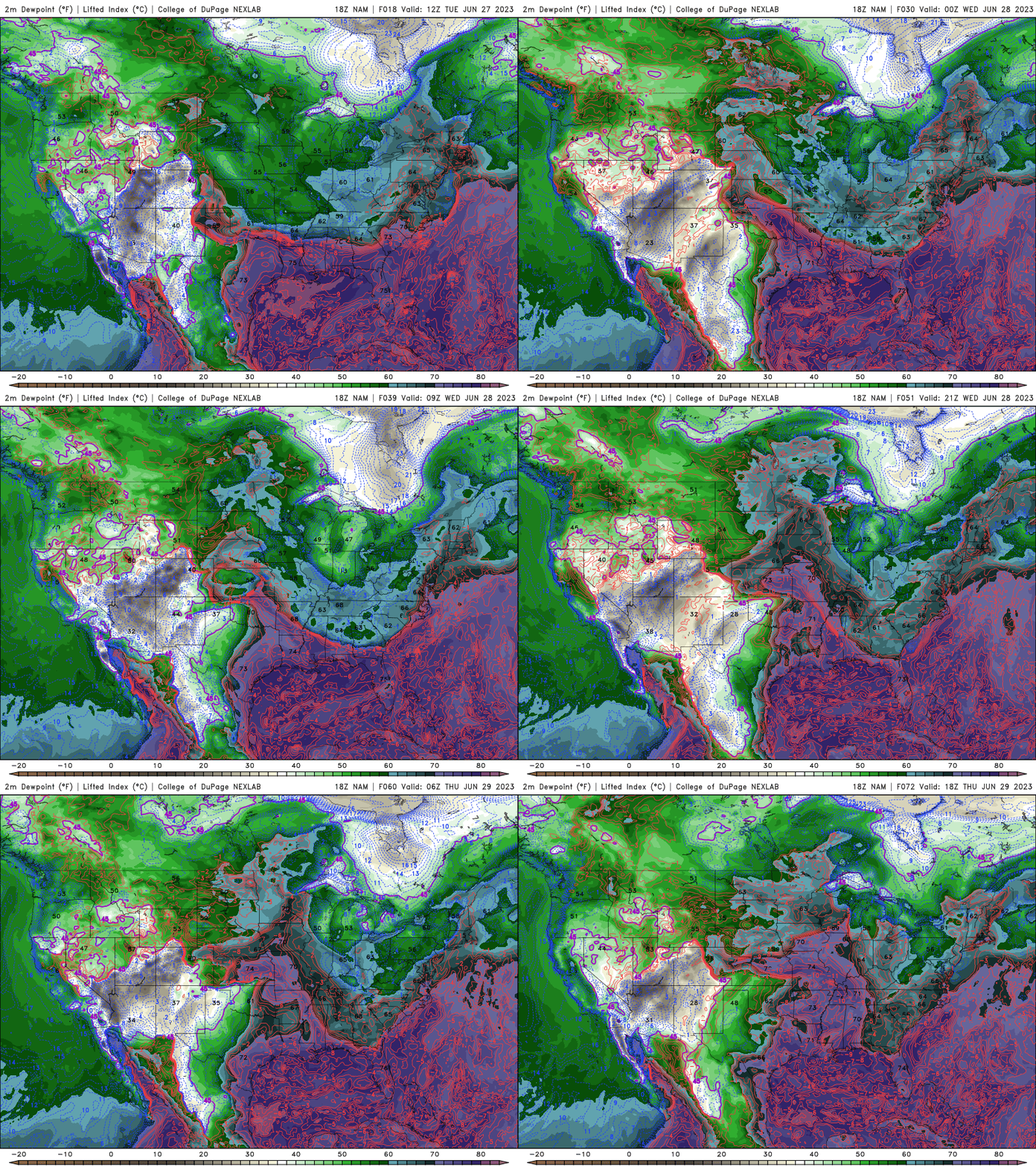
Statewide rain chances Tuesday night into Thursday
We’ll have a few minor disturbance moving through aloft, taking advantage of some of the muggy air and a weak, nearly stationary boundary to produce some spotty storms for northern Minnesota first on Tuesday and then statewide into Wednesday and Thursday.
There’s even a slight risk of severe storms Wednesday.
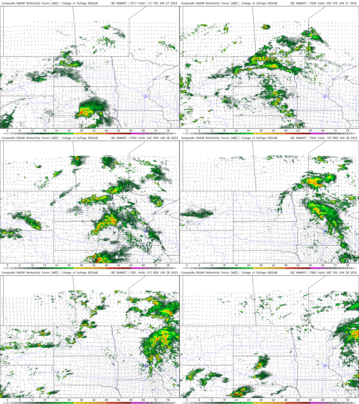
These storms are unlikely to be a widespread soaking but more spotty in nature. Some lingering isolated showers or thunder is possible, mainly north Friday. The weekend is looking dry before things heat up more next week.
Turn Up Your Support
MPR News helps you turn down the noise and build shared understanding. Turn up your support for this public resource and keep trusted journalism accessible to all.

