
Twin Cities finishing third-hottest June; more heat to start July
Next chance of rain comes Tuesday

Go Deeper.
Create an account or log in to save stories.
Like this?
Thanks for liking this story! We have added it to a list of your favorite stories.


The heat of June will overflow into July. Highs will be near or above 90 degrees Friday through Tuesday.
The next thunderstorm chance comes late Monday into Tuesday ahead of a cool front.
A very hot June finishes up
June is finishing up as the third-hottest on record for the Twin Cities going back to 1873. What makes this so remarkable is that the region recorded its second-hottest June on record just two years ago.
June 2023 was also the second driest June on record for the Twin Cities with just 93 one-hundredths (.93) of an inch of rain compared to a normal value that should be more than 4 inches.
Turn Up Your Support
MPR News helps you turn down the noise and build shared understanding. Turn up your support for this public resource and keep trusted journalism accessible to all.

In keeping with many of our climate trends, 40 percent of the top 20 warmest Junes have happened since just 2005, despite these 18 years making up only 12 percent of the data set.
According to Minnesota climatologist Mark Seeley, it was the fourth-hottest June on record statewide.

Precipitation was a mix of rankings but overall it was a very dry June for most of Minnesota with a large swath of the state seeing just 25 percent or less of normal rainfall.

June should be our wettest month of the year with average rainfall of more than 4 inches.
Hot stretch; storms possible early next week
Thursday marked our 11th day in the 90s this season in the Twin Cities and we’ve got at least a few more coming in the next several days. Friday will be in the upper 80s to near 90 in southern Minnesota to near 80 in northern Minnesota.

There could be a couple isolated thunderstorms in far southern Minnesota late Friday, mainly along Interstate 90 and points south.

Temperatures will be much the same Saturday but Sunday we start to crank the dial up more with highs into the low 90s for southern Minnesota with mid 80s north.
Monday looks to be the peak of our heat and potentially the hottest day many of us have seen so far this season. Highs could reach the mid-90s in southern Minnesota.

We’ll also see the chance of some thunderstorms later in the day Monday, especially for central and northern Minnesota ahead of a cool front. That chance will be statewide on Tuesday with highs still near 90 in southern Minnesota.
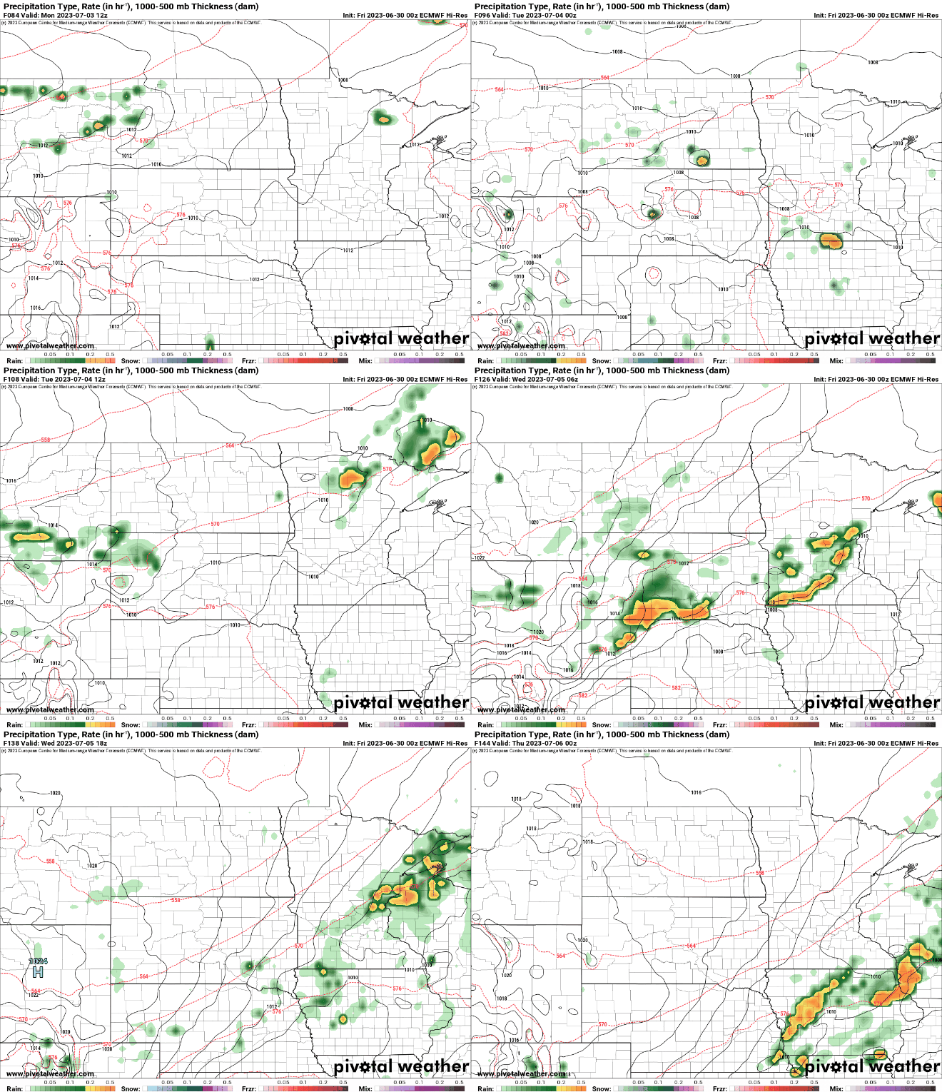
Behind the front will come relief from the heat. Highs will be in the 70s and 80s midweek.


