
Friday showers north and south; weekend warming trend
A few more spotty shower chances ahead

Go Deeper.
Create an account or log in to save stories.
Like this?
Thanks for liking this story! We have added it to a list of your favorite stories.


Scattered showers Friday will be across northern Minnesota and the southern part of the state with central Minnesota largely dry. Temperatures warm back up this weekend.
Showers Friday north and south
Two separate disturbances are moving through Minnesota Friday. One to the south will affect the southwestern part of the state and the southern most counties and another across the northern half of Minnesota will yield scattered showers and a few thunderstorms.
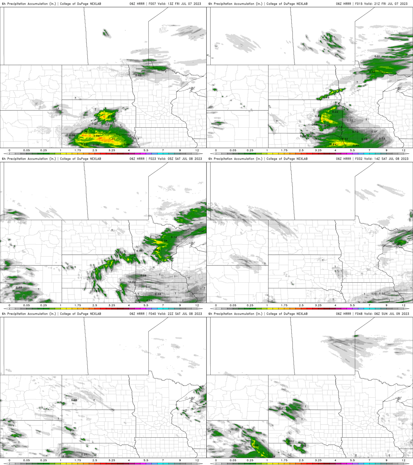
In between, the Twin Cities area and central Minnesota will largely be missed. We will all see increased cloud cover, however.
An isolated shower or two could sneak through in the late evening or overnight hours Friday night. Saturday may bring an isolated thunderstorm to southeastern Minnesota.
Turn Up Your Support
MPR News helps you turn down the noise and build shared understanding. Turn up your support for this public resource and keep trusted journalism accessible to all.
Most of these relatively minor disturbances moving through over the weekend are rotating in around a large upper-level low centered over Hudson Bay.
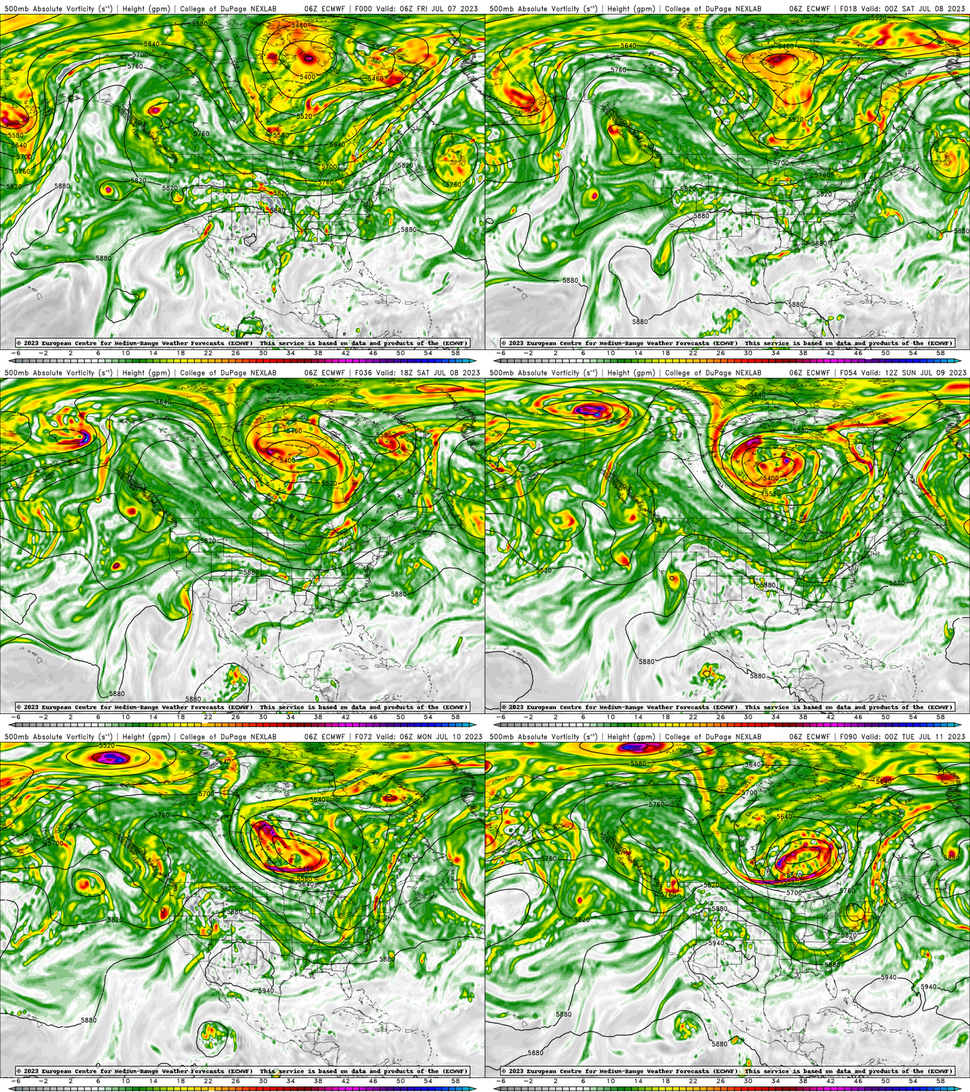
The next disturbance moves into the northern half of the state Sunday but will only yield isolated chances south on Monday.
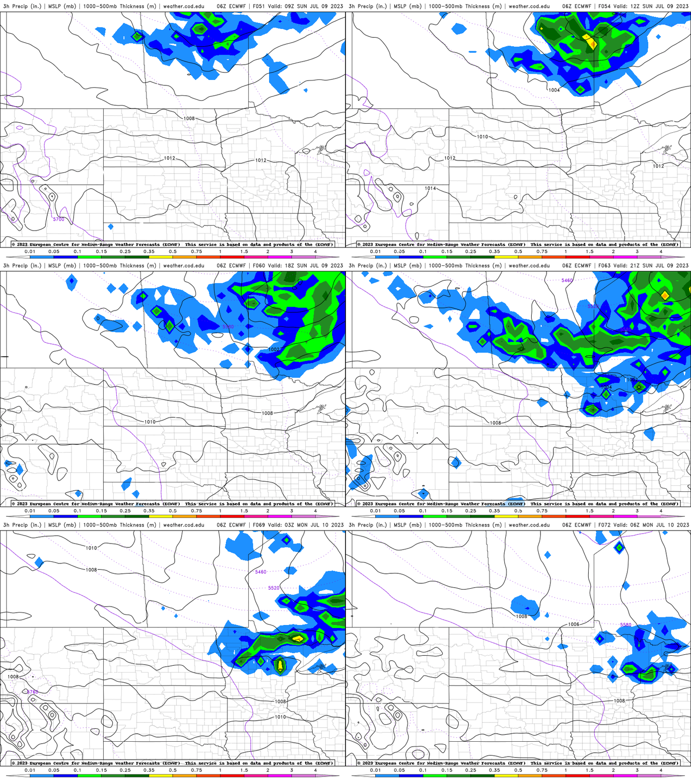
Overall, over the next several days, most of Minnesota will be left needing much more moisture. Remember we need more than 1 inch of rainfall each week this time of year for our deficits to not continue to grow.

Warming trend
Friday will be another mostly cooler than normal day with highs mostly in the 70s once again.

Saturday again may be a degree or two below the normal but by Sunday and Monday things are heating back up as cooler air to the north squeezes a wedge of hot air south and east out ahead of it.
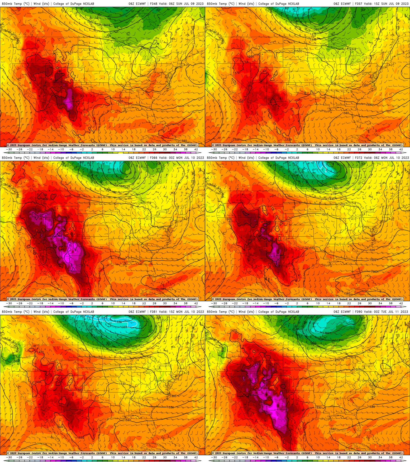
Highs could get close to 90 across southern Minnesota Monday afternoon.


