
Cold front divides state Monday; hot south with storms developing later
20 to 25 degree temperature different north to south Monday
Go Deeper.
Create an account or log in to save stories.
Like this?
Thanks for liking this story! We have added it to a list of your favorite stories.


A cold front will divide the state Monday. High temperatures will range from the low 90s south to near 70 north with storms developing south in the evening ahead of the cold front.
Cold front pushes heat south and produces thunderstorms later
It’ll be a steamy one in southern Minnesota with highs reaching the low 90s and dew points climbing into the stickier 60s.

The cold front will touch off some thunderstorms late Monday afternoon into the evening hours.
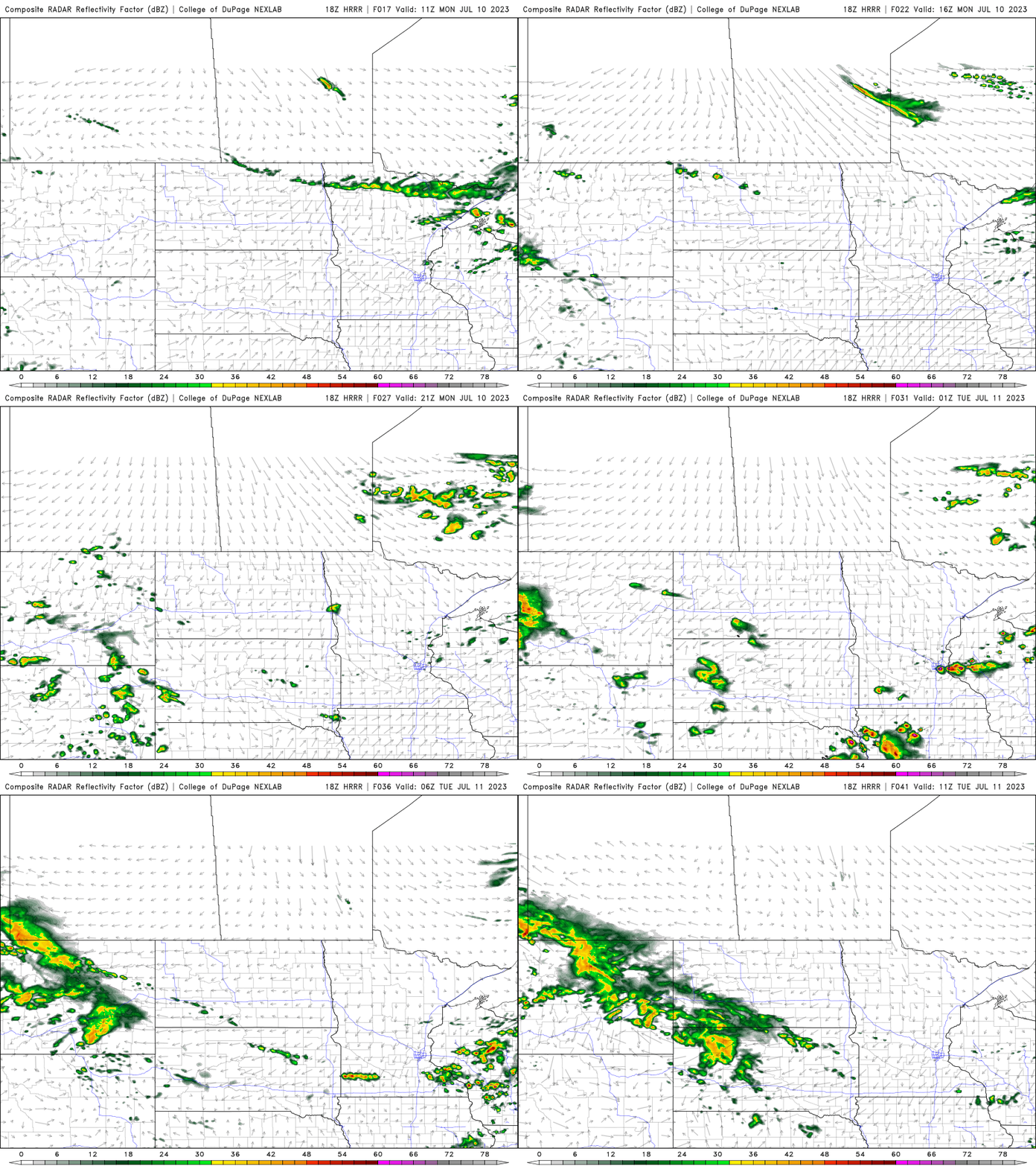
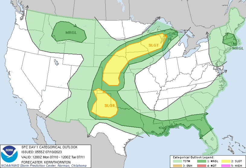
Some isolated storms could be strong to severe with the main threats being isolated large hail and damaging wind gusts. There’s a slight risk (level 2 of 5) of severe storms in southern Minnesota into western Wisconsin.
Behind the front it’ll be cooler with highs mainly in the upper 60s to upper 70s for highs Tuesday and Wednesday.

We’ll also enter an unsettled stretch of weather with spotty shower chances possible each day but few places will see significant rainfall in total.
Turn Up Your Support
MPR News helps you turn down the noise and build shared understanding. Turn up your support for this public resource and keep trusted journalism accessible to all.

