
Hot Monday; late, severe storms possible south; cooler Tuesday statewide
We’ll have additional minor rain chances this week

Go Deeper.
Create an account or log in to save stories.
Like this?
Thanks for liking this story! We have added it to a list of your favorite stories.


A cold front will push hot weather ahead of it Monday with highs in the low 90s south. That front will touch off potential severe storms late Monday with cooler air behind it Tuesday.
Hot south; potential severe storms Monday
A cold front is dividing the state between hot and cooler conditions Monday. Highs will be in the low 90s south while just around 70 in northern Minnesota.

That front touched off thunderstorms late Sunday that produced large hail across northern Minnesota. Some places saw hail as much as 2-inches in size.

The cool front will touch off spotty storms late Monday afternoon through the evening hours, this time across southern Minnesota into western Wisconsin.
Turn Up Your Support
MPR News helps you turn down the noise and build shared understanding. Turn up your support for this public resource and keep trusted journalism accessible to all.
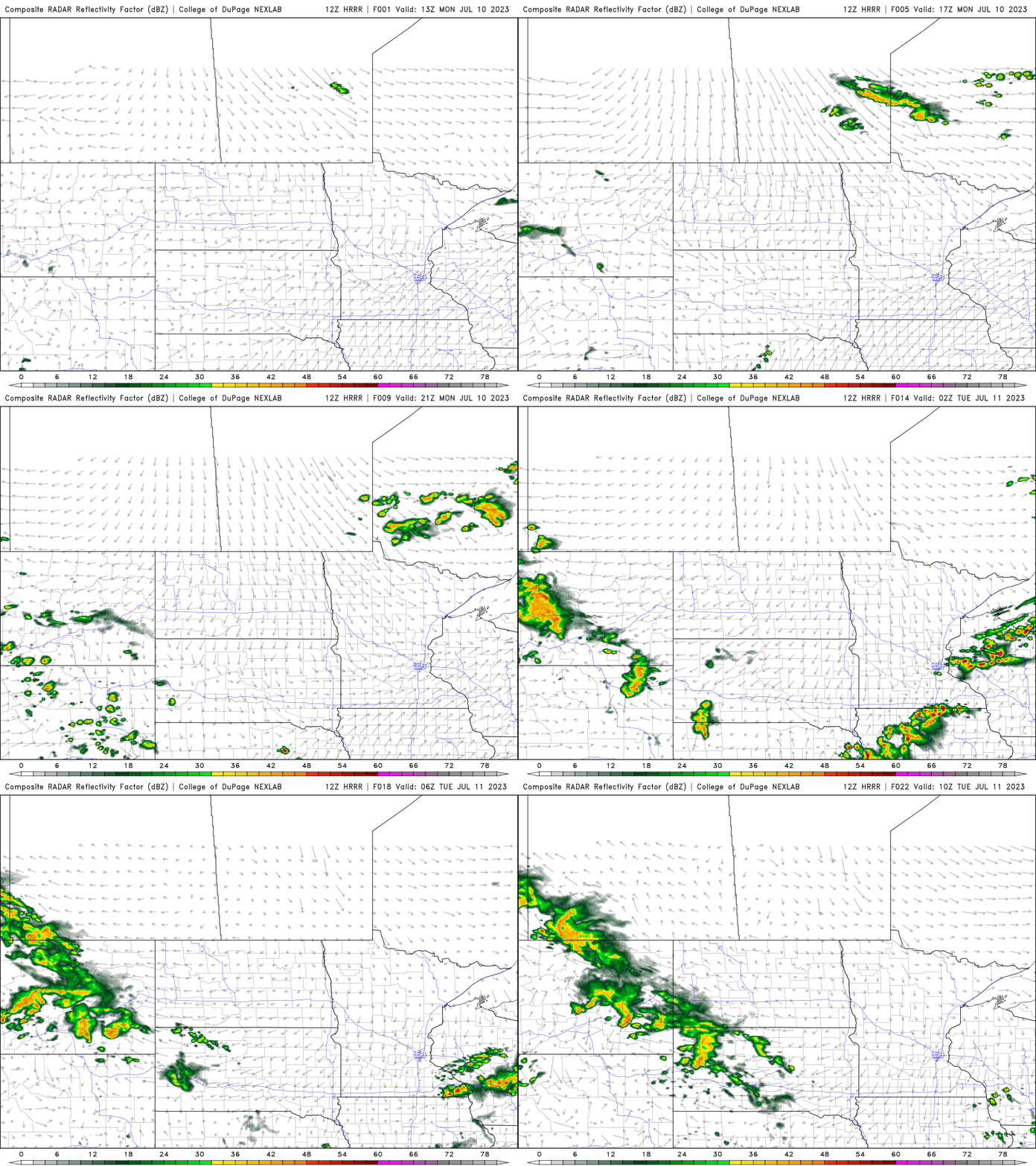
There’s a slight chance (level 2 out of 5) of severe storms for southern Minnesota where the main threats will be large hail again and some isolated damaging wind gusts.
Cool front brings in more smoke
A northwest upper-level flow and that cool front are also pushing wildfire smoke back into the area. The smoke map and air quality sensors show this early Monday morning.

Air quality is moderate in portions of northern Minnesota just behind the cool front early Monday morning.

The forecast for Monday shows most of Minnesota expecting moderate air quality as a result and you’ll notice hazier skies with most smoke remaining aloft.

Cooler Tuesday; minor rain chances ahead
Behind the cool front temperatures will be mainly in the 70s Tuesday with sunshine.

After Tuesday we have a few minor disturbances that will touch off isolated and spotty rain chances. The next chance of rain will be late Tuesday night into Wednesday morning and then again late Thursday.

These rain chances will not yield enough rainfall to prevent growing rain deficits for most however.

