
Spotty rain chances; major heat wave developing next week
Seasonable temperatures for Friday and Saturday

Go Deeper.
Create an account or log in to save stories.
Like this?
Thanks for liking this story! We have added it to a list of your favorite stories.


Friday and Saturday afternoons will yield a few spotty showers or storms. A potentially major heat wave develops for all of next week.
Spotty storms with seasonable temperatures Friday and Saturday
High temperatures Friday will be a bit warmer than Thursday’s with readings in the low to mid 80s south and 70s north.

Two different, fast moving upper level disturbances will impact weather Friday and Saturday.

These disturbances combined with day time heating will generate modest instability, sufficient for some spotty showers and thunder both Friday and Saturday afternoons.
Turn Up Your Support
MPR News helps you turn down the noise and build shared understanding. Turn up your support for this public resource and keep trusted journalism accessible to all.
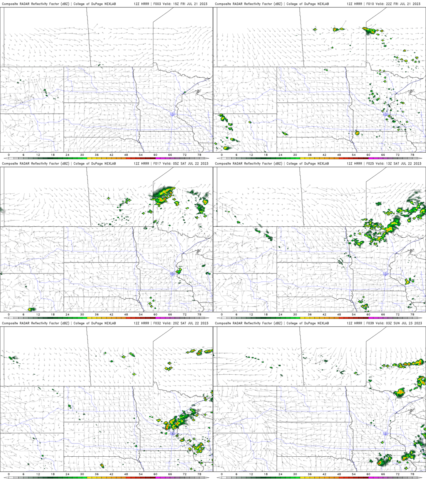
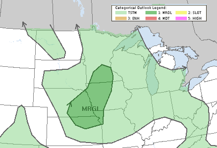
There’s even a small (marginal risk, level 1 of 5) chance of some isolated severe storms with the main threat being some large hail potential.
Hottest weather of the summer builds in next week
The heat dome that’s been baking much of the west expands east and northeast starting early next week and will impact Minnesota all of next week.
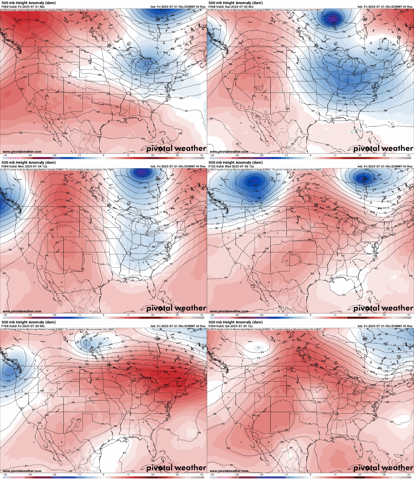
Widespread high temperatures will be in the 90s and even 100s for some areas in the central U.S. into next weekend.

The peak of the temperatures looks to come Wednesday or Thursday next week with highs in the upper 90s and even 100 is possible.

Those readings would be the hottest of this summer season.

