
Steamy Friday, isolated storms in southern Minnesota; weekend looks good
Some storms could be severe in southern Minnesota Friday

Go Deeper.
Create an account or log in to save stories.
Like this?
Thanks for liking this story! We have added it to a list of your favorite stories.


A cool front will continue to be the focus for some storms later in the day Friday. It will still be steamy south while northern Minnesota will be much more comfortable. Cooler air moves in statewide by Saturday.
Cool front divides Minnesota Friday; storms possible
It’s still pretty muggy across southern Minnesota Friday as a slowly moving cool front continues to push south.
Afternoon dew points will still be in the 60s to near 70 south while dew points will be in the 50s in northern Minnesota. By Saturday the dew points will be much more comfortable statewide.
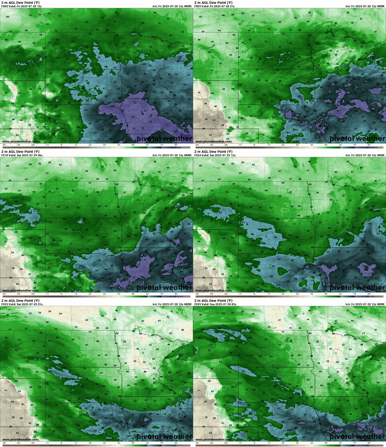
High temperatures will still be in the upper 80s to near 90 south while just in the mid-70s across northern Minnesota Friday afternoon.
Turn Up Your Support
MPR News helps you turn down the noise and build shared understanding. Turn up your support for this public resource and keep trusted journalism accessible to all.

That front will be the focus for more potential thunderstorms Friday afternoon and evening.
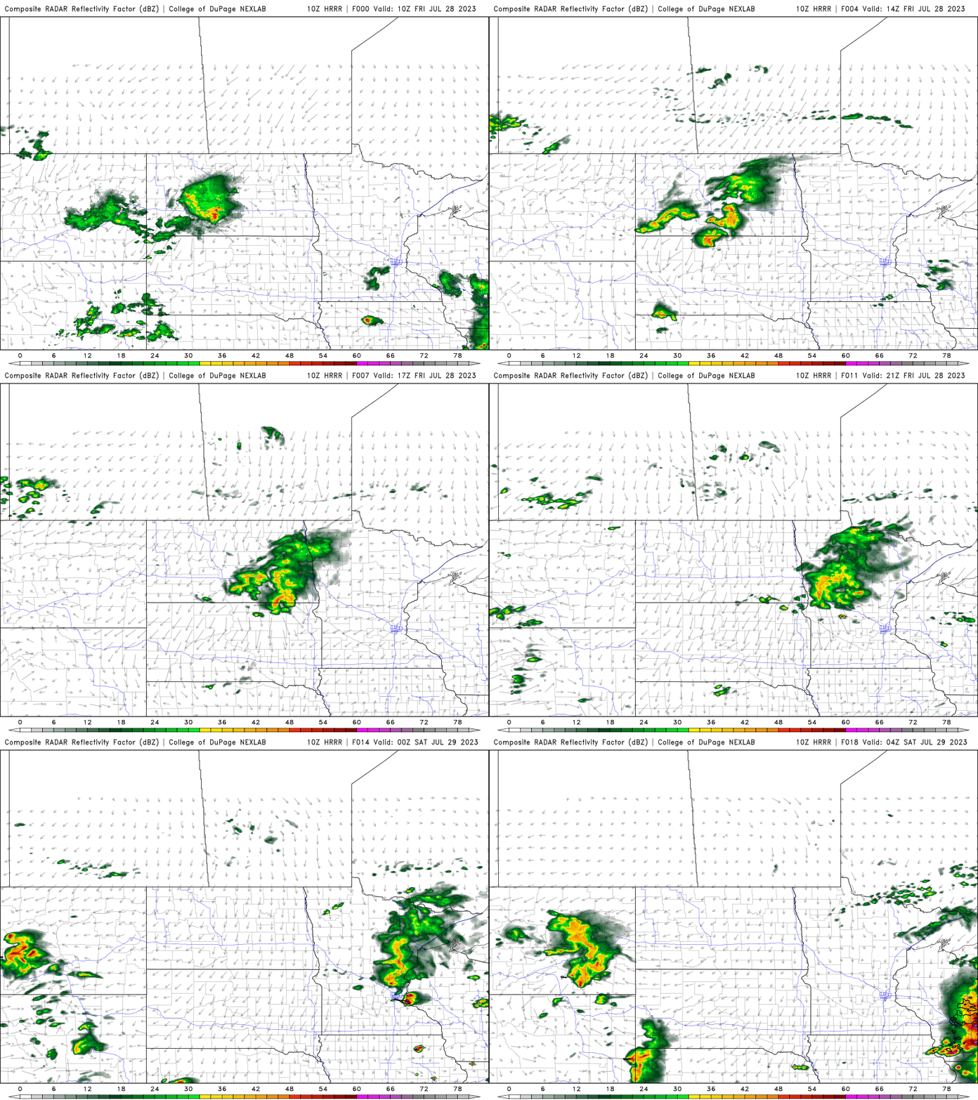
There’s a severe risk with any storms that develop in southern Minnesota into Iowa and Wisconsin.

Nice weekend; temps rise again next week
The weekend looks very nice with highs closer to normal, mainly in the low to mid-80s south and 70s north with much more comfortable air Saturday.

Sunday too will see similar conditions.

By the middle of next week, though, we could see high temperatures back near 90, so enjoy the break this weekend.


