
Storms possible Wednesday, mainly north; steamy through Thursday
Weekend looks cooler with rain possible

Go Deeper.
Create an account or log in to save stories.
Like this?
Thanks for liking this story! We have added it to a list of your favorite stories.


Wednesday and Thursday will be steamy with highs in the low 90s south and dew points well into the 60s. More thunderstorms are possible in northern Minnesota with a marginal risk of severe weather.
Hot, muggy; thunderstorms possible north
Much of northwestern through north-central and central Minnesota saw some significant rainfall Tuesday as clusters of storms swept through the region. A large swath of 1 to 2 inches of rain fell from about Bemidji through Mille Lacs Lake to Rush City.

We’ll see a steamy couple of days Wednesday and Thursday with highs in the low 90s for the Twin Cities and much of central and south-central Minnesota.

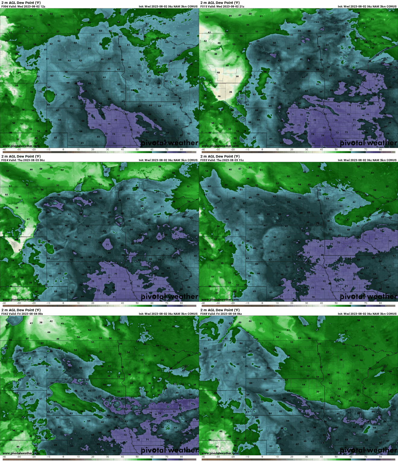
Dew points will remain muggy the next couple days in the 60s to even near 70 at times.
Turn Up Your Support
MPR News helps you turn down the noise and build shared understanding. Turn up your support for this public resource and keep trusted journalism accessible to all.
More thunderstorms are possible across northern and central Minnesota Wednesday afternoon and evening, although the activity will be spotty and isolated.
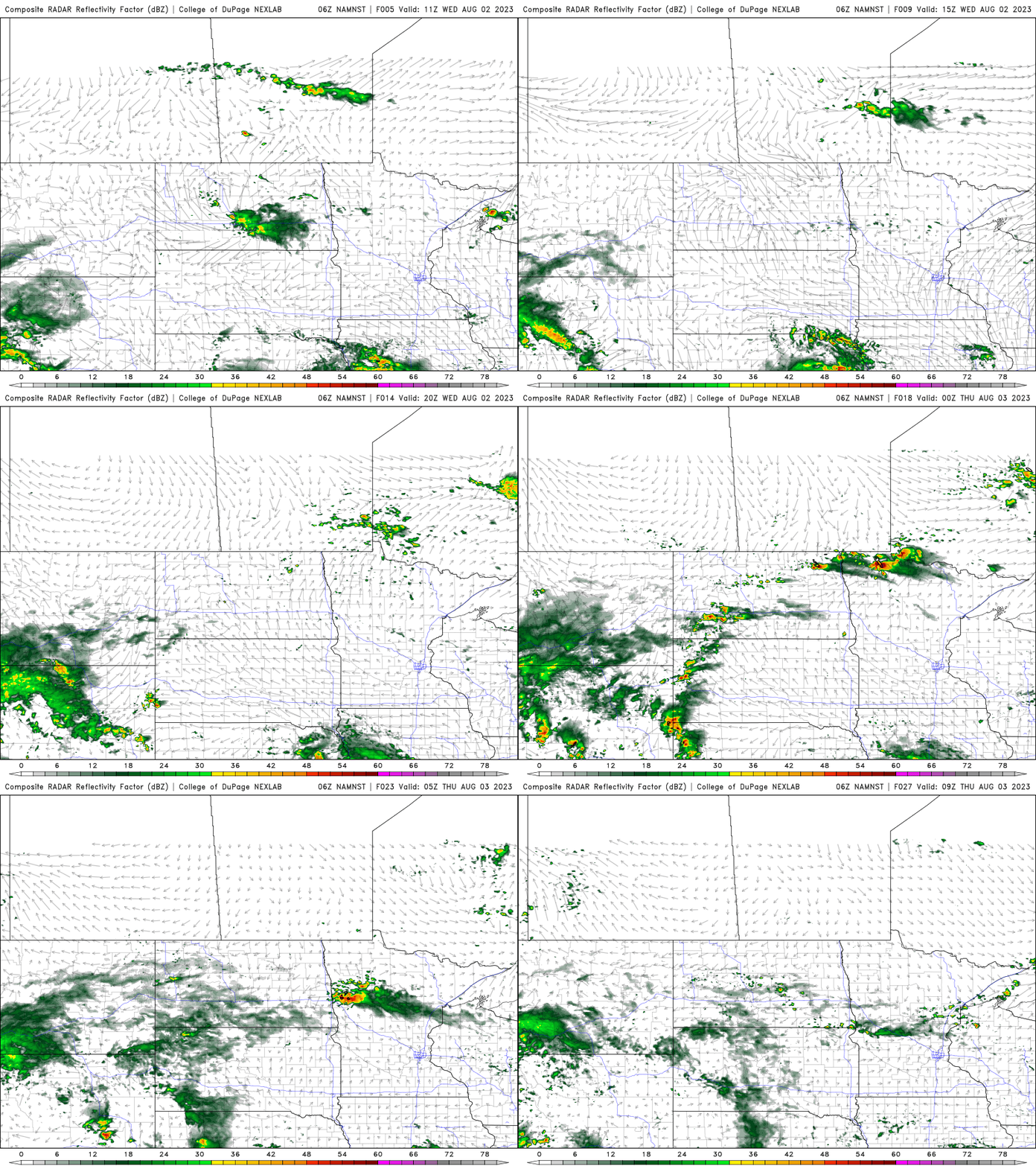
There’s a marginal risk (level 1 of 5) of severe storms with damaging wind gusts and large hail being the primary threats.

Cooler with weekend rain possible
Temperatures will gradually cool off through the weekend and dew points will also drop. We also have a decent chance of potentially significant moisture across southern Minnesota developing Saturday into Sunday night. Rainfall chances will increase through the period:

While the models disagree some on the precise track and rainfall amounts, the southern third of Minnesota, including the Twin Cities on the northern edge, is favored for widespread rainfall.


