
Very warm with late day storms possible north; air quality alert north also
Highs will be mostly in the 80s Tuesday

Go Deeper.
Create an account or log in to save stories.
Like this?
Thanks for liking this story! We have added it to a list of your favorite stories.


Tuesday will be very warm with highs in the mid to upper 80s south to low 80s north. Scattered storms develop through the afternoon and evening in northern Minnesota.
Very warm Tuesday with scattered storms for northern Minnesota
Highs Tuesday will be in the mid to even some upper 80s south with low 80s in northern Minnesota.

An air quality alert is also in effect for portions of central and northern Minnesota through noon on Wednesday.
A cool front will touch off scattered storms midday in the far northwest corner of Minnesota and then spread east and southeast into the evening.
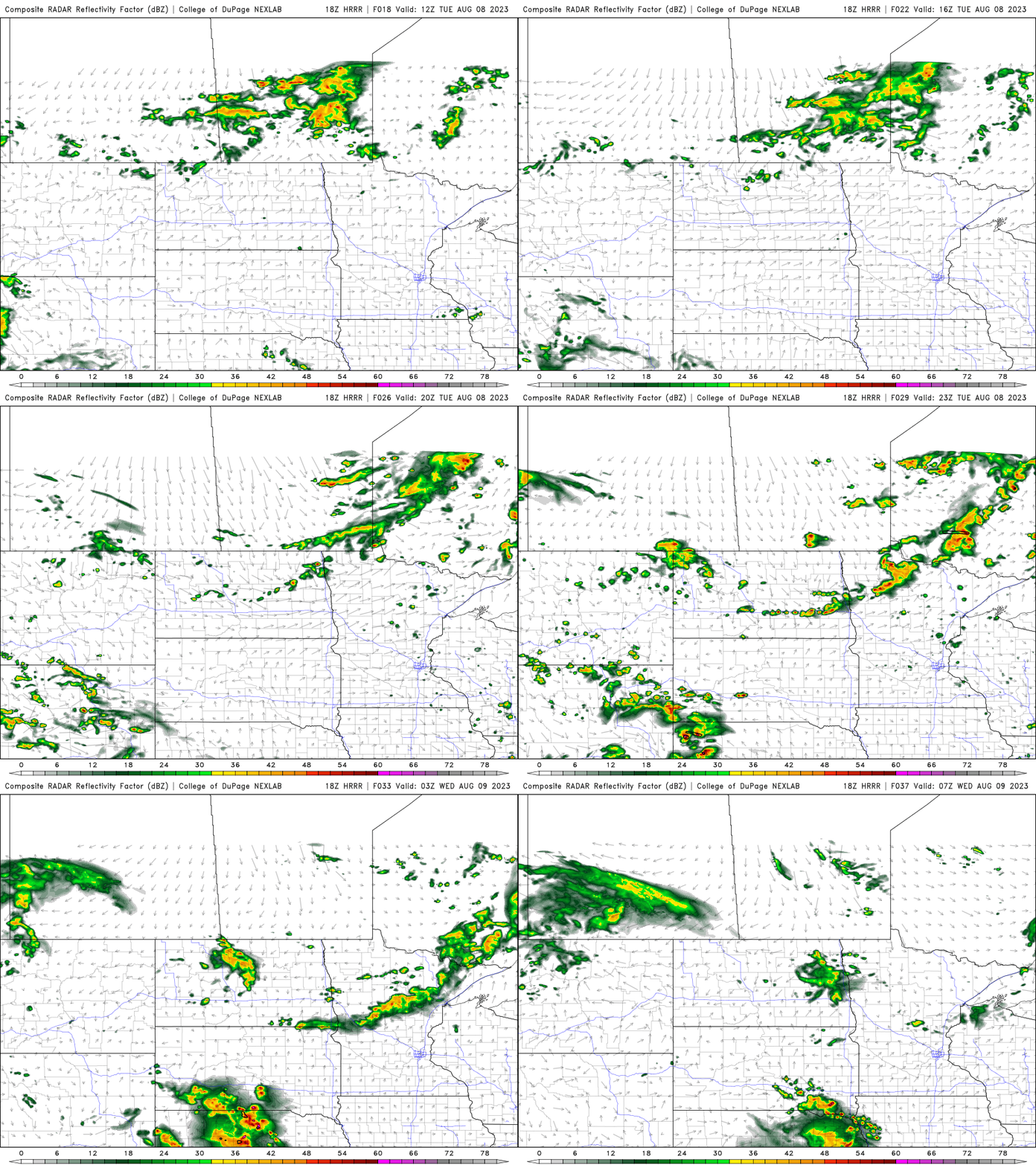
That front will be the focus for a few showers in north central Minnesota early Wednesday with some spotty storms along the front in central Minnesota, including the Twin Cities later in the afternoon Wednesday. Highs Wednesday will again be in the 80s south but just around 70 north behind the front. It will also be a bit muggy in southern Minnesota.

Another front will create scattered showers and storms late Thursday into early Friday across the state and drop temperatures for Friday and Saturday, especially in northern Minnesota.
Turn Up Your Support
MPR News helps you turn down the noise and build shared understanding. Turn up your support for this public resource and keep trusted journalism accessible to all.

