Warm again Tuesday with another air quality alert north; thunder develops north also
Temperatures will continue to be near or above normal Tuesday

Like this?
Log in to share your opinion with MPR News and add it to your profile.
Like this?
Thanks for liking this story! We have added it to a list of your favorite stories.
Expect slightly warmer than normal temperatures again Tuesday with sunshine south and late day storms north. We also have another air quality alert for portions of central and northern Minnesota.
Warm, more smoke Tuesday into Wednesday
The smoke and air quality analysis Tuesday morning shows another plume of smoke across the region. Most of it is elevated, but there is some reaching the surface creating moderate air quality.

The forecast calls for unhealthy air for sensitive groups across much of northern and parts of central Minnesota Tuesday into Wednesday morning. An air quality alert is in place through noon Wednesday.

Check the latest air quality conditions, alerts and forecasts here:
Support the News you Need
Gifts from individuals keep MPR News accessible to all - free of paywalls and barriers.
Highs Tuesday will be back in the mid 80s south to low 80s north, slightly above normal for the date.

Thunder chances ahead and a cooler end to the week
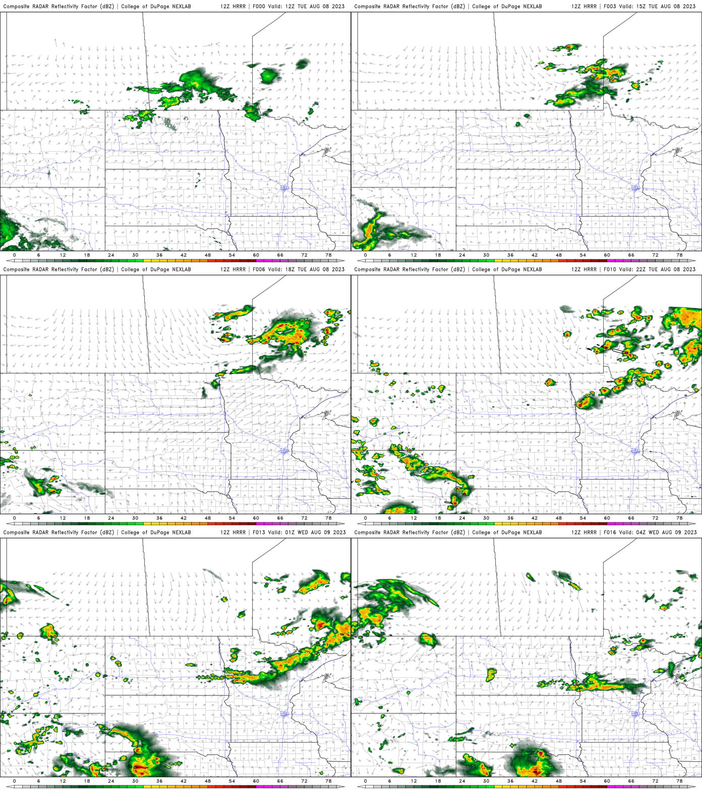
The next chance of thunderstorms arrives for northern Minnesota Tuesday afternoon and evening as a cool front moves in. Scattered showers could linger into north central Minnesota into early Wednesday.

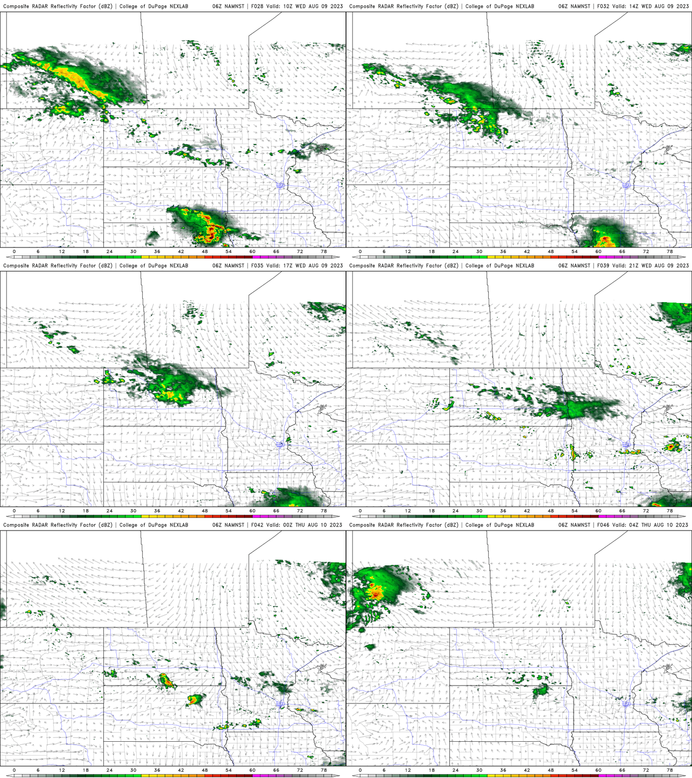
Wednesday will be warm still south while northern Minnesota cools off behind the front into the 70s.

Dew points will also be muggier south, into the 60s ahead of the cool front.

Spotty thunder will be possible with daytime heating across central and southern Minnesota, including the Twin Cities area on Wednesday focused on the same frontal boundary.

Yet another system and cold front will touch off more widespread showers and thunderstorms late Thursday into Friday. Some of that activity could yield some strong storms.

Behind that front, it will cool off, especially for northern Minnesota Friday and Saturday.


