
Brighter Tuesday; heating up Wednesday with storms late
A potential heat wave is developing for the weekend

Go Deeper.
Create an account or log in to save stories.
Like this?
Thanks for liking this story! We have added it to a list of your favorite stories.


Tuesday will be seasonable with plenty of sunshine. Wednesday will be warmer and more humid with storms late as a cool front sweeps across Minnesota.
Brighter and warmer Tuesday into Wednesday with possible storms
Temperatures will be back to near normal levels Tuesday with highs in the upper 70s to low 80s. In northern Minnesota, highs in the 80s to near 90 in the northwest will be above normal. We’ll see some afternoon high clouds filter the sun some.

Things heat up a bit more Wednesday with highs in the upper 80s to even near 90 in southern and west central Minnesota. It will also become more muggy with dew points in the 60s to near 70.

A cold front will sweep across the state touching off scattered showers and storms late Wednesday.
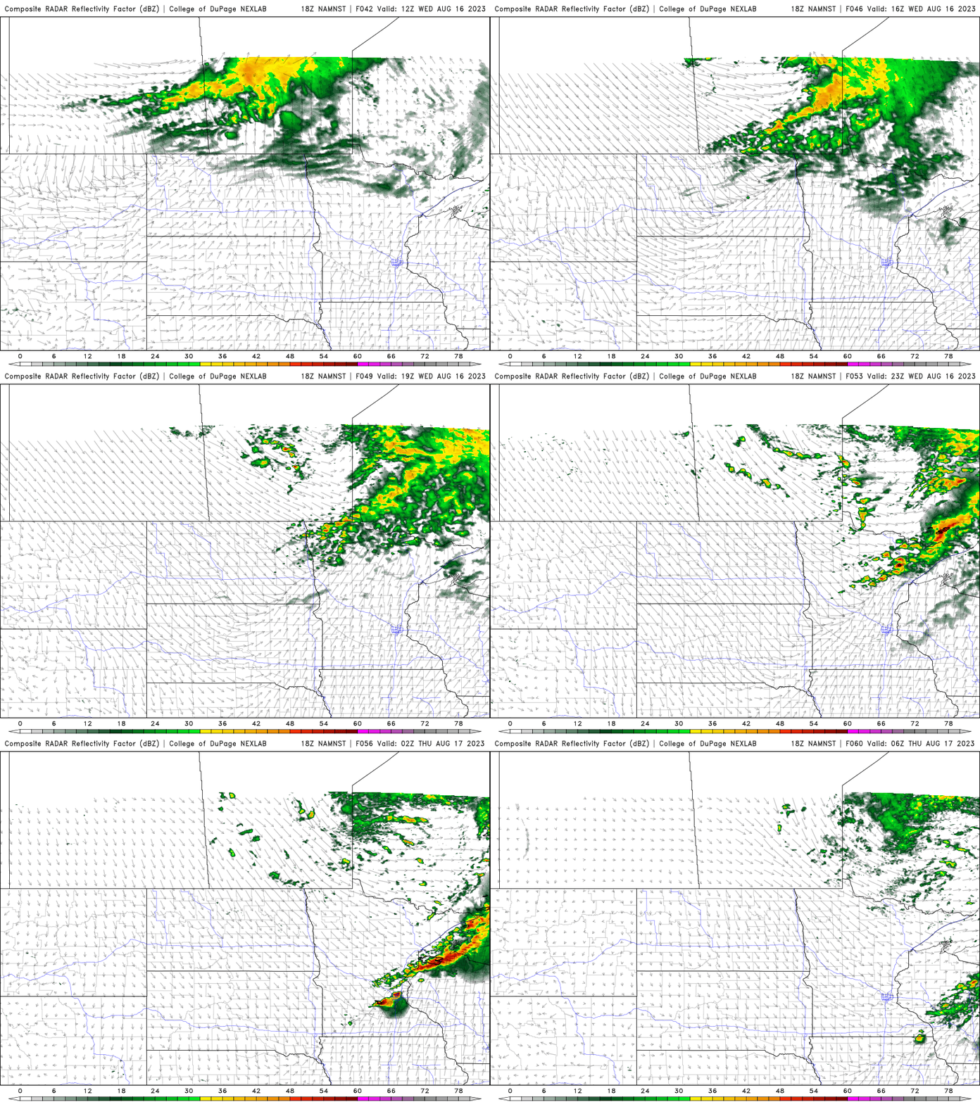
Some storms could be strong to severe in eastern Minnesota Wednesday evening. Behind the front it will be cooler and less humid for Thursday and Friday before things really heat up again this weekend.
Turn Up Your Support
MPR News helps you turn down the noise and build shared understanding. Turn up your support for this public resource and keep trusted journalism accessible to all.

