
Warmer, windy Thursday; rare September heat wave shaping up
A string of 90s starts as early as Friday

Go Deeper.
Create an account or log in to save stories.
Like this?
Thanks for liking this story! We have added it to a list of your favorite stories.


Thursday will be warmer and windy as we shift from seasonable to hot temperatures heading toward the weekend.
Warmer, windy Thursday
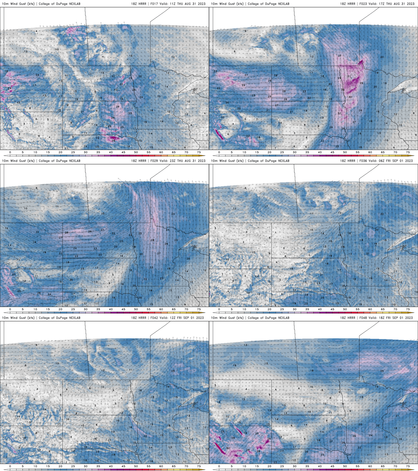
Winds will become quite blustery today and tomorrow as a hot air mass moves toward Minnesota once again heading into the holiday weekend.
Highs will be warmer, but not hot just yet. Most of southern and western Minnesota will warm into the 80s with 70s lingering in northeast Minnesota.

Rare Labor Day weekend heat wave
Friday will see high temperatures top out to around 90 for southern Minnesota and even into the 90s west.

It will be the first of potentially several days in the 90s into early next week. Record highs in the Twin Cities are in the upper 90s and we may break one or two of those. It’s a rather rare kind of heat for this late in the season. Four to five consecutive days in the 90s are forecast for the Twin Cities area.
Here’s a look at the most consecutive days in the 90s in September in the Twin Cities:
7 in 1978
5 in 1931 (also the year we set the all-time September record of 104 degrees!)
5 in 1922
4 in 1895
Turn Up Your Support
MPR News helps you turn down the noise and build shared understanding. Turn up your support for this public resource and keep trusted journalism accessible to all.

