
Decreasing clouds west to east Thursday
Warmer Friday and Saturday

Go Deeper.
Create an account or log in to save stories.
Like this?
Thanks for liking this story! We have added it to a list of your favorite stories.


Temperatures will be much cooler behind a cold front Wednesday. It will be windy with lingering clouds east but sunshine west. Air quality will be unhealthy at times west.
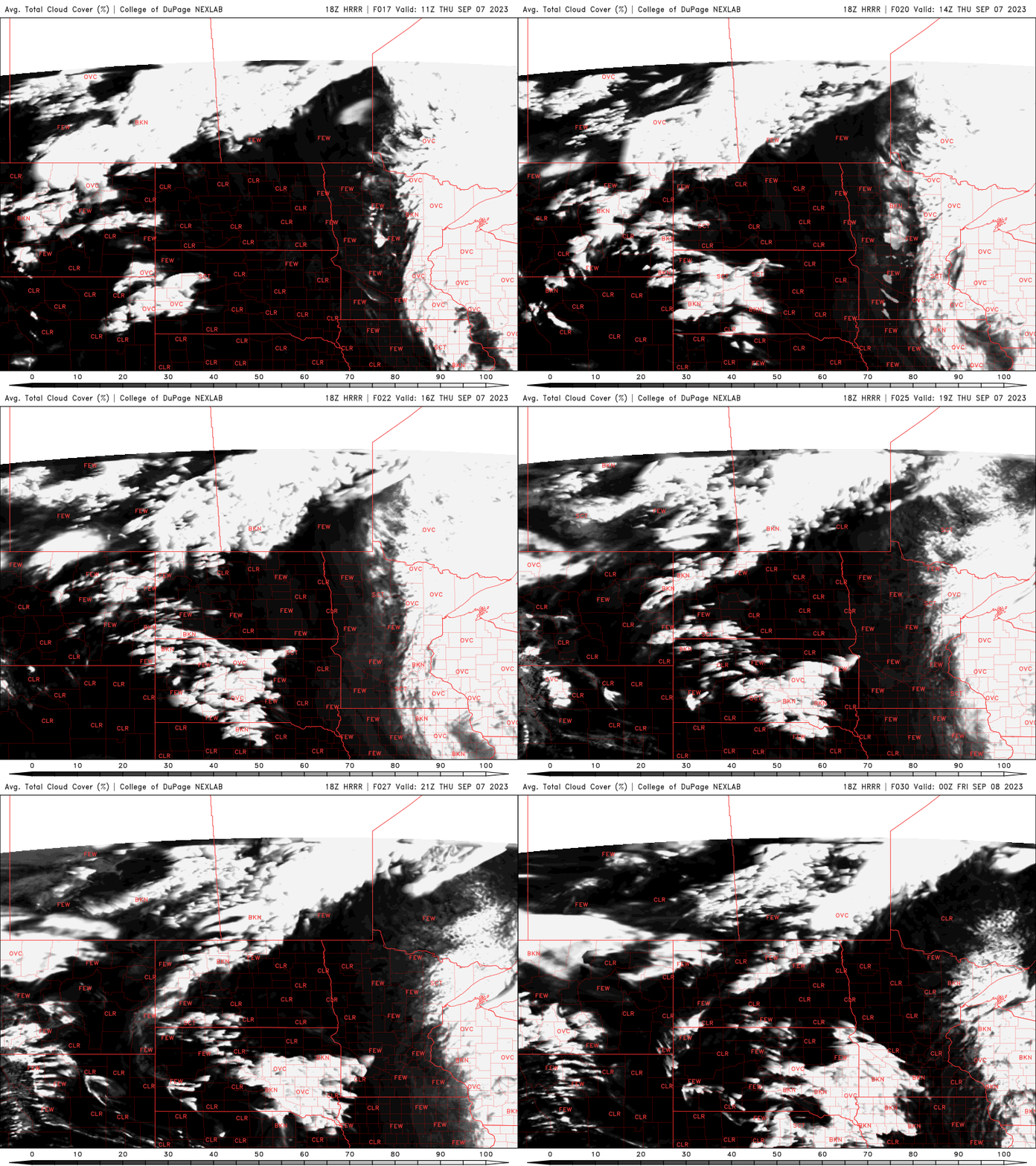
Decreasing clouds Thursday
Lingering clouds should slowly decrease west to east Thursday. Much of northeast Minnesota and far east central Minnesota will remain cloudy much of the day.
Patchy areas of poor air quality remain in portions of western Minnesota but should continue to improve. An air quality alert is in effect through 9 a.m. for western Minnesota Thursday.
Check the latest air quality conditions, alerts and forecasts here:
Turn Up Your Support
MPR News helps you turn down the noise and build shared understanding. Turn up your support for this public resource and keep trusted journalism accessible to all.
High temperatures will range from the low 60s in northeast Minnesota to low 70s in the Twin Cities and upper 70s in west central Minnesota.
Thursday night will be chilly in eastern Minnesota with 30s and 40s in northeast Minnesota and 40s to low 50s in southeast Minnesota.

Warmer Friday and Saturday with spotty showers this weekend
Friday will see a return of normal to even above normal temperatures with highs well into the 70s and even 80s in west central Minnesota.

Saturday will continue to be warm but with increased cloud cover and the chance of some spotty showers and thunder later in the day. More cool air arrives early next week.

