
Some spotty weekend showers but still drier than normal
Temps cool off after a warmer Friday, Saturday

Go Deeper.
Create an account or log in to save stories.
Like this?
Thanks for liking this story! We have added it to a list of your favorite stories.


Friday and Saturday will be warmer with sunshine Friday. Spotty showers are possible Saturday into early Sunday with more cool air early next week.
Spotty showers, but dry pattern continues
A disturbance this weekend will increase cloud cover across the state Saturday and bring the chance of showers to western Minnesota early Saturday and spread east through the day into the overnight. Some showers will linger into early Sunday in southeastern Minnesota.
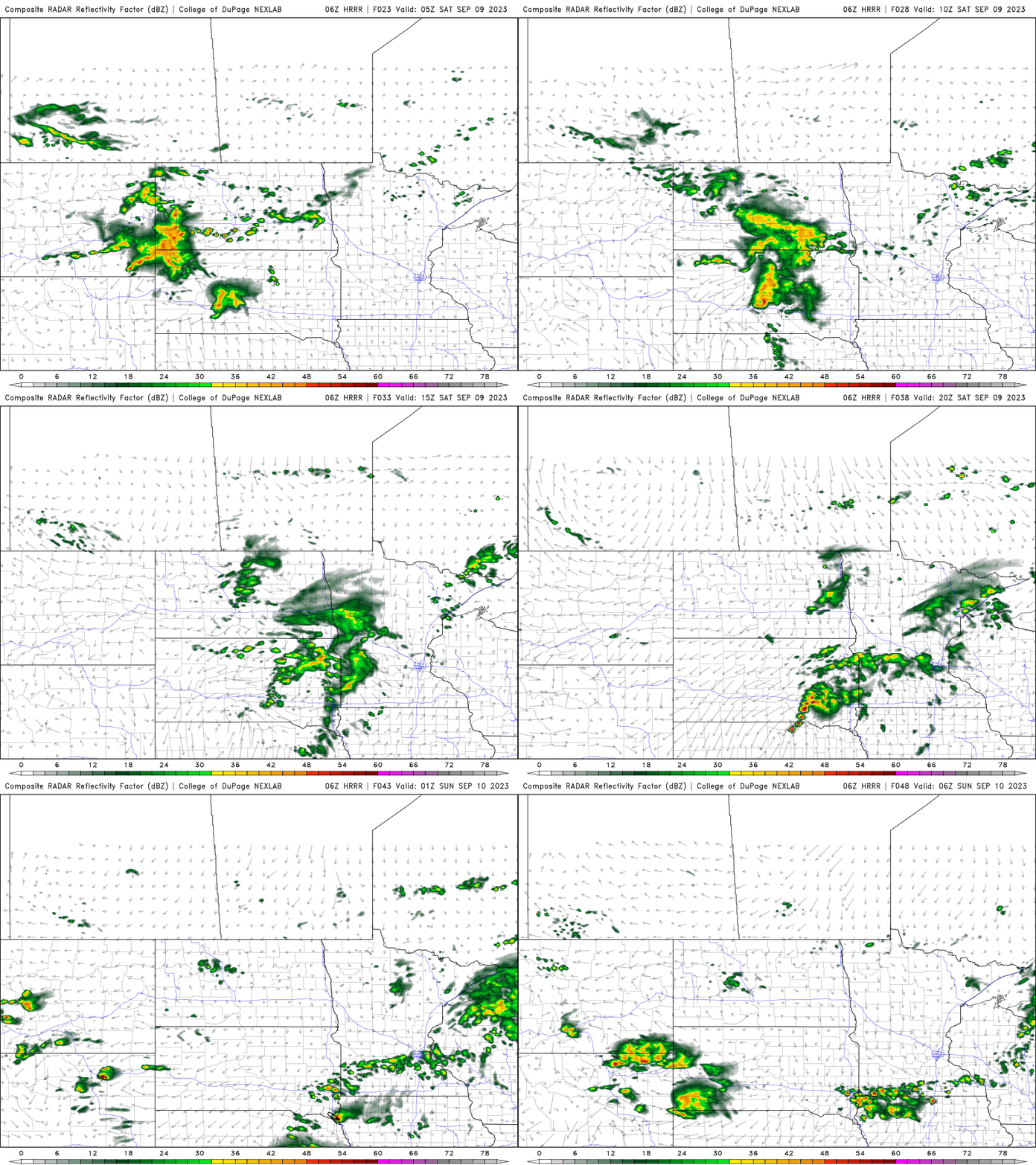
While seeing a few showers in the middle of our worsening drought is hopeful, this rainfall will not amount to anything widespread or beneficial for most of us, unfortunately.
The vast majority of us will see less than one-quarter inch of rainfall while parts of northern Minnesota will remain dry.
Turn Up Your Support
MPR News helps you turn down the noise and build shared understanding. Turn up your support for this public resource and keep trusted journalism accessible to all.
Rainfall deficits continue to grow. Since June 1 the Twin Cities is 7.89 inches behind while Rochester is a staggering 9.44 inches behind. Those values represent one-quarter or more of annual total precipitation on average.
Below are rainfall deficits for the past 180 days (since about mid-March):

Warmer, then cooler
The weekend disturbance that will leave most of us still thirsty will bring another shot of cooler air after a couple of warmer days Friday and Saturday. Highs Friday will be into the 80s in western Minnesota with widespread 70s except northeastern Minnesota.

Saturday will remain warm south, in the 70s to near 80 degrees but that cooler air will reach northern Minnesota already with highs there just around 70 degrees.

By Sunday temps will be in the 60s north to low 70s south and we can expect the same Monday. Tuesday may be even cooler with widespread highs in the 60s statewide. Overnight lows will be in the 40s and 50s.


