
Coolest temps in months coming; summerlike late week
Expect a few spotty showers Monday and Tuesday

Go Deeper.
Create an account or log in to save stories.
Like this?
Thanks for liking this story! We have added it to a list of your favorite stories.


A second round of cooler air is touching off a few showers and bringing even cooler air into the region Monday and Tuesday. Tuesday night will bring our coolest readings yet in months.
Cool air brings a few showers, chilly nights
Our first round of cool air over the weekend dropped temperatures to slightly below-normal readings, but a second blast is moving through Monday.
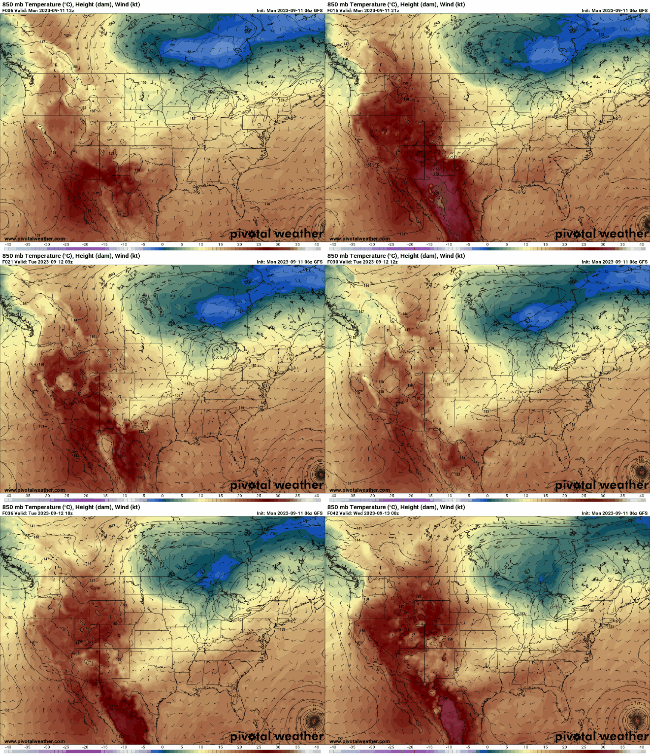
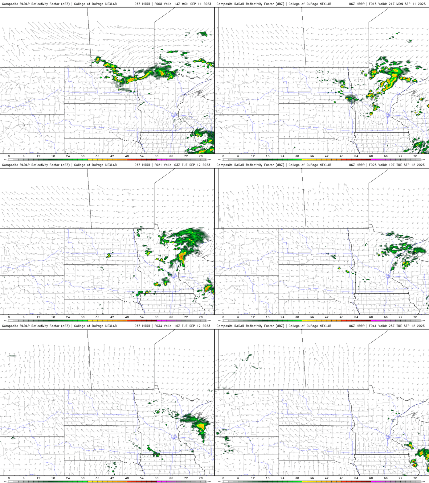
It’s touching off some showers during the day Monday in northern Minnesota and southern Minnesota by Monday evening and Tuesday.
Highs Monday will still be in the low 70s in southern Minnesota, but just around 60 in far northern Minnesota.
Turn Up Your Support
MPR News helps you turn down the noise and build shared understanding. Turn up your support for this public resource and keep trusted journalism accessible to all.

Tuesday will be even cooler with a mix of clouds and sun and a couple of spotty showers in southern Minnesota. Highs will mostly be in the 60s south and just 50s in northeastern Minnesota.

This will set us up for a chilly Tuesday night. Lows will dip into the 40s for the first time in the Twin Cities. Northeastern Minnesota will see widespread 30s with lots of patchy frost.
Warmer late week again
Wednesday and Thursday will be mostly sunny and we’ll be considerably warmer already by Thursday. Highs will be near 80 in southern Minnesota again.

Another disturbance moves through the state Friday that could touch off a few showers and increased cloud cover. Temperatures will otherwise remain above normal Thursday through the weekend.


