
Much cooler remainder of the week; 80s may be over
Spotty showers will again be possible into Thursday and Friday

Go Deeper.
Create an account or log in to save stories.
Like this?
Thanks for liking this story! We have added it to a list of your favorite stories.


Tuesday marked the fourth consecutive day in the 80s but is it the last, climatologically? Look for much cooler air and more possible showers Thursday and Friday.
Was Tuesday our last day in the 80s?
Most of Minnesota saw temperatures soar into the 80s again on Tuesday. We topped out at 87 degrees in the Twin Cities, marking the end of this unprecedented late season heat wave.
To recap: we hit 88 on Saturday, 92 on Sunday, 89 on Monday and 87 yesterday. Each of those readings was 20 to 25 degrees warmer than normal.

Hitting 80 degrees in early October isn’t uncommon, in fact about 52 percent of the time (since 2000) we top out at 80 or warmer for the warmest day of the month. Having three in a row and hitting 90+ degrees like we did this year is much, much more rare.
Turn Up Your Support
MPR News helps you turn down the noise and build shared understanding. Turn up your support for this public resource and keep trusted journalism accessible to all.
The probability of hitting 80 degrees however drops exponentially through the first half of the month.
In the first few days of October the probability is about 10 percent on any given day, but by the second week of October it's half that chance and by the time we hit mid-October, we’re five times less likely to hit 80 than in the first few days of the month.

With all that said, our latest 80-degree reading came on Halloween of 1950, so you never quite know. In case you’re curious, the average last 80 degree date is Oct. 1 and the average last 70 is Oct. 23. Each of those is a few days later than 50 years ago.
Cooler, windy; showers for some on the way
Much cooler air is flowing into Minnesota through the day Wednesday. Highs will range from the 50s in parts of northern Minnesota to the low 70s in southeastern Minnesota.

There will be the chance of a few showers in mostly northern Minnesota Wednesday.

Another blast of cool air and a clipper system will bring some showers overnight Wednesday night with spotty showers lingering into northern Minnesota Thursday. That chance of showers will spread south on Friday.
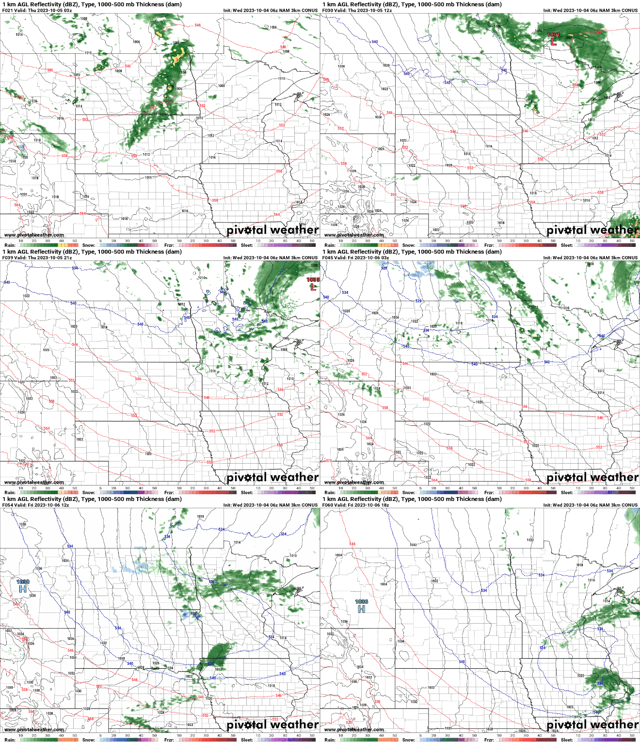
High temperatures Friday and Saturday will be in just the 40s north and low 50s south, below normal by about 10 to 15 degrees.

The chilly days will set us up for frigid mornings both Saturday and Sunday with widespread 30s and frost outside the Twin Cities metro area.

Temperatures rebound by Sunday and early next week with brighter skies returning as well.

