
Cooler air blast coming; drought conditions persist
Rain showers will come with the cooler air
Go Deeper.
Create an account or log in to save stories.
Like this?
Thanks for liking this story! We have added it to a list of your favorite stories.


Thursday will be windy with sunshine in southern Minnesota while northern Minnesota sees scattered showers develop. Cooler air moves in for Friday, touching off more showers.
The latest drought conditions report shows 82 percent of Minnesota is still in at least moderate drought, down only slightly from the prior week.
Thursday: Sun south, clouds and showers north
Instability driven showers will develop across northern and central Minnesota midday into the afternoon Thursday. Most of southern Minnesota will remain dry.
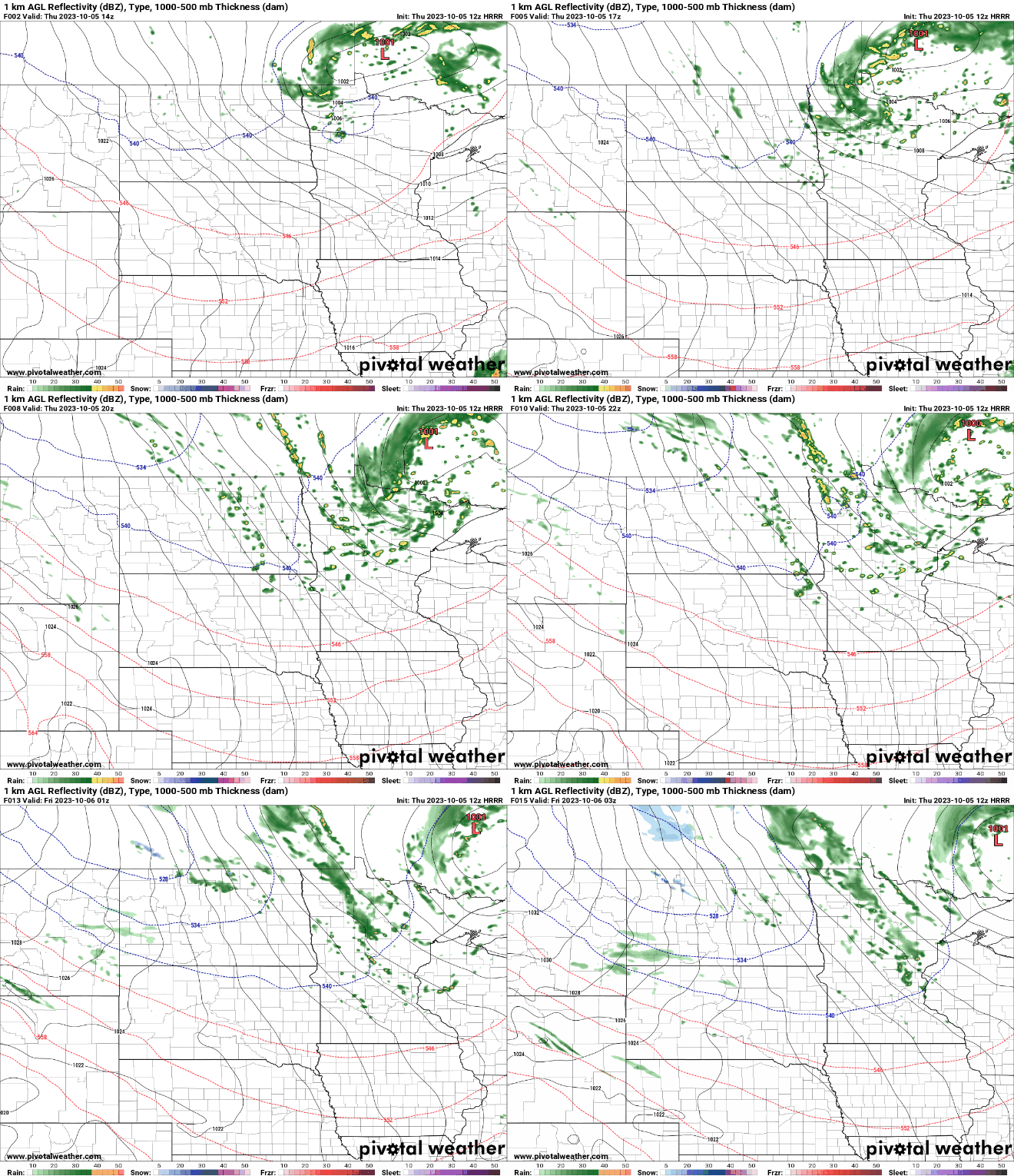
Southern Minnesota should also see more sunshine than northern Minnesota.
Turn Up Your Support
MPR News helps you turn down the noise and build shared understanding. Turn up your support for this public resource and keep trusted journalism accessible to all.

Highs Thursday will actually be near normal, in the low to mid-60s in southern Minnesota and in the 50s in northern Minnesota.

Cooler air Friday and Saturday with showers
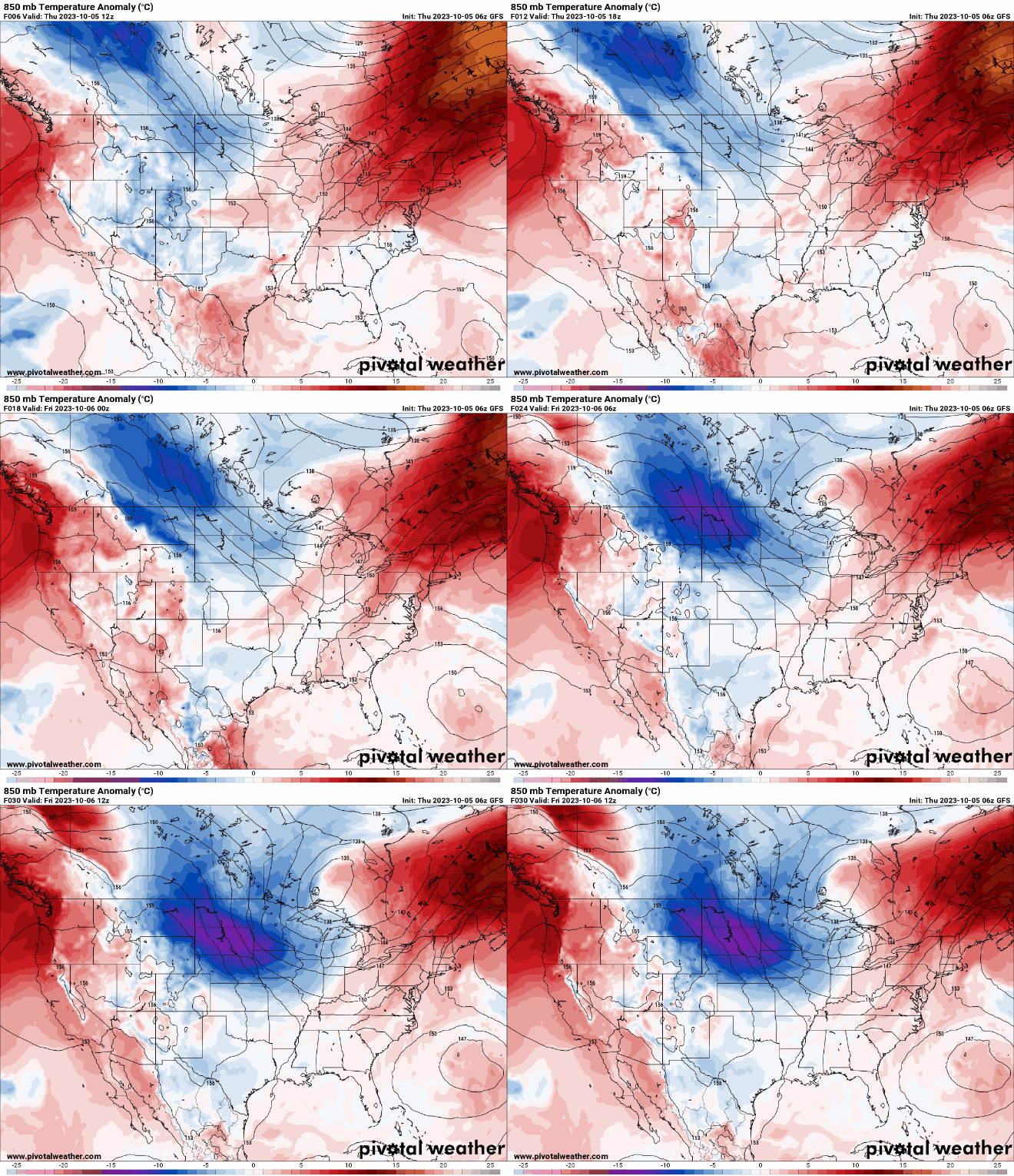
Our next blast of cooler air will be settling in for Friday and Saturday. That will drop high temperatures into the low 50s south both days and 40s north.

That chilly air will destabilize the atmosphere and create more clouds and some scattered rain showers along with yet another windy day Friday.
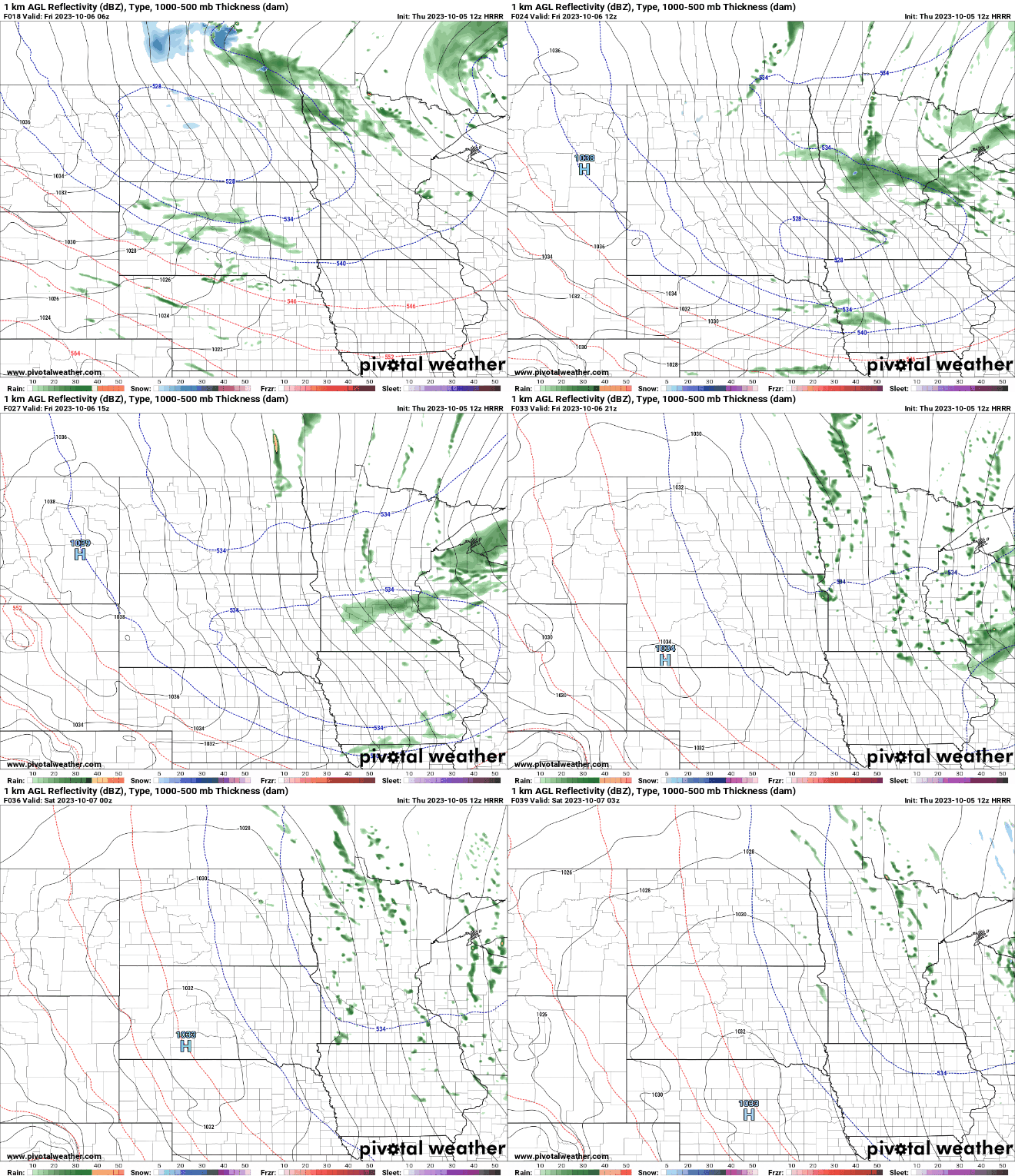
Brighter skies gradually appear through the weekend with more seasonably cool highs, mostly in the 50s to near 60 degrees.
Little change in the latest drought monitor
The latest drought monitor shows that 82 percent of Minnesota is still in at least moderate drought, down only very slightly from 83 percent a week ago. There are still pockets of extreme drought (red) in several spots.

Comparing last week to this week, we can see very little change. Sometimes, with the ongoing drought, no news is good news.

Most of the rain over the past seven days was across central Minnesota and somewhat localized. At this time of the year we need just over one-half inch of rain per week to keep the rainfall deficit from growing.

The rainfall deficit since June 1 still is just shy of 7 inches at Minneapolis-St. Paul International Airport and just under 9 inches in Rochester.

