

Coldest air since April; frost advisory, freeze watch and warnings west
Mostly cloudy Friday; sun gradually appears this weekend
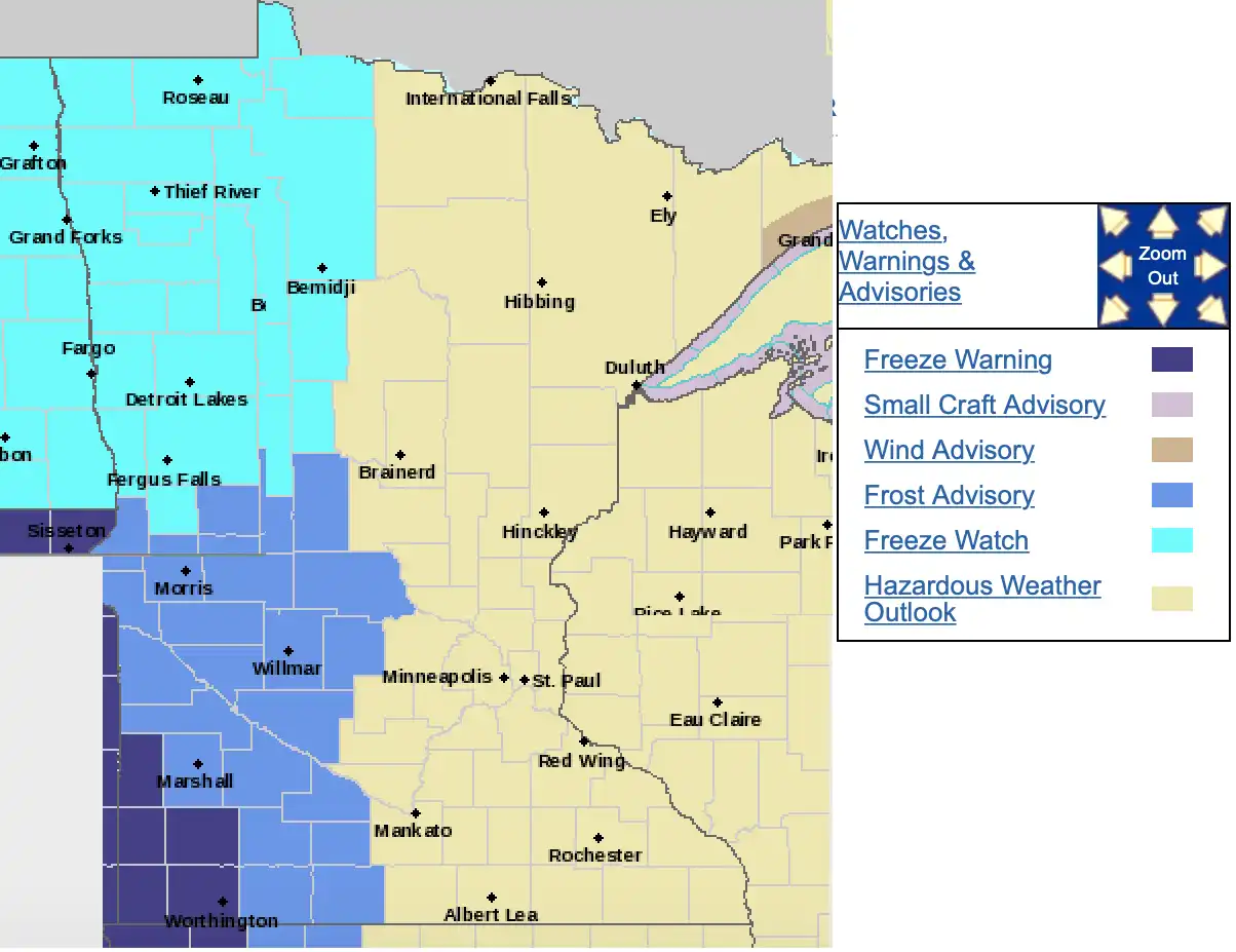
Frost advisories, freeze watch and warnings west for Friday night into early Saturday
National Weather Service
Go Deeper.
Create an account or log in to save stories.
Like this?
Thanks for liking this story! We have added it to a list of your favorite stories.
