
Significant rain on the way after a nice Wednesday
More than 2 inches of rain could fall Thursday into Friday

Go Deeper.
Create an account or log in to save stories.
Like this?
Thanks for liking this story! We have added it to a list of your favorite stories.


Wednesday will bring more sun and near normal temperatures in central and southern Minnesota while northeastern Minnesota sees clouds.
Rain is on the way Thursday into Friday.
A nice Wednesday
Wednesday will be warmer and our last day with sunshine (for central and southern Minnesota) for a little while. Highs will be near or even into the low 60s in southern Minnesota.

Northeastern Minnesota will see more clouds that continue to rotate around a system to our east.
Turn Up Your Support
MPR News helps you turn down the noise and build shared understanding. Turn up your support for this public resource and keep trusted journalism accessible to all.

Soggy weather develops Thursday into Friday
A storm system developing to our west will bring rain to the southern most counties of Minnesota early Thursday and that will expand north and northeast through the day, reaching the Twin Cities and central Minnesota by late afternoon and reaching places like Brainerd and Duluth overnight Thursday night.
Friday will be a wet day for most of the state.
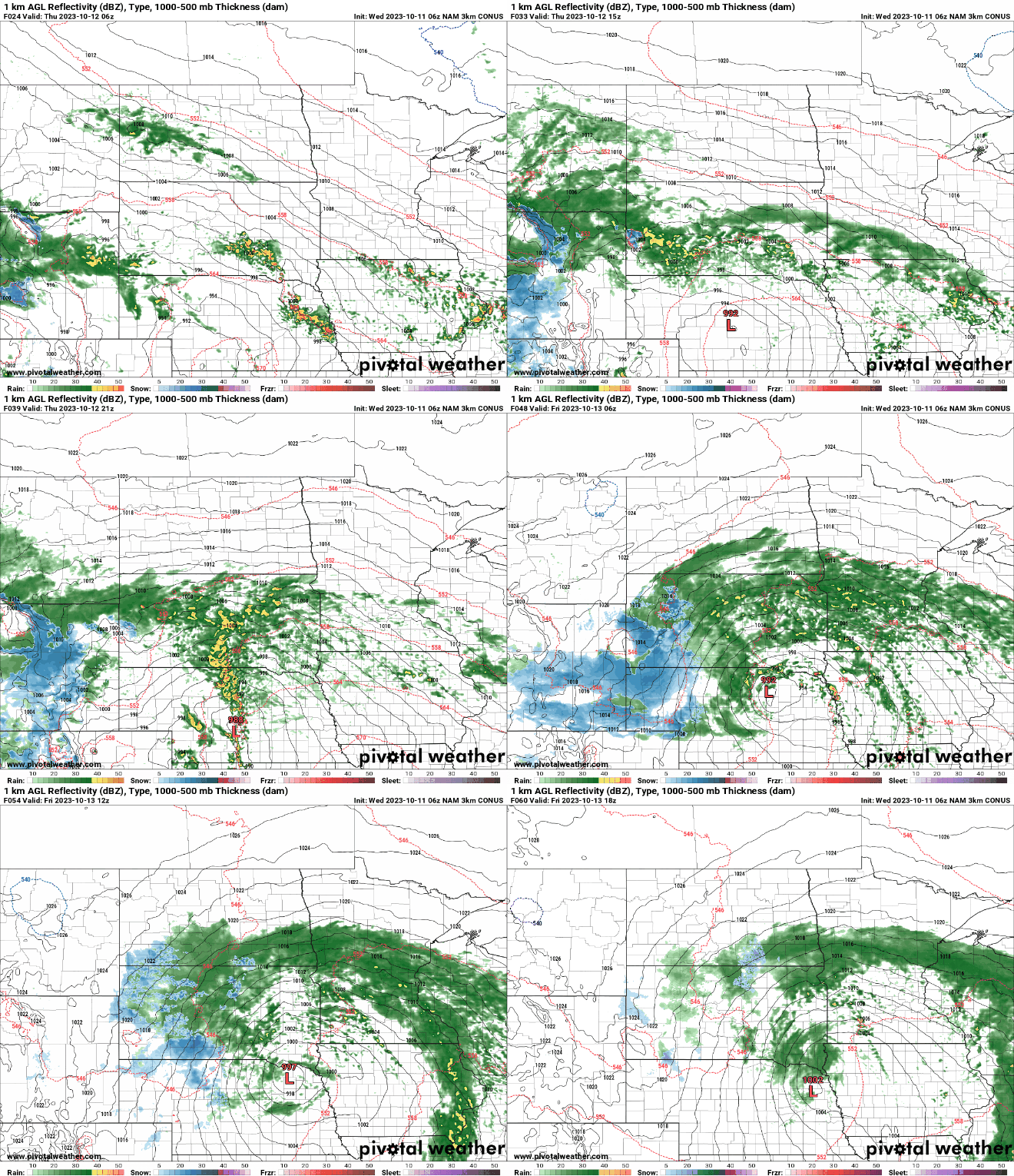
The rain will wrap up early Saturday leaving potentially, 1 to 3 inches of rain with some isolated 4-inch amounts possible in southern Minnesota.

Precipitable water content, which is a measure of how much moisture is in the air available for a storm system to produce rain, is forecast to be in the 90th percentile. This means the storm, while a mid-autumn storm, will have the potential to produce more precipitation than your average fall storm.


