
Mild start but frigid end to the week with rain, snow possible
40 degree drop in temps from Tuesday to Saturday
Go Deeper.
Create an account or log in to save stories.
Like this?
Thanks for liking this story! We have added it to a list of your favorite stories.


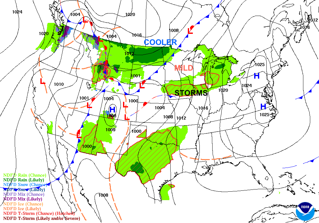
The week will start mild with spotty showers north Monday. Thunderstorms and rain will be possible midweek with a big drop in temps coming to end the week along with possible snow.
A week of contrasts ahead
Enjoy a mild couple of days to start the week. We’ll see highs in the 60s Monday in southern Minnesota and 50s in the north.

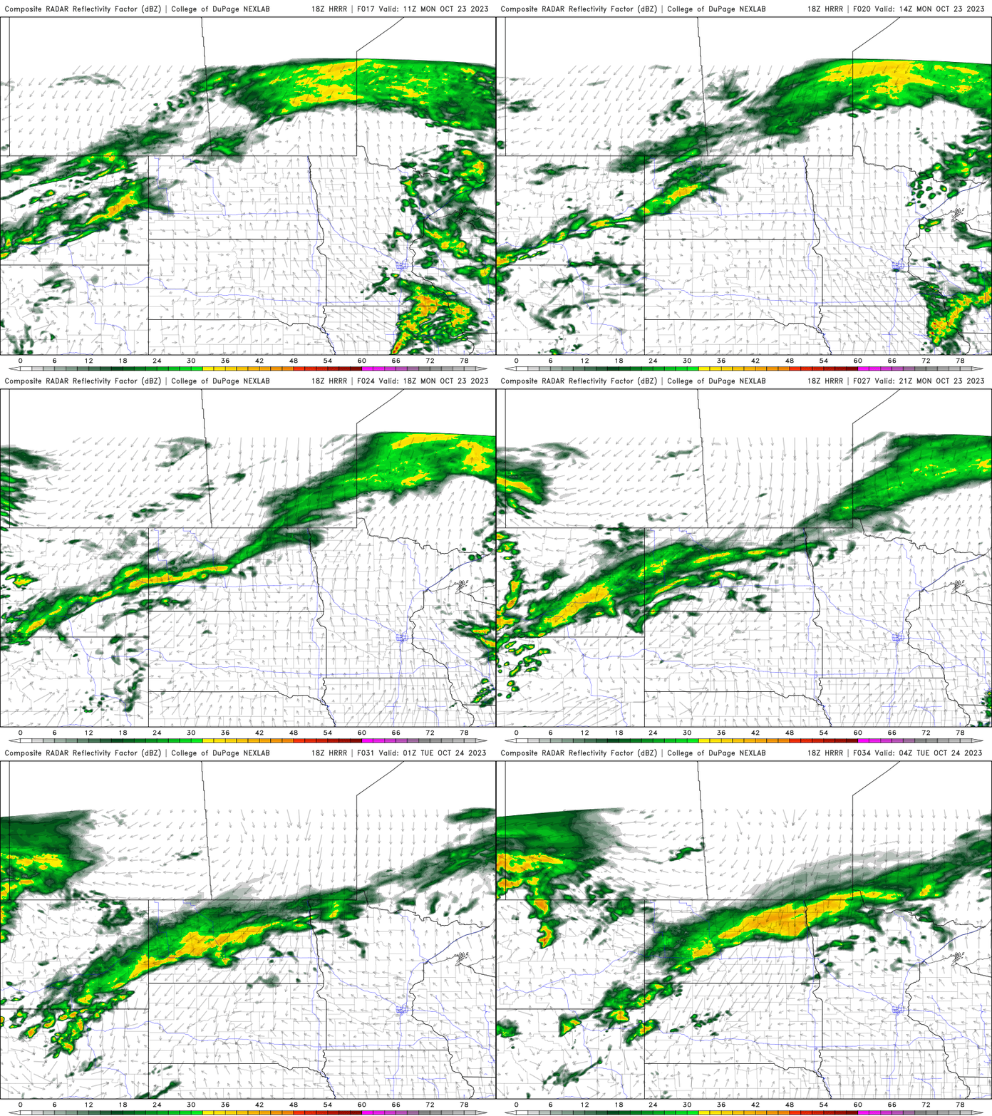
Ahead of warmer air pushing in and an upper level disturbance, we’re seeing some spotty showers mainly for northern Minnesota Monday.
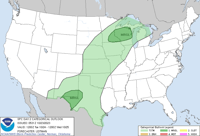
Tuesday will be very warm for late October with highs in the 70s across southeast Minnesota.

The stage will be set up for potentially strong thunderstorms Tuesday as dew points increase and the next storm system develops in southern Minnesota.
Showers and thunderstorms will move through late Tuesday into Wednesday with that storm system.
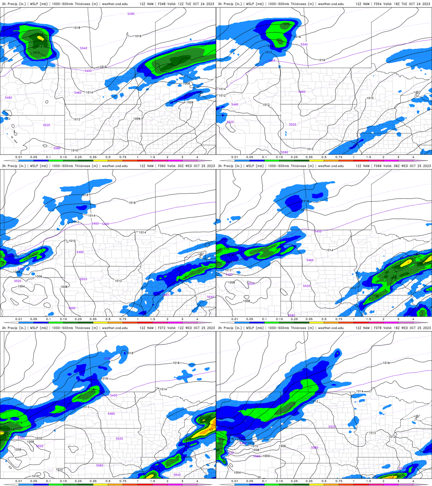
Behind that, colder air will start to move in and yet another storm system will develop for late in the week which could bring more rain and potentially even snow to parts of northern and western Minnesota followed by the coldest air of the season thus far by the weekend.
Turn Up Your Support
MPR News helps you turn down the noise and build shared understanding. Turn up your support for this public resource and keep trusted journalism accessible to all.

