
Still chilly Wednesday; warmer by Friday with weekend precipitation possible
Expect a mix of clouds and sun Wednesday

Go Deeper.
Create an account or log in to save stories.
Like this?
Thanks for liking this story! We have added it to a list of your favorite stories.


Wednesday will be on the cool side of normal still with a mix of clouds and sun. We’ll be warmer by Friday but also back in the clouds with the chance of some showers.
Temperatures trend upward; precipitation chances this weekend
Temperatures will still run below normal Wednesday. Highs will range from the upper 20s in northwest Minnesota to low 40s in southwest Minnesota. These readings are still five to fifteen degrees below normal.

We’ll see a mix of clouds and sun Wednesday but we should see more sunshine across southern Minnesota at least on Thursday. Temperatures will be slightly warmer Thursday. Friday will be our warmest day this week with highs near 50 in far southern Minnesota but still chilly in the north.

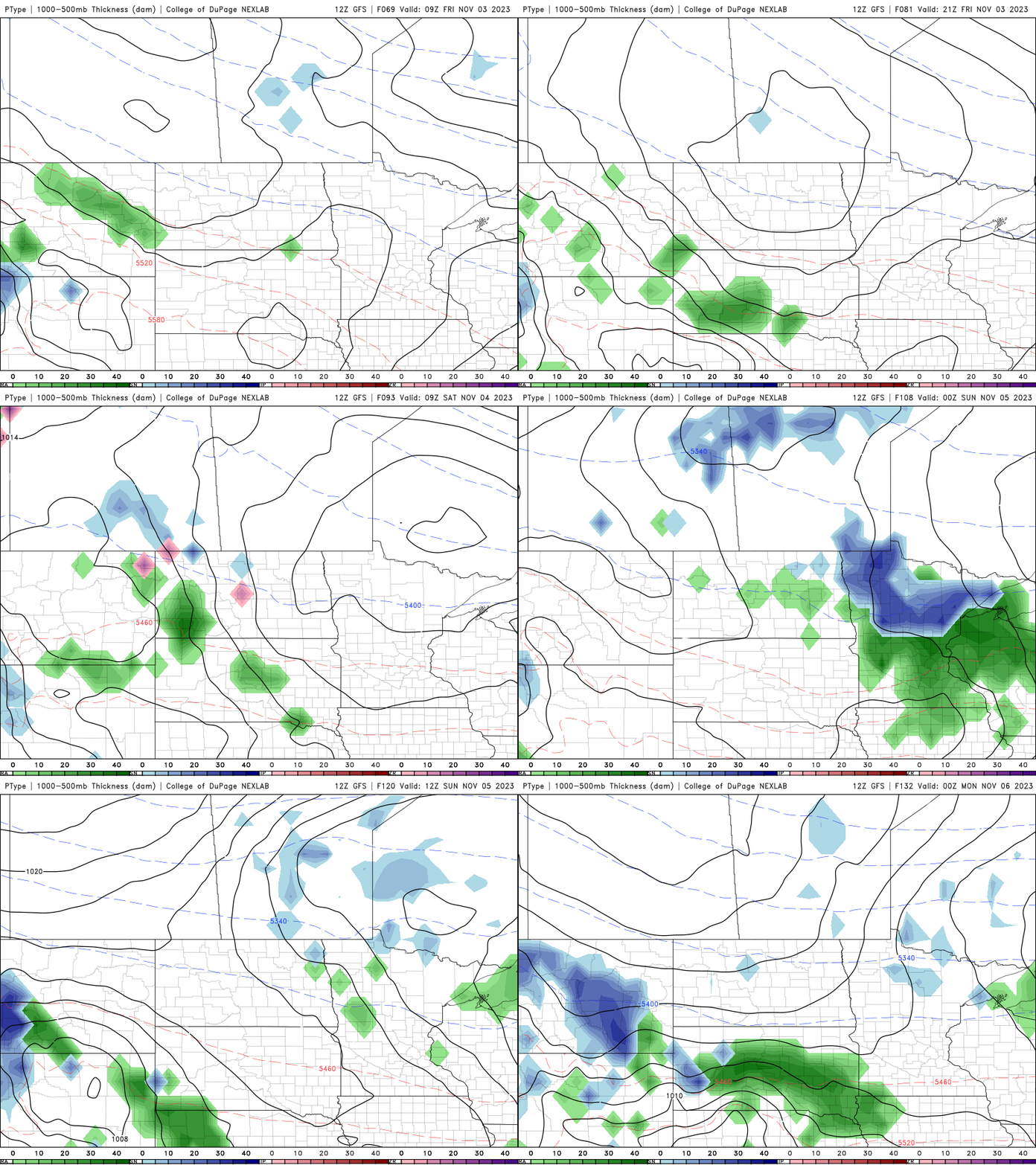
The first of two disturbances will bring the chance of a few spotty showers Friday with a better chance of more widespread precipitation developing late Saturday into Sunday and Sunday night.
Turn Up Your Support
MPR News helps you turn down the noise and build shared understanding. Turn up your support for this public resource and keep trusted journalism accessible to all.

