
Light precipitation chances with colder air coming
Temperatures will remain above normal Monday

Go Deeper.
Create an account or log in to save stories.
Like this?
Thanks for liking this story! We have added it to a list of your favorite stories.


We will transition away from milder temperatures by Thanksgiving but remain above normal Monday and Wednesday. Some areas will see light rain and snow into Tuesday.
Mild, cloudy Monday with some light rain
The clouds are back for Monday after a bright and mild weekend. Expect gray skies to persist through the day.
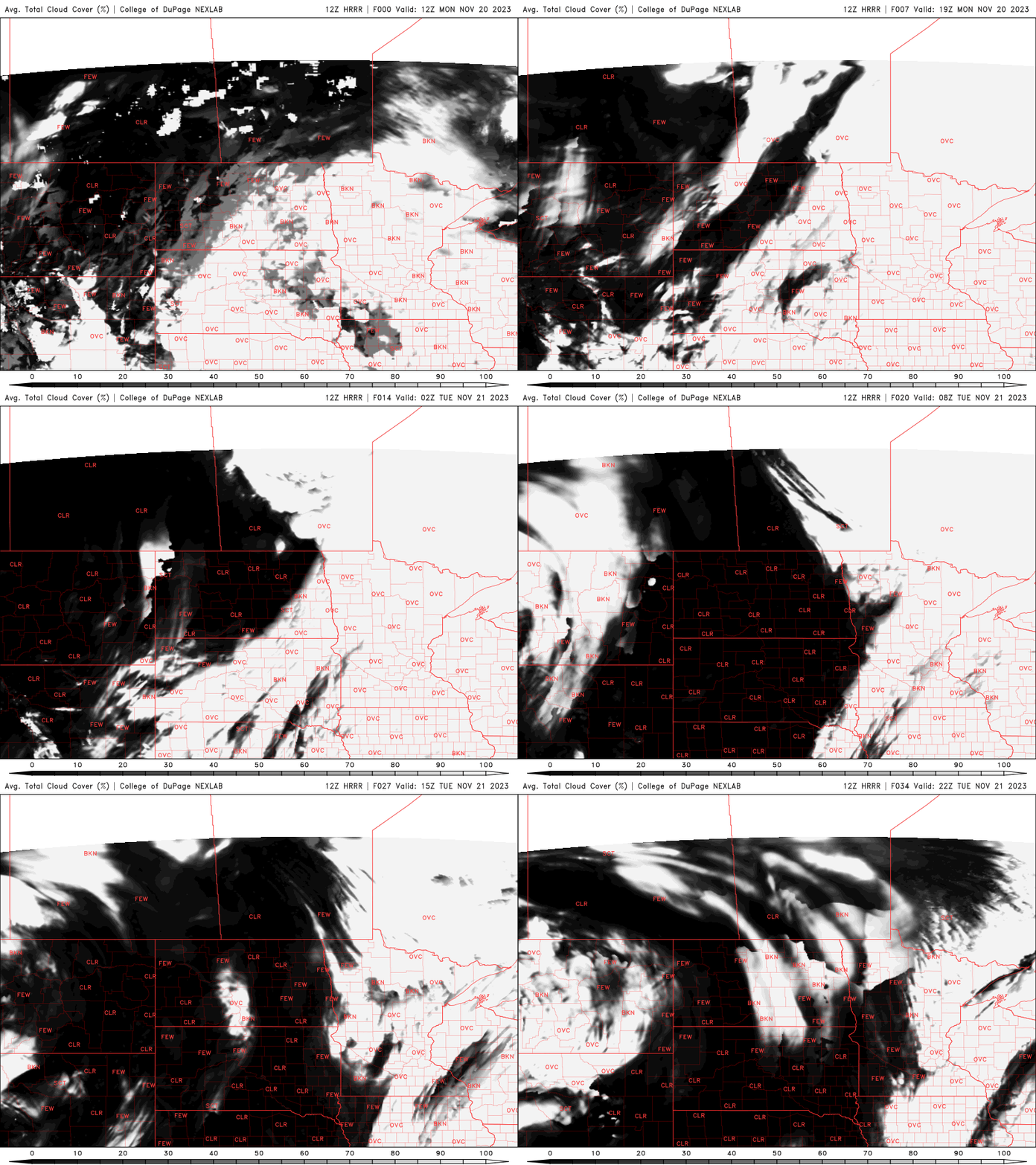
High temperatures will still be above normal but cooler than the weekend with highs mostly in the 40s.

We’ll also see some patchy areas of scattered light rain showers and drizzle Monday ahead of a cold front and north of a larger storm system moving across the central United States into Tuesday.
Turn Up Your Support
MPR News helps you turn down the noise and build shared understanding. Turn up your support for this public resource and keep trusted journalism accessible to all.
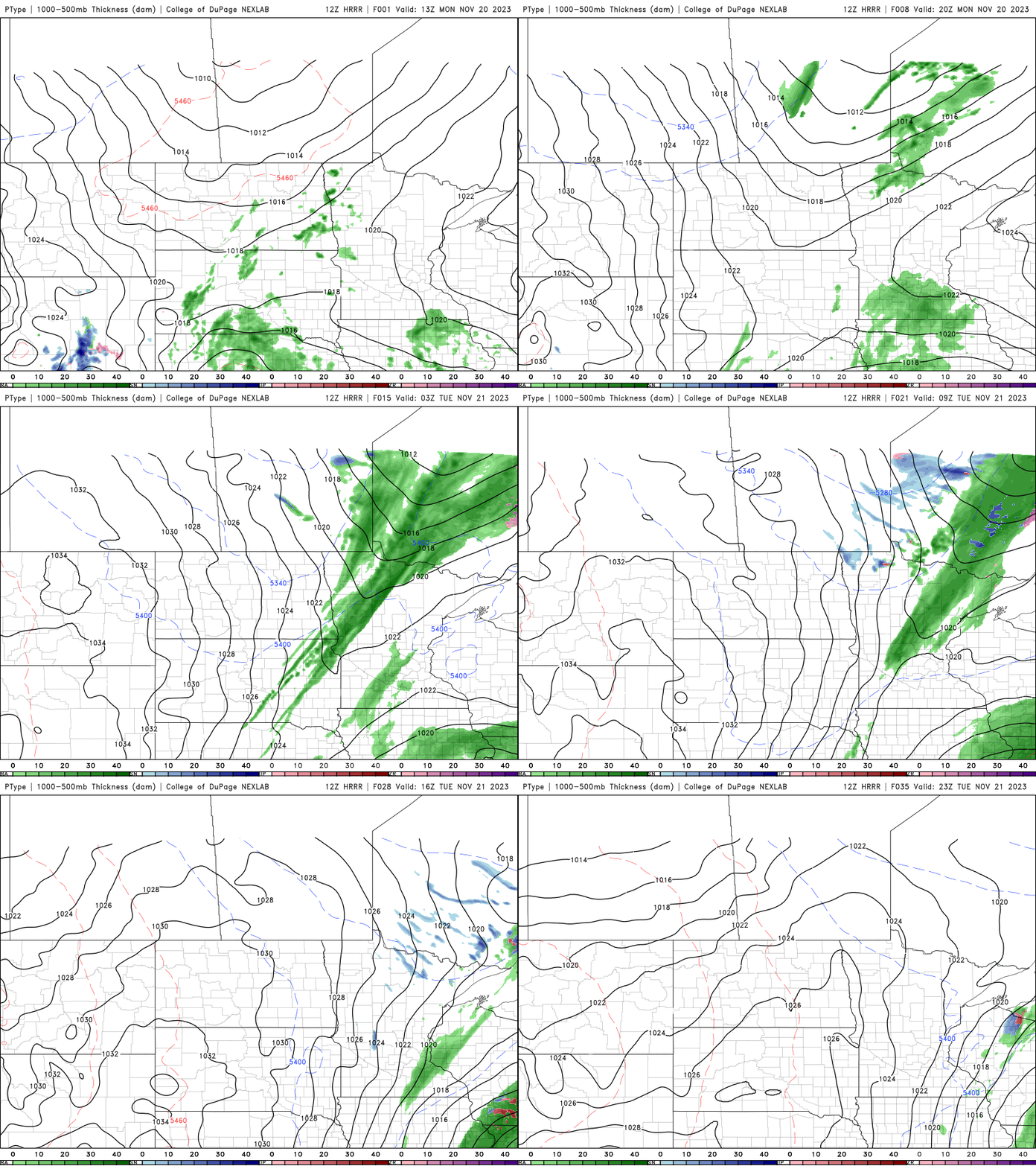
Snow possible northeast; windy statewide Tuesday
The light rain showers will turn to some snow showers for northeastern Minnesota early Tuesday as a cold front sweeps across the region. Any snowfall accumulation should be just a light coating in parts of northeastern Minnesota.

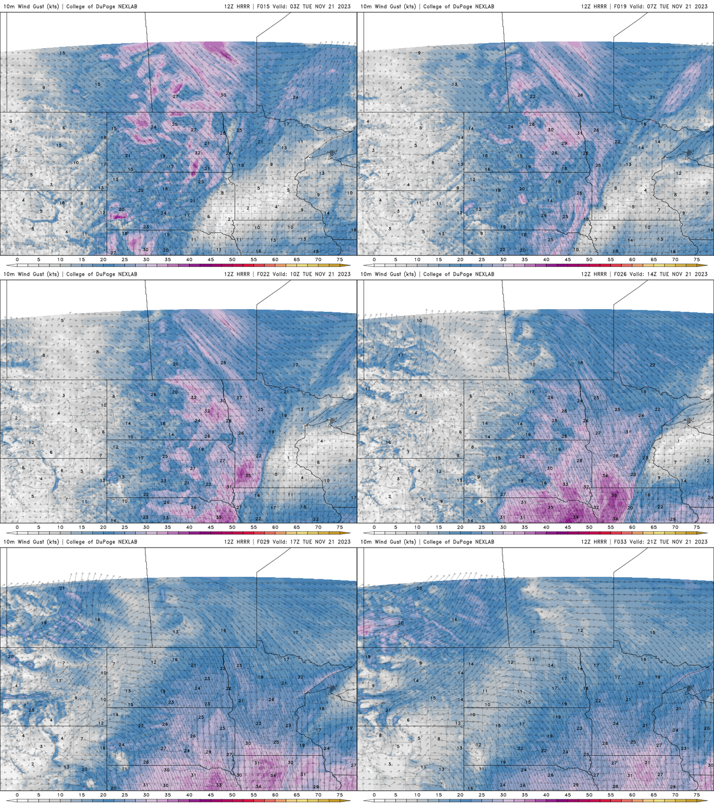
Tuesday will be windy in the wake of the cold front with winds 10 to 25 mph from the northwest.
Highs Tuesday will be around 40 south to the low to mid-30s north.

Much colder by Thanksgiving and into the weekend
Wednesday will be warmer briefly ahead of a second cold front. Highs will be near 50 in southern Minnesota with blustery south winds.

Behind the second cold front, however, temperatures will be much cooler and below normal for a change. Highs Thursday will be in the low 30s south to 20s north.

Temperatures will remain chilly into the weekend.

