
Breezy and warmer Wednesday before colder air moves in
Thanksgiving into the weekend will be cold

Go Deeper.
Create an account or log in to save stories.
Like this?
Thanks for liking this story! We have added it to a list of your favorite stories.


Temperatures will be briefly back above normal for southern Minnesota Wednesday. Colder air moves in Wednesday night, making for a cold Thanksgiving into the weekend.
Warmer Wednesday then much cooler Thursday
Temperatures will run more than 10 degrees above normal in southern Minnesota Wednesday as warmer air briefly pushes back into much of the state. Look for some sun, but clouds will increase from north to south throughout the day.

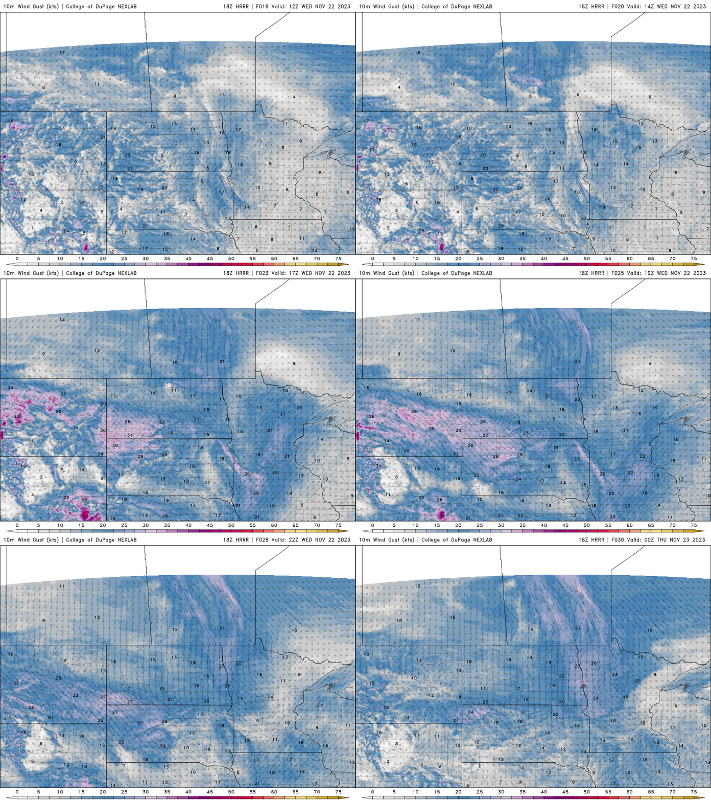
It will still be windy but out of the southwest ahead of the next cold front. Winds will be about 10-20 mph.
Look for temperatures to drop Wednesday night into early Thursday. We’ll wake up to lows in the 20s south to teens north on Thursday. Wind chills will be near zero north to the upper teens south early.

Thanksgiving Day will be dry with partly cloudy skies and cold. Highs will be in the 20s to low 30s.

The chilly weather persists into early next week. We’ll remain mostly dry as well until Saturday night into Sunday when we could see rain and snow showers move into the region.
Turn Up Your Support
MPR News helps you turn down the noise and build shared understanding. Turn up your support for this public resource and keep trusted journalism accessible to all.

