
Crisp, breezy afternoon; pleasant weekend ahead

Go Deeper.
Create an account or log in to save stories.
Like this?
Thanks for liking this story! We have added it to a list of your favorite stories.


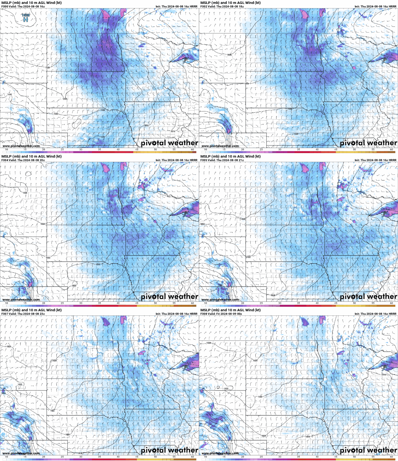
Breezy northwest winds continue behind a disturbance that has since pushed off towards the Great Lakes region. Cooler Canadian air filters in with highs in the upper 60s and 70s and lower to mid-60s up north. Temperatures warm gradually toward next week.
Temps stay below average
Fair weather cumulus clouds continue to decorate our Thursday afternoon skies as breezy northwesterly winds gust up to 20 mph. High temperatures for the remainder of this week continue to be 10-15 degrees below our average in the 60s and 70s.
Look for below seasonal temperatures this weekend.
Isolated showers to the north, sunshine south
Some very isolated showers around the international border and northern Minnesota Thursday afternoon through Thursday evening. Chances for precipitation stick to north of Interstate 94.
Turn Up Your Support
MPR News helps you turn down the noise and build shared understanding. Turn up your support for this public resource and keep trusted journalism accessible to all.
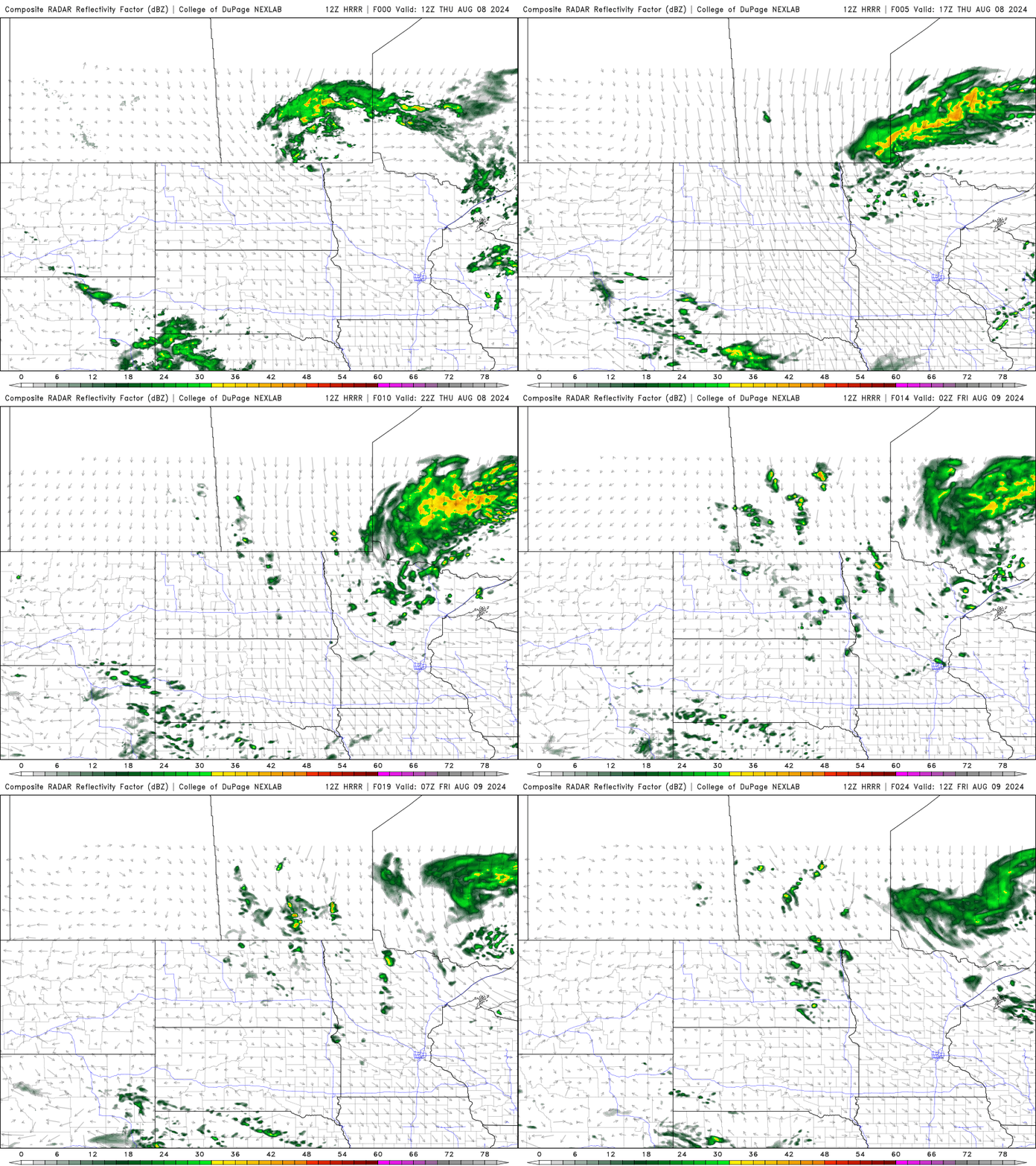
Thursday night our clouds will dissipate, and our winds will decrease. With little cloud cover and light winds that will set us up for a chilly evening across the state. Expect lows in the upper 40s to lower 50s.

Gradual warmup with fair weather skies
A steady warming trend will bring our high temperatures back into the upper 70s by Sunday.
We will still have those northwesterly winds on Saturday before high pressure builds in on Sunday. This will shift our winds to the southeast bringing in some slightly warmer temperatures.
Look for temperatures in the 80s by the middle of next week with dry conditions.


